Mapa catalogado
Belényes


Título completo:Belényes
Tamaño físico:20 x 30 cm
Escala del mapa:1:75 000
Lambert-Cholesky sheet 2368 (Beiuş)
1957
Direcția Topografică Militară
1:20k
Lambert-Cholesky sheet 2369 (Meziad)
1940
Institutul Geografic Militar
1:20k
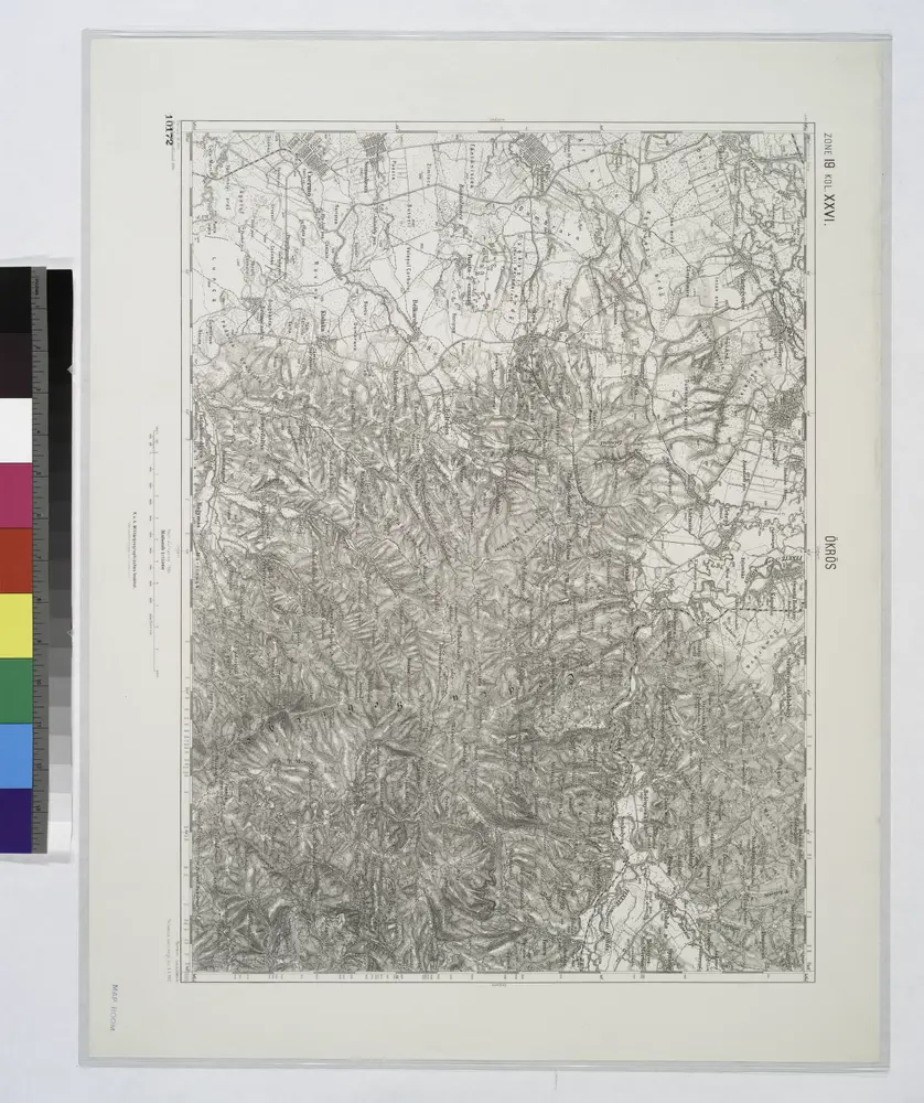
Okros.
1914

Belenyes und Sulest.
1914
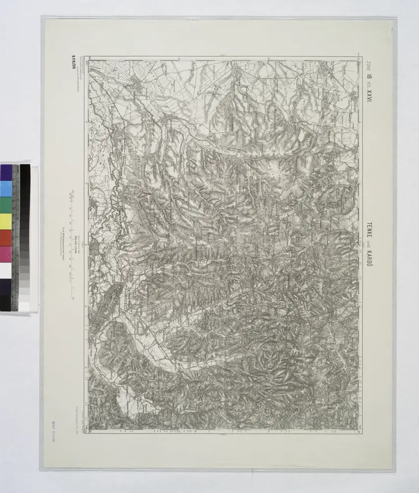
Tenke und Kardo.
1914
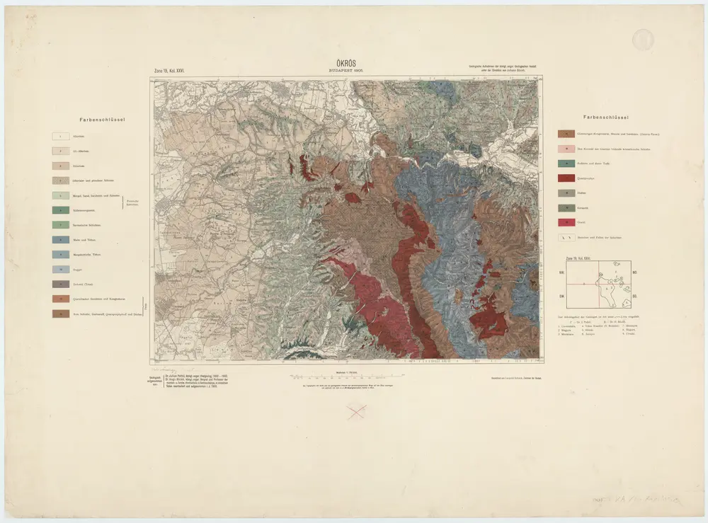
Zone 19, Kol. XXVI, Ökrös, uit: [Geologische Specialkarte der im Reichsrathe vertretenen Königreiche und Länder der österreichisch-ungarischen Monarchie] / geologische Aufnahmen der königl. ung. Geologischen Anstalt
1889
Königliche Ungarische Geologische Reichsanstalt; Königliche Ungarische Geologische Anstalt
1:75k
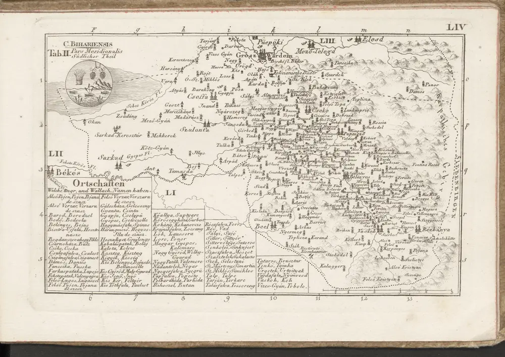
C. Bihariensis. Tab. II
1804
n/a
1804
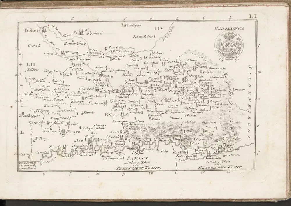
C. Aradiensis
1804
n/a
1804