Project
Community
News
My maps
编目地图
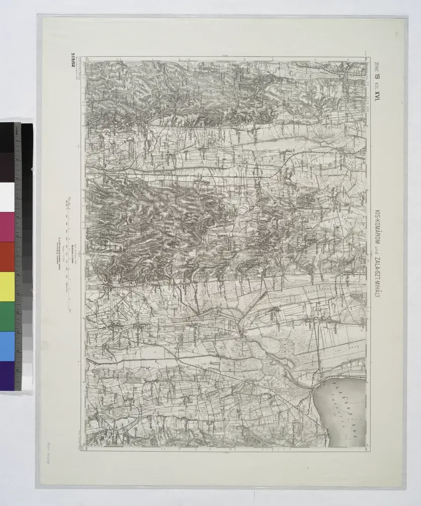
Kis-Komárom
View on external website
完整标题:
Kis-Komárom
物理尺寸:
20 x 30 cm
地图比例尺:
1:75 000
Catalog
geoportost.ios-regensburg.de
Kis-Komarom und Zala-Szt.-Mihaly.
1914
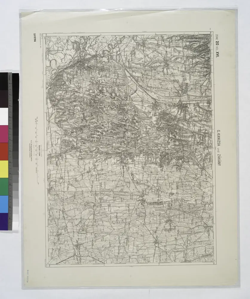
G. Kanizsa und Zakany.
1914
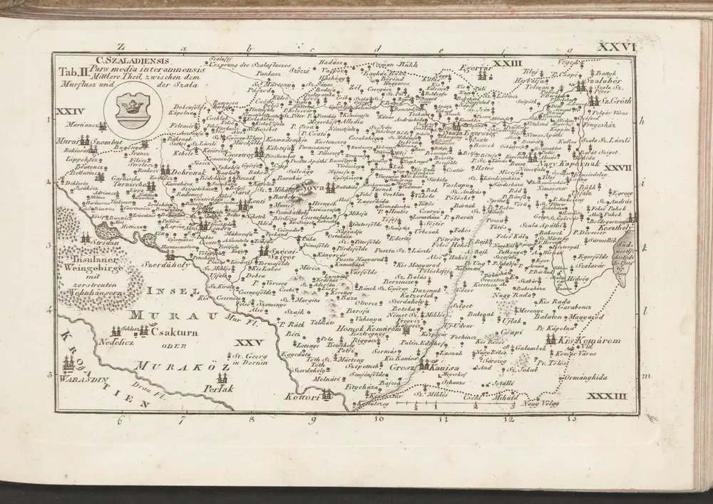
C. Szaladiensis. Tab. II
1804
n/a
1804
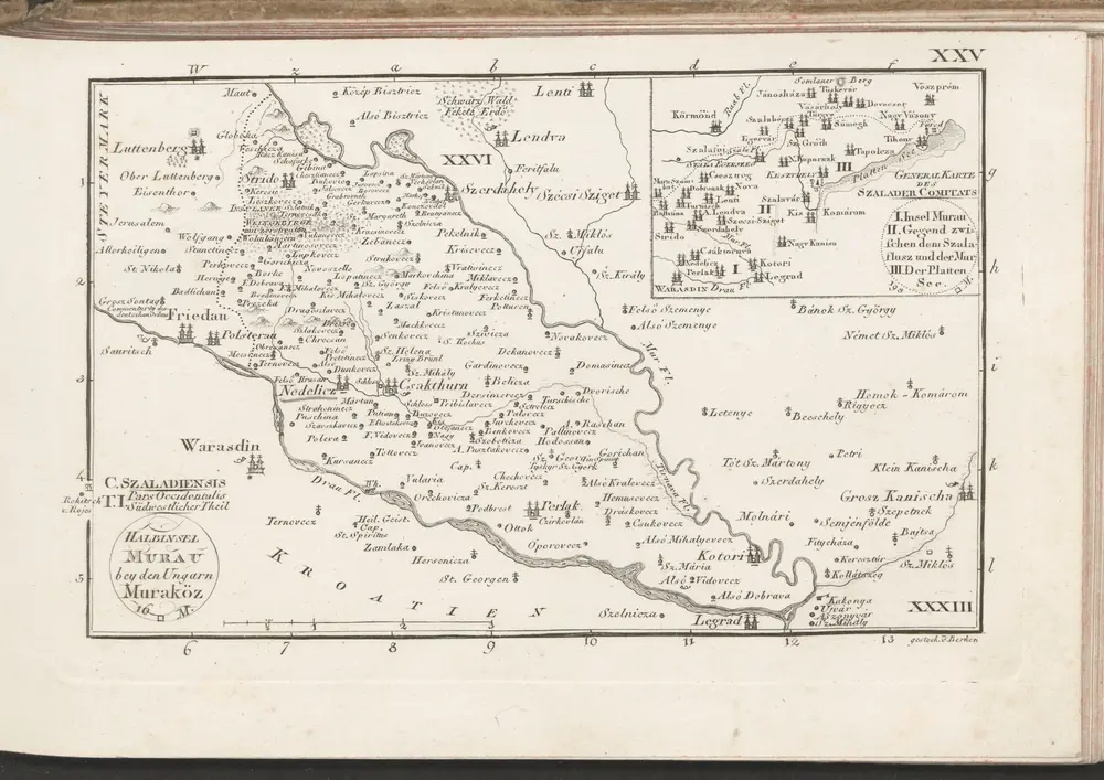
C. Szaladiensis. Tab. I
1804
n/a
1804
Comitat Somogy
1870
1:300k
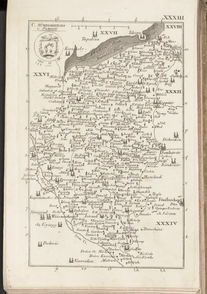
C. Sümeghiensis
1804
n/a
1804
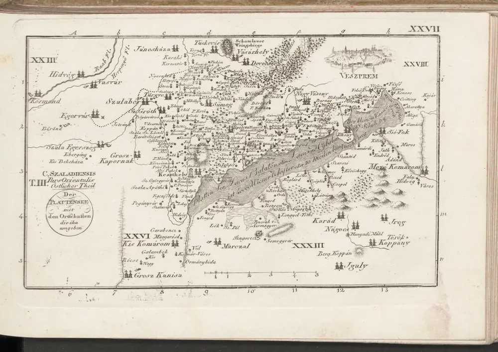
C. Szaladiensis. Tab. III
1804
历史