Project
Community
News
My maps
Mappa catalogata
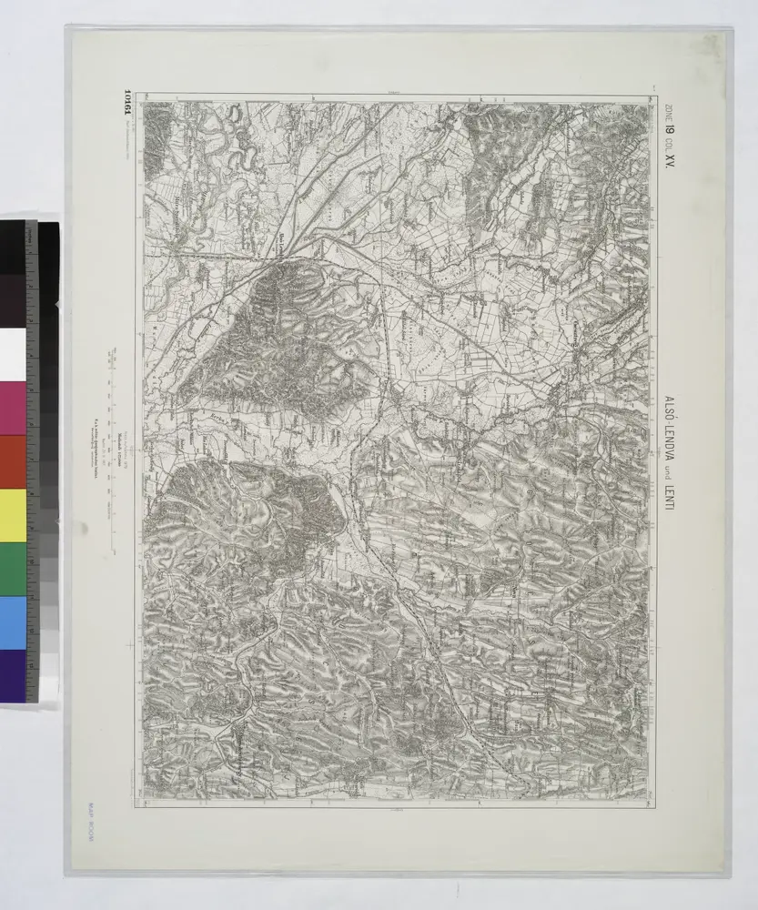
Alsó Lendva
View on external website
Titolo completo:
Alsó Lendva
Dimensione fisica:
20 x 30 cm
Scala della mappa:
1:75 000
Catalog
geoportost.ios-regensburg.de
Also-Lendva und Lenti.
1914
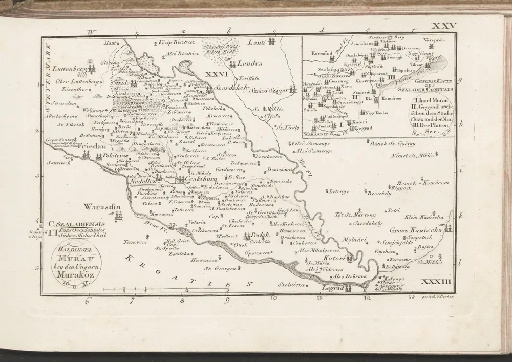
C. Szaladiensis. Tab. I
1804
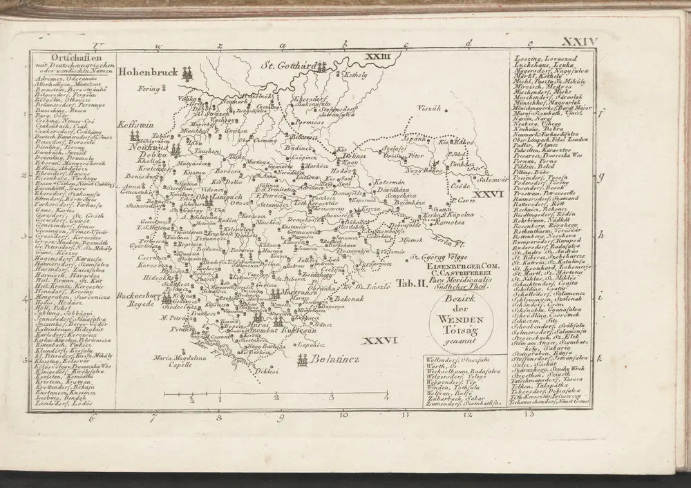
Eisemburger Com. Tab. II
1804
n/a
1804
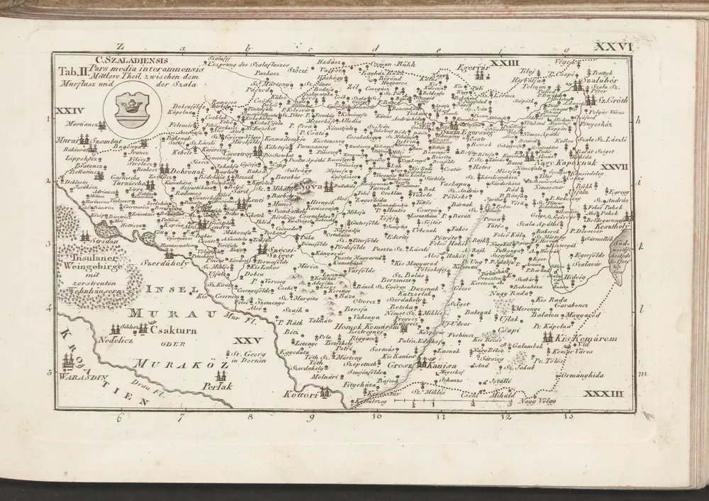
C. Szaladiensis. Tab. II
1804
n/a
1804
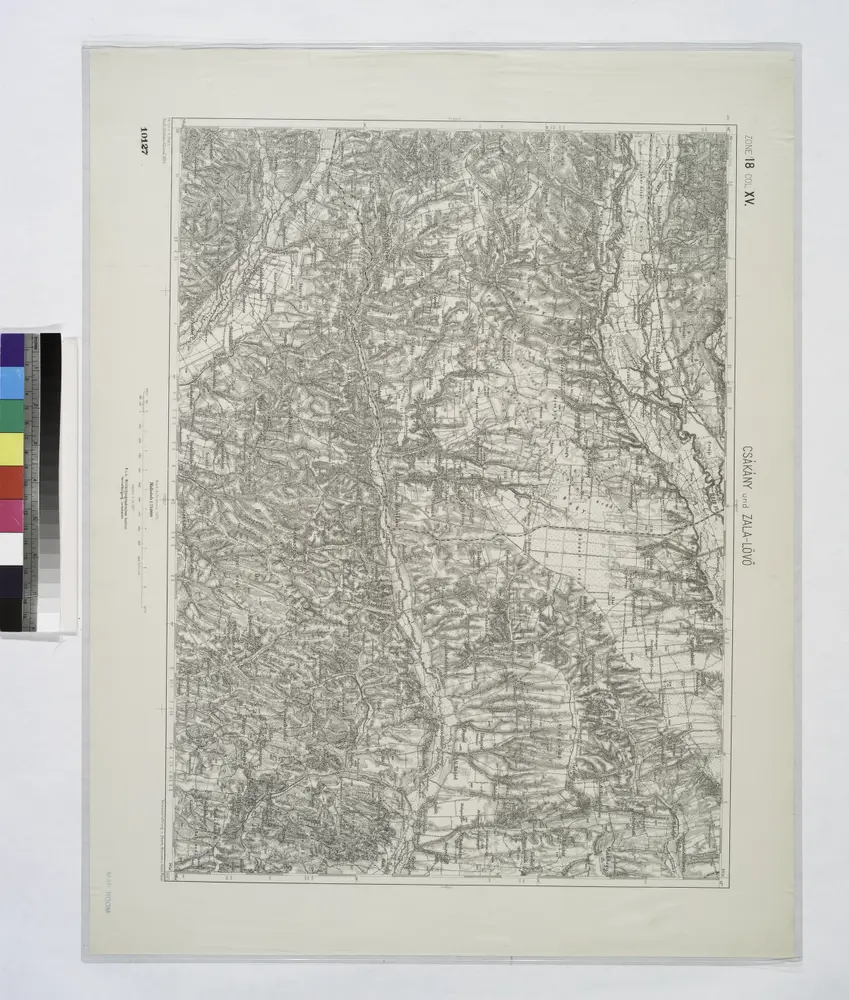
Czakany und Zala-Lovo (Ungarn).; Spezialkarte der osterreichisch-ungarischen Monarchie.
1907
n/a
1804
n/a
1804
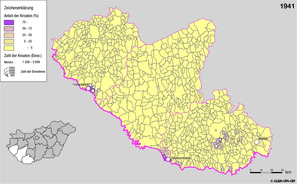
Kroaten in Südwest-Ungarn 1941
1941
Bottlik, Zsolt
La storia