Gecatalogiseerde kaart
Radmannsdorf


Volledige titel:Radmannsdorf
Fysieke grootte:20 x 30 cm
Schaal kaart:1:75 000
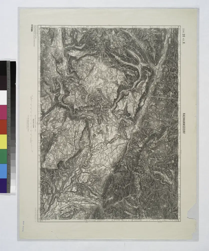
Radmannsdorf.
1914
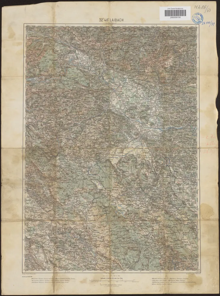
32°46° Laibach / K.u.k. militär-geographisches Institut
1900
K.u.k. militär-geographisches Institut
Unterkærnten oder der Klagenfurter Kreis
1790
Kindermann; Miller; Junker
n/a
1796
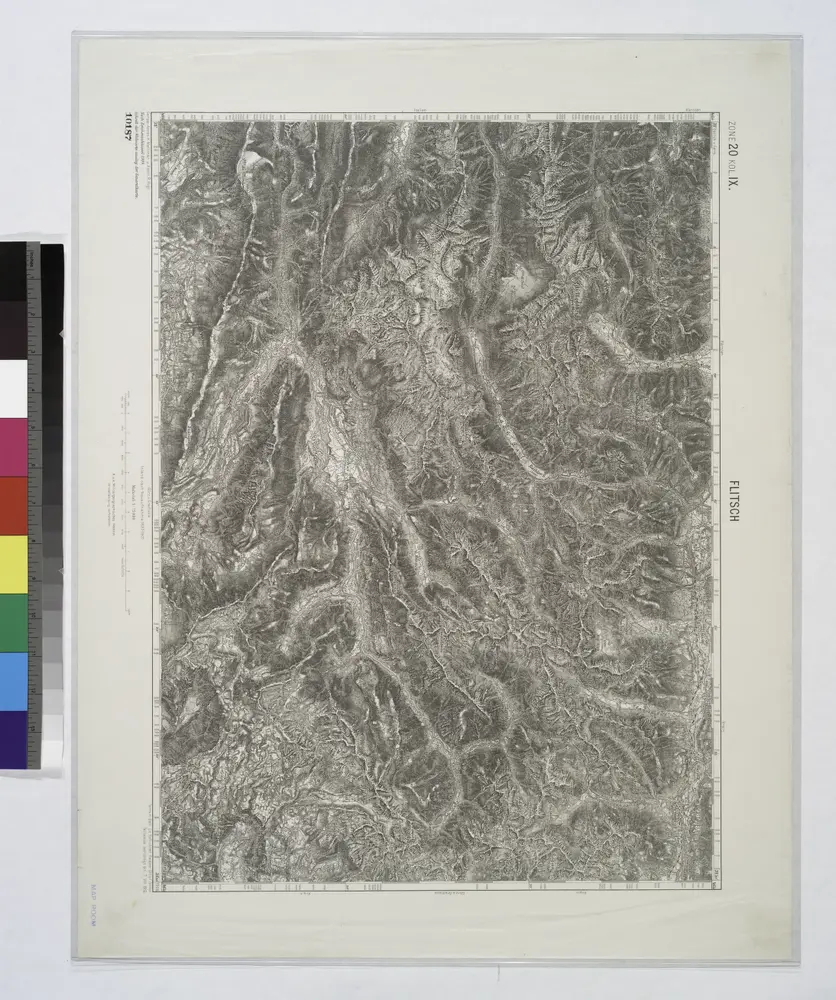
Flitsch.
1914
Lo Stato Veneto da terra diviso nelle sue provincie, seconda parte che comprede porzioni del Dogado del Trevisano del Friuli e dell' Istria
1791
1:475k
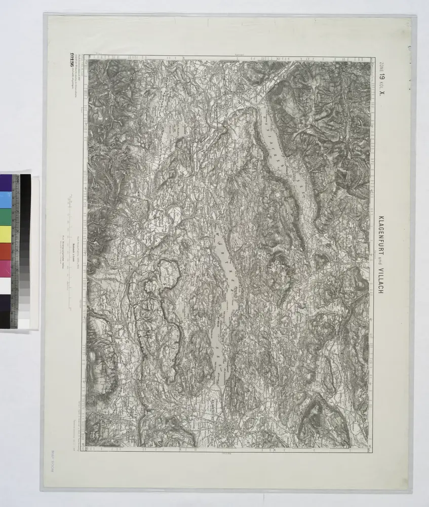
Klagenfurt und Villach.
1914
Fori Ivlii accvrata descriptio
1579
Sambucus; Ortelius
Fori Ivlii accvrata descriptio
1573
Sambucus; Ortelius
Krain-Küstenland
1901
Bibliographisches Institut
1:850k