Mapa catalogado
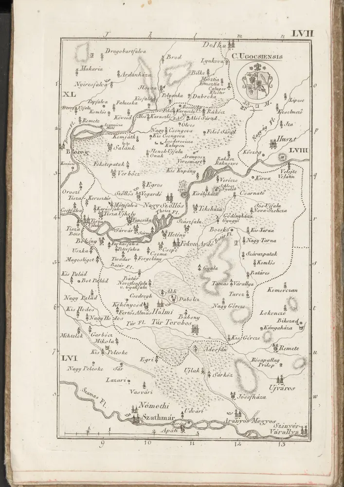
C. Ugocsiensis

Título completo:C. Ugocsiensis
Año de ilustración:1804
Fecha de publicación:1804
Tamaño físico:20 x 30 cm
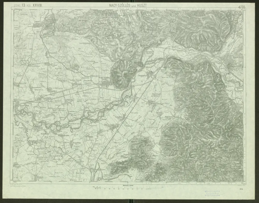
Nacy-Szőllős und Huszt
1910
Geripp: Feldw. Watterich. Terrain: J. Fitz
1:75k
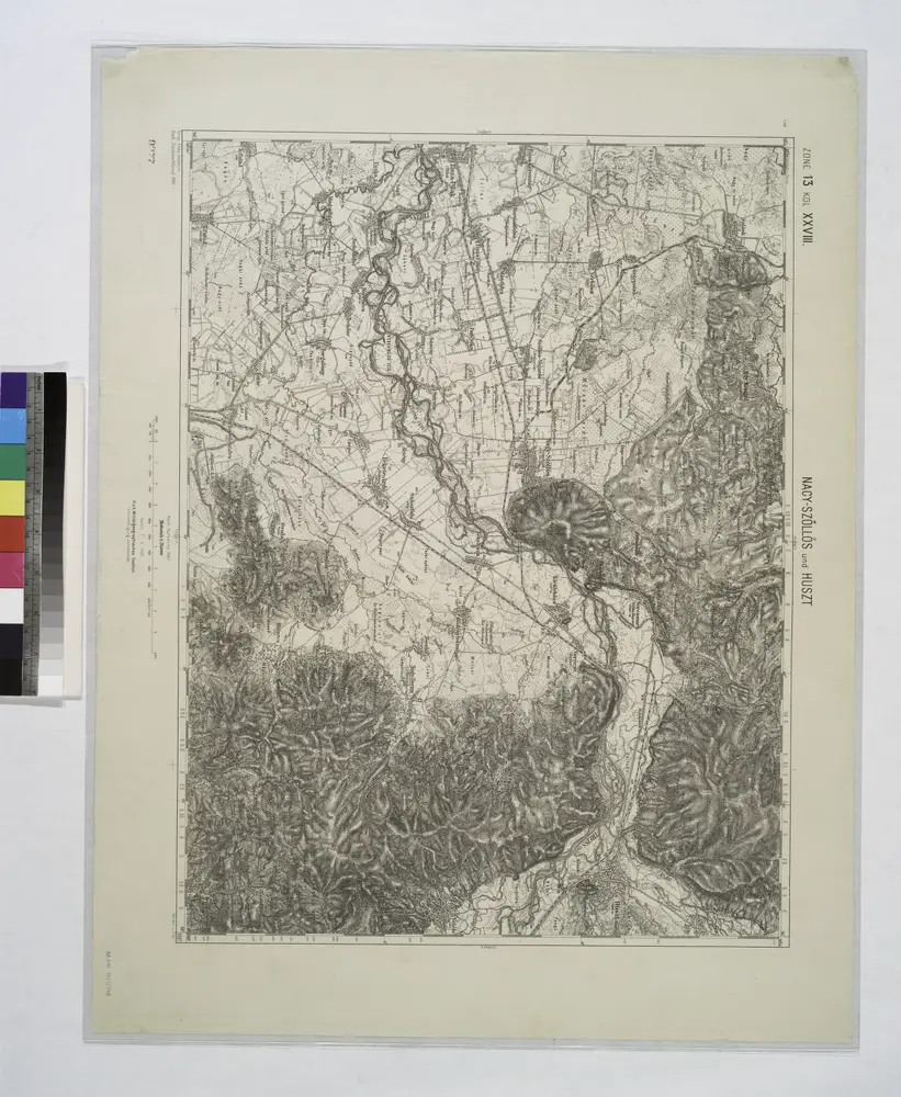
Nacy-Szollos und Huszt.
1914
Lambert-Cholesky sheet 2683 (Halmeu)
1936
Institutul Geografic Militar
1:20k
Lambert-Cholesky sheet 2784 (Tarna Mare)
1939
Institutul Geografic al Armatei
1:20k
C. Ugocsiensis
1804
n/a
1804
n/a
1804
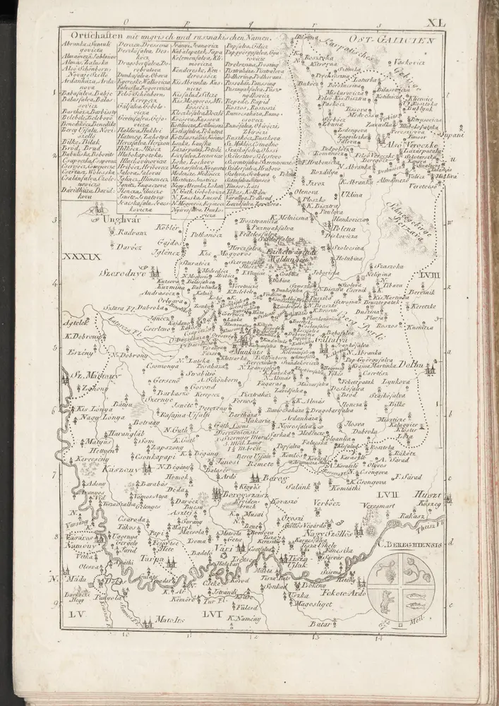
C. Bereghiensis
1804
n/a
1800
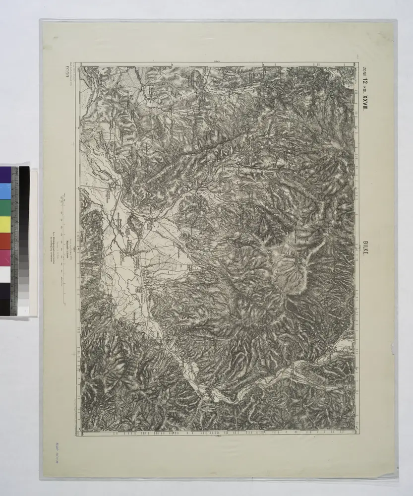
Bilke.
1914