Mappa catalogata
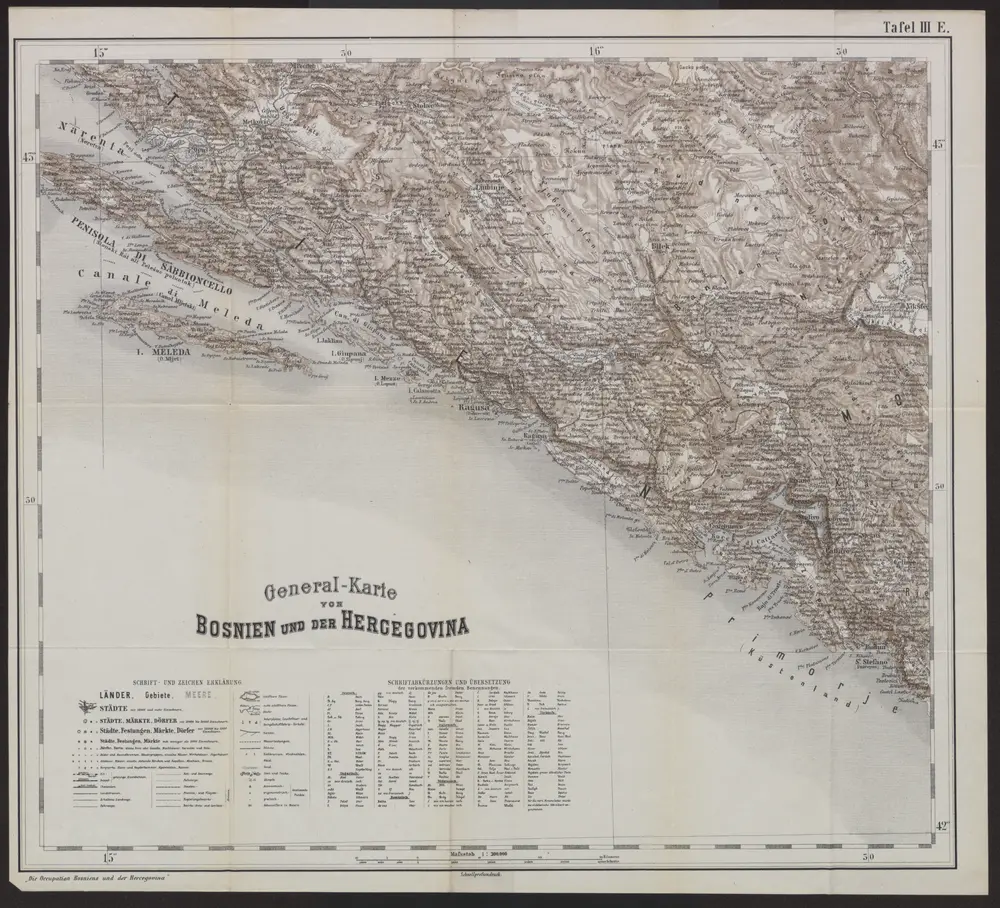
Generalkarte von Bosnien und der Hercegovina

Titolo completo:Generalkarte von Bosnien und der Hercegovina
Anno di illustrazione:1878
Data di pubblicazione:1879
Dimensione fisica:20 x 30 cm
Scala della mappa:1:300 000
Dalmatien
1901
Hydrographisches Amt der K. u. k. Kriegsmarine, Seekarten-Depot
1:80k
Generalkarte von Bosnien und der Hercegovina
1878
1:300k
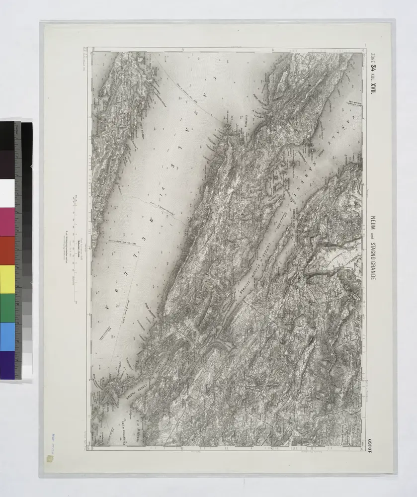
Neum und Stagno Grande.
1914
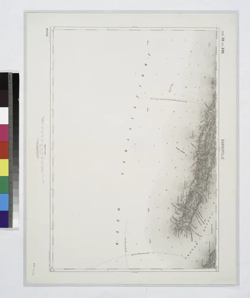
Babinopolje.
1914
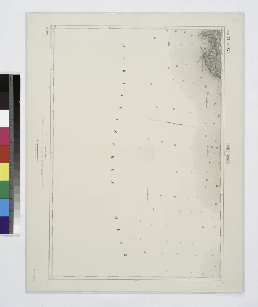
Porto Rosso.
1914
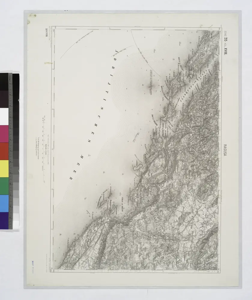
Ragusa.
1914
Adriatisches Meer, Küsten-Karte
1903
Oesterreicher, Tobias von
1:180k
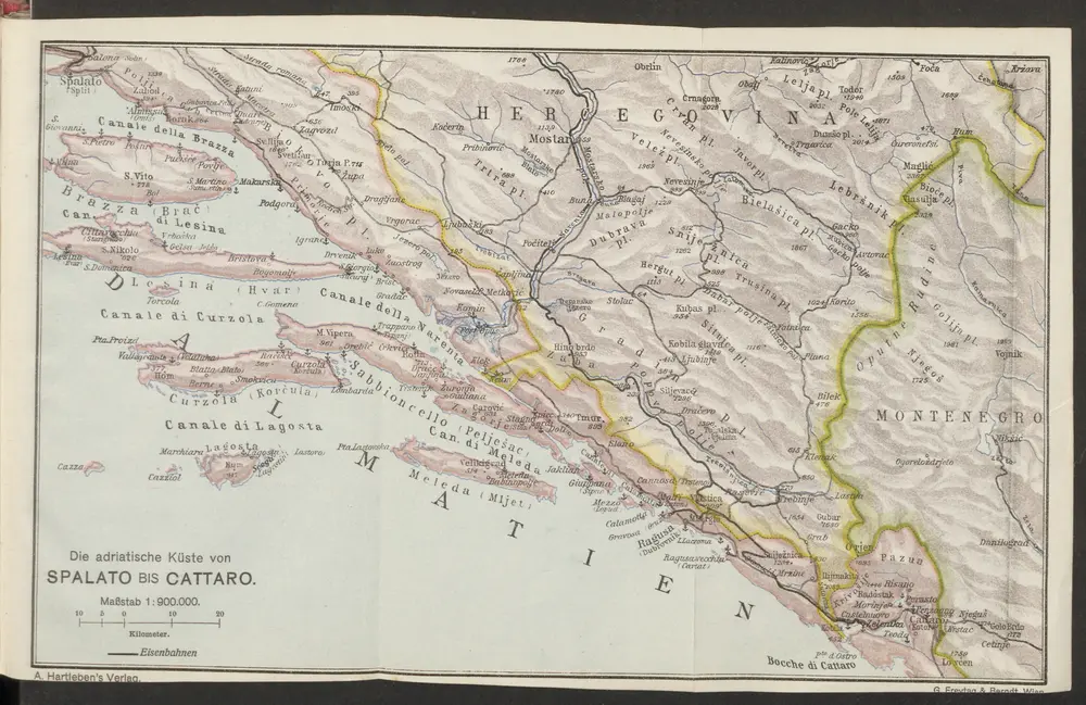
Die adriatische Küste von Spalato bis Cattaro
1913
1:900k
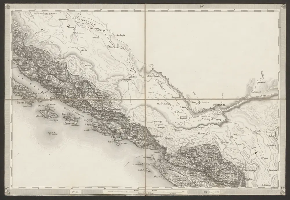
[Umgebung von Dubrovnik]
1869
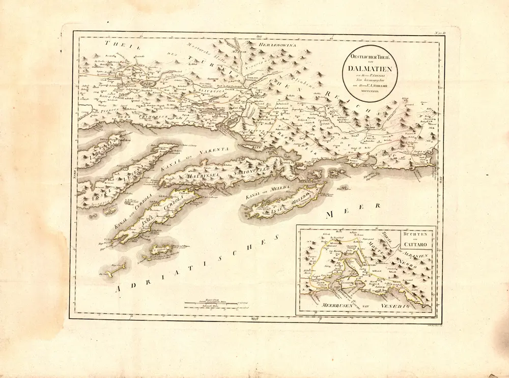
Oestlicher Theil von Dalmatien
1789
Santini, P.