Mapa catalogado
Harta Cailor de Comunicatie din Judetul Falciu

Título completo:Harta Cailor de Comunicatie din Judetul Falciu
Año de ilustración:1897
Fecha de publicación:1897
Tamaño físico:20 x 30 cm
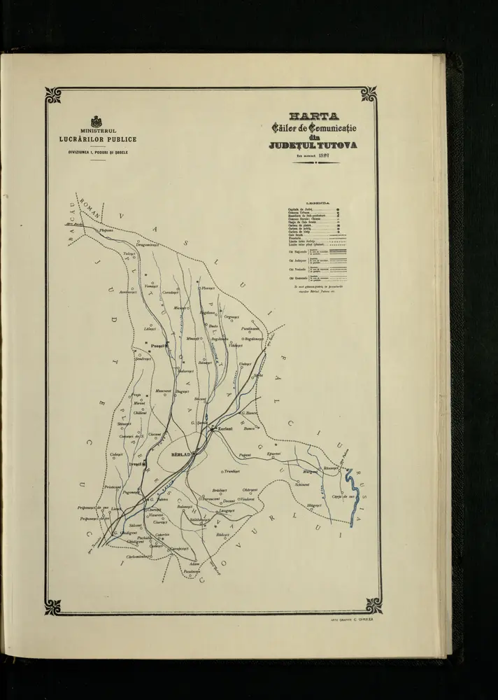
Harta Cailor de Comunicatie din Judetul Tutova
1897
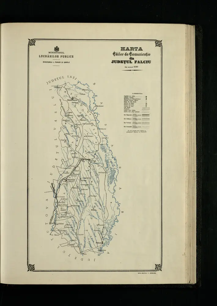
Harta Cailor de Comunicatie din Judetul Falciu
1897
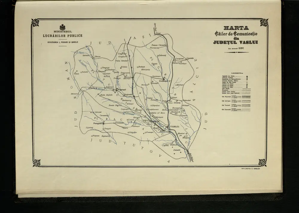
Harta Cailor de Comunicatie din Judetul Vaslui
1897
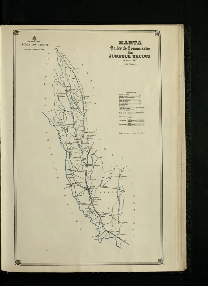
Harta Cailor de Comunicatie din Judetul Tecuci
1897
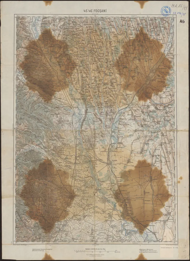
45°46° Focşanĭ / K.u.k. Militärgeographisches Institut
1915
K.u.k. Militärgeographisches Institut
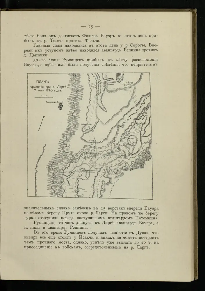
Plan sraženīja pri r. Largě 7 ījulja 1770 goda
1770
Lambert-Cholesky sheet 5271 (Podoleni de Sus)
1939
Serviciul Geografic al Armatei
1:20k
Lambert-Cholesky sheet 5270 (Drănceni)
1917
Serviciul Geografic al Armatei
1:20k
Lambert-Cholesky sheet 5269 (Huși)
1957
Direcția Topografică Militară
1:20k
Lambert-Cholesky sheet 5268 (Şchiopeni)
1955
Direcția Topografică Militară
1:20k