Cataloged map
Umgebung des Skutarier Sees und die Zadrimaer Niederungen

Full title:Umgebung des Skutarier Sees und die Zadrimaer Niederungen
Depicted:1914
Pubdate:1914
Physical Size:20 x 30 cm
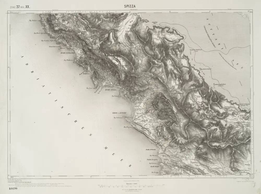
Spizza.
1914
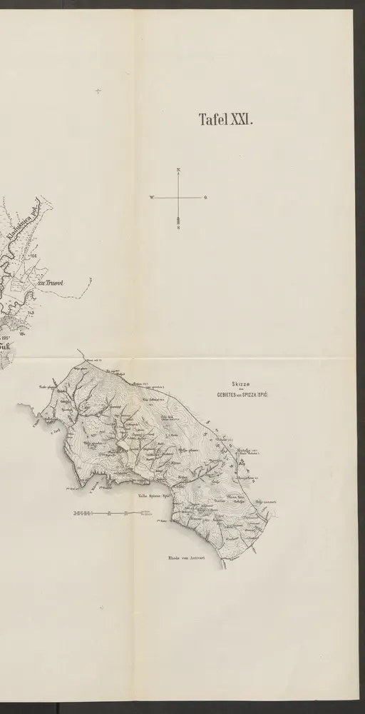
Skizze des Gebiets von Spizza (Spić)
1878
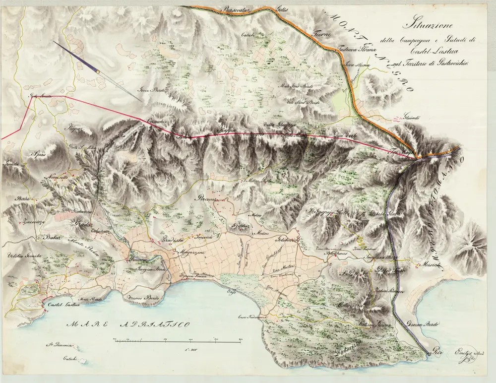
Situazione della Campagna e Paludi di Castel-Lastua nel Territorio di Pastrovichio
1834
Emilys
1:6k
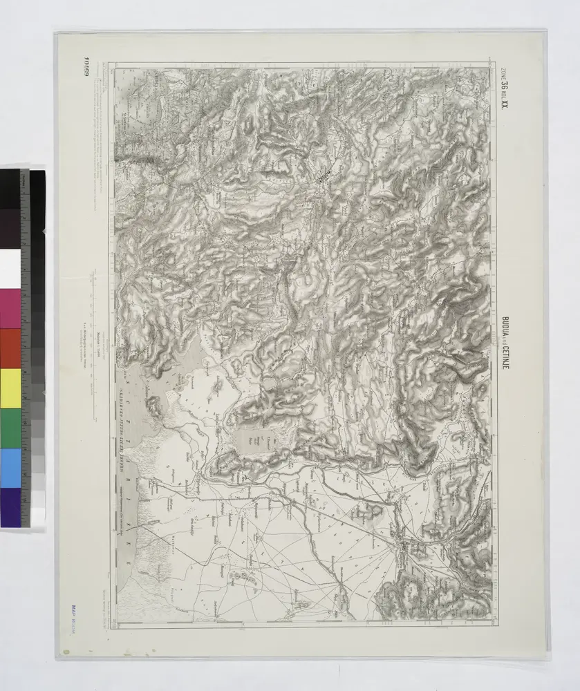
Budua und Cetinje.
1914
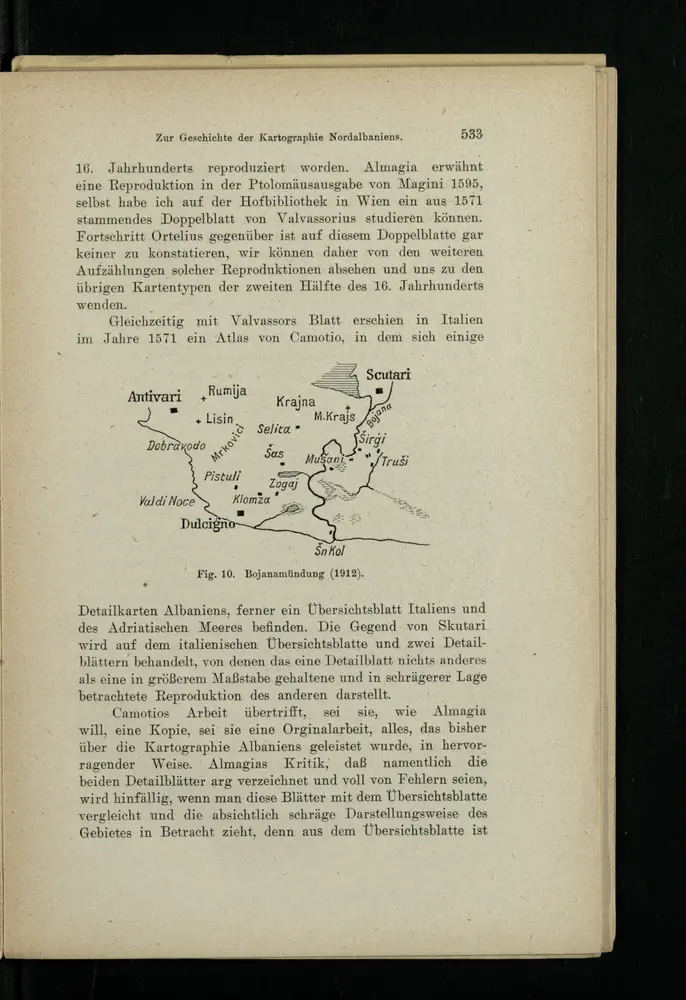
Bojanamündung
1916
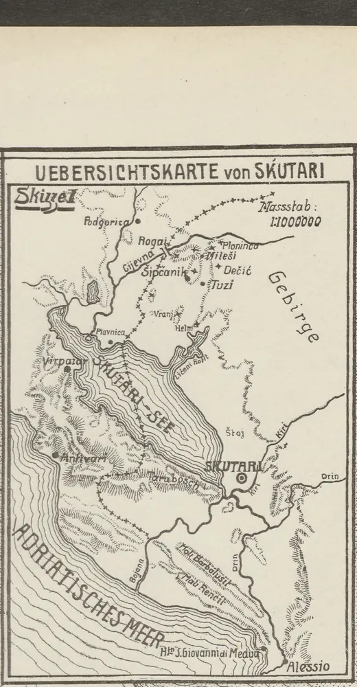
Übersichtskarte von Skutari
1913
1:1m
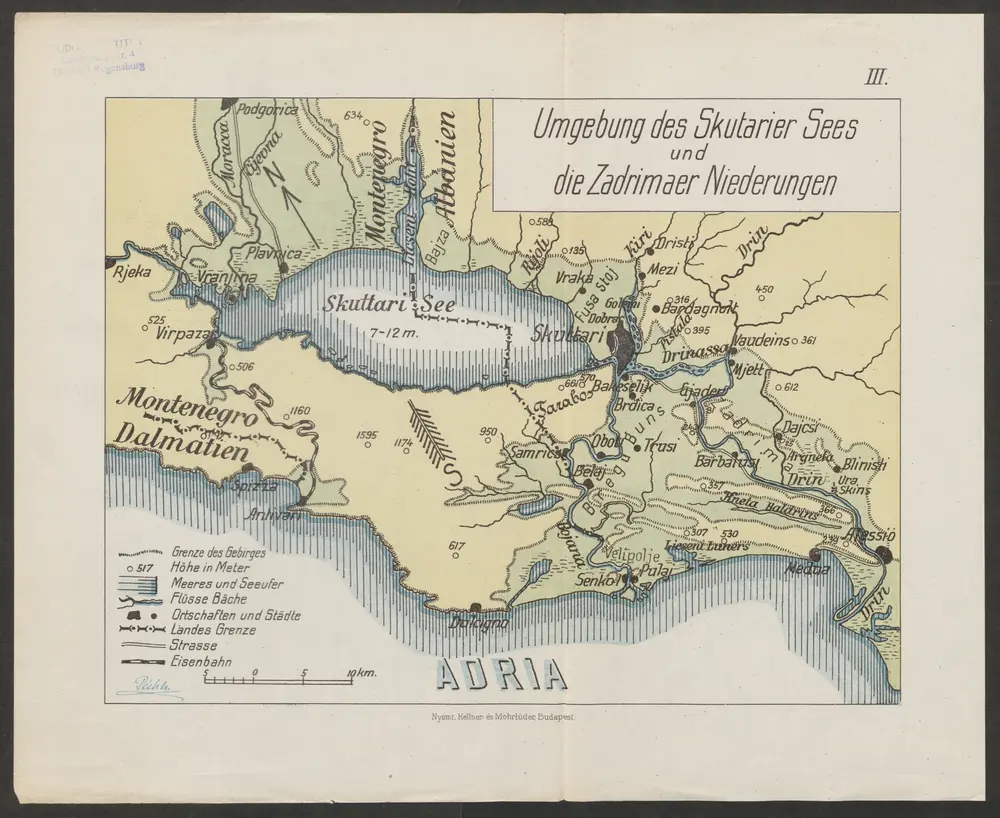
Umgebung des Skutarier Sees und die Zadrimaer Niederungen
1914
Péch, Béla
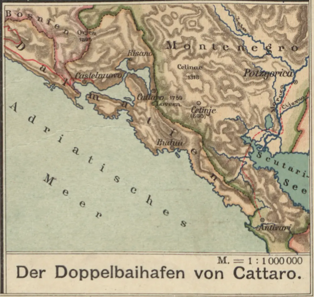
Der Doppelhafen von Cattaro
1913
1:100k
Okolí Kotoru
1865
Fáborský, Jan B.
1:140k

[Umgebung von Kotor]
1869