Maps of Siberia

Maps of Siberia

$title$

Ethnographische Karte des Asiatischen Russlands
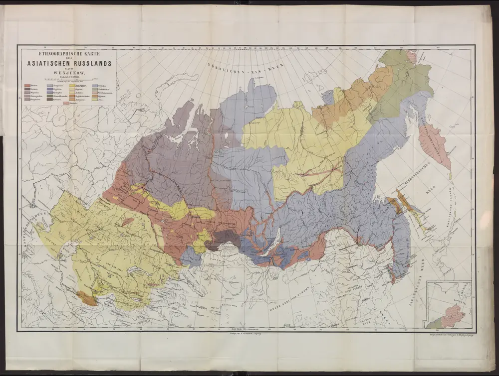
Russland Russland / Asiatischer Teil Ethnische Gruppe
$title$

Nova descriptio geographica Tattariae magnae tam orientalis quam occidentalis in particularibus et generalibus territoriis una cum delineatione totius imperii Russici imprimis Siberiae accurate ostensa

1 : 6730000 Asie Strahlenberg, Philipp Johann von Frisch, P. J.
$title$

Nova descriptio geographica Tattariae Magnae tam orientalis quam occidentalis in particularibus et generalibus teritoriis una cum delineatione totius imperii Russici imprimis Siberiae accurate ostensa

1 : 6730000 Asie Strahlenberg, Philip Johan von Frisch, P. J.
$title$

Paasche's Frontenkarte, Nr. 25 Russland, Italien, Balkan u. Orient

$title$

Tartaria sive Magni Chami imperivm

1 : 13000000 1 Karte : Kupferdruck ; 38 x 50 cm [Blaeu]
$title$

Tartaria sive Magni Chami imperiorum

1 : 14000000 1 Karte : Kupferdruck ; 25 x 33 cm Blaeu, Joan [Merian]
$title$

Tartaria sive Magni Chami imperiorum

1 : 14000000 1 Karte : Kupferdruck ; 25 x 33 cm Blaeu, Joan [Merian]
$title$

Russia in Asia and Tartary.

1 : 19500000 Mitchell, Samuel Augustus
$title$

Russia in Asia and Tartary.

1 : 19500000 Mitchell, Samuel Augustus
$title$

Tartaria sive Magni Chami Imperium. [Karte], in: Theatrum orbis terrarum, sive, Atlas novus, Bd. 2, S. 264.

1 Karte aus Atlas Blaeu, Joan Blaeu, Willem Janszoon
$title$

Standorte der höheren Kommandos in Asien

Russland Russland / Asiatischer Teil Militär
$title$

Russian Empire.

1 : 16500000 Bowen, Emanuel
$title$

Carte géographique contenant le royaume de Siberie

1 : 13000000 Asie střední Lotter, Matthäus Albrecht publiée par Tobie Conrad Lotter
$title$

Magnae Tartariae, Magni Mongolis Imperii, Iaponiae et Chinae / [Frederick de Wit]

1 : 13000000 1 Karte : Kupferdruck ; 42 x 53 cm Wit, Frederick de by Frederick de Wit Voor aen'inde Calverstraet by den Dam Witte Pascaart
$title$

Tabula Tartariae et majoris partis regni Chinae / edita a F. de Wit ; Lhuilier fecit

1 : 13000000 1 Karte : Kupferdruck ; 42 x 53 cm L'Huilier, Jan by Frederick de Wit voor aen inde Calverstraet by den Dam inde Witte Pascaart
$title$

Imperii Russici et Tatariae universae tam majoris et Asiaticae, qvam minoris et Europaeae tabvla

1 : 17200000 Asie Hase, Johann Matthias Schneider, R.A. impensis Homannianorum Heredum
$title$

IMPERII RUSSICI et TATARIAE UNIVERSAE tam majoris et Asiaticae, qvam minoris et Europaeae TABVLA

1 : 17200000 Asie Hase, Johann Matthias impensis Homannianorum Heredum
$title$

Imperii Russici et Tartariae universae tam majoris et Asiaticae, qvam minoris et Europaeae tabvla

1 : 16820000 Asie Hase, Johann Matthias Schneider, R. A. impensis Homannianorum Heredum
$title$

Atlas für Handel und Industrie: Für Kaufleute, Fabrikante u. Gewerbetreibende, Handlungs- u. Gewerbe-Schulen

$title$

Sovětský svaz v mapách

$title$

Map of the Siberian railway

Russland Sibirien Eisenbahnnetz Philip, George ; Philip, [Sohn v. G.]
$title$

Carte générale de l'Empire de Russie

1 : 12000000 dressée par J. B. Poirson rev. par Edme Mentelle ; gravée par P.F. Tardieu, Place de l'Estrapade no. 18 ; ecrit par Giraldon Paris : chez Tardieu [etc.]
$title$

Karte des Asiatischen Russland's und der angrenzenden Theile von Inner Asien

Zentralasien, Russland / Asiatischer Teil
$title$

Asia

Asie Schmidt, Eduard Berra, Marco
$title$

A generall mapp of the Kingdome of Tartaria / designed by Monsieur Sanson, Geographer to the French

1 : 16000000 1 Karte : Kupferdruck ; 25 x 38 cm Sanson, Guillaume [Richard Blome]
$title$

Generalis totius Imperii Russorum Novissima Tabula Magnam Orbis terrarum partem a Polo Arctico uso ad mare Iaponicum et Chinae Septentrionalis confinia/exhibens cum via Czaricae nuper Legationis ex urbe Moscua per universam Tartariam ad magnum Chinae Imperatorem ex conatibus Iohannis Baptistae Homanni

Russland, Sibirien Homann, Johann Baptist
$title$

$title$

Nord-& Mittel-Asien, Übersicht des Russischen Reiches

Handatlas über alle Theile der Erde und über das Weltgebäude Stieler, Adolf Justus Perthes
$title$

Asiatisches Russland

Grosser Hand-Atlas über alle Theile der Erde in 170 Karten Meyer, J. Verlag des Bibliographischen Instituts
$title$

Asia. (N sheets)

1 : 12000000 Lizars, Daniel
© MapTiler © OpenStreetMap contributors
How does it work?
These instructions will show you how to find historical maps online.
Getting started
Type the place name in the search box to find the exact location. You can further adjust the search by zooming in and out.
Zoom
Zoom in and out with the buttons or use your mouse or touchpad natively.
Exact Area tool
Click here and draw a rectangle over the map to precisely define the search area.
Set filters
Narrow your search with advanced settings, such as Years (from/to), Fulltext, Publisher, etc.
Results
See the results of your search on the right side. You can scroll down to find more maps of this location.
?

Download OldMapsOnline Mobile