Cataloged map
Törzburger Pasz : provisorisch


Full title:Törzburger Pasz : provisorisch
Physical Size:20 x 30 cm
Map scale:1:75 000
Lambert-Cholesky sheet 3752 (Mățău)
1929
Serviciul Geografic al Armatei
1:20k
Lambert-Cholesky sheet 3753 (Câmpulung)
1958
Direcția Topografică Militară
1:20k
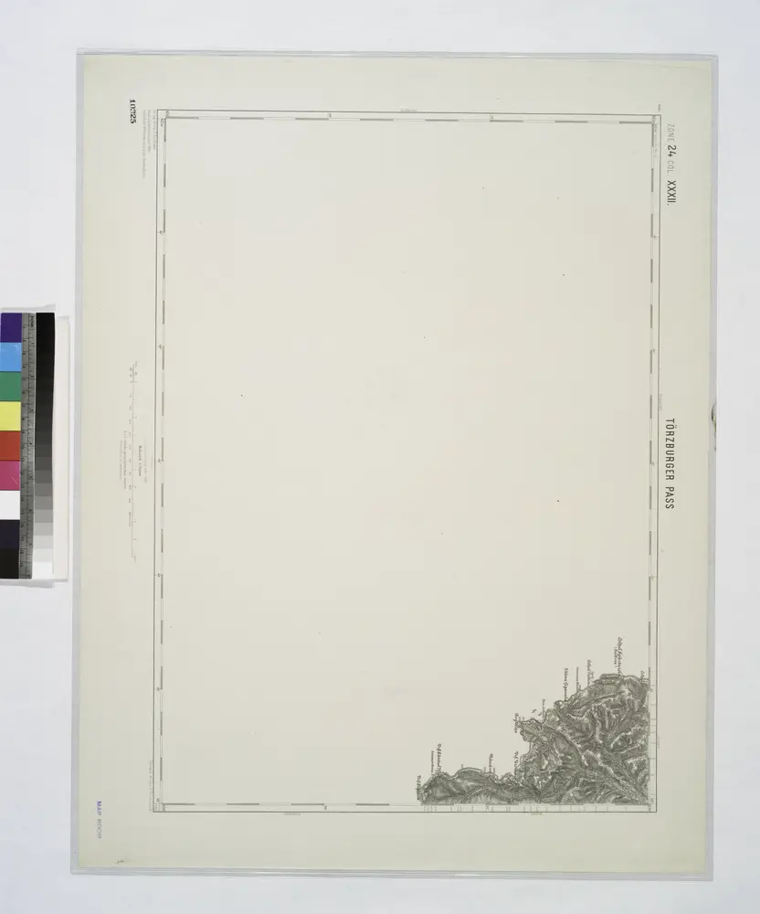
Torzburger Pass.
1914
Lambert-Cholesky sheet 3652 (Schitu - Golești)
1929
Serviciul Geografic al Armatei
1:20k
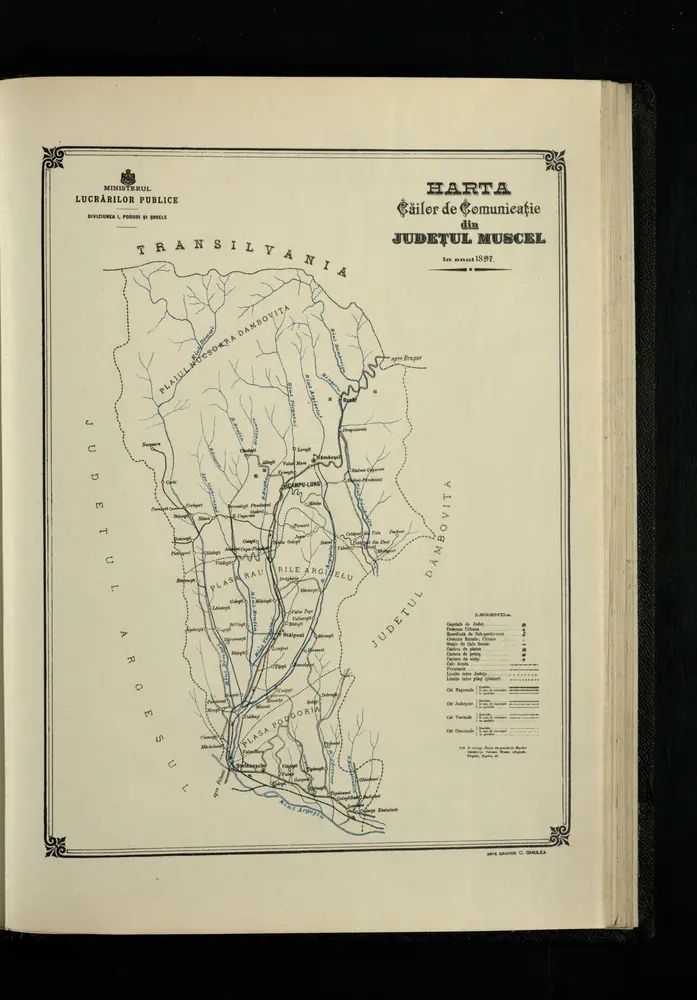
Harta Cailor de Comunicatie din Judetul Muscel
1897
Lambert-Cholesky sheet 3653 (Albești)
1955
Direcția Topografică Militară
1:20k
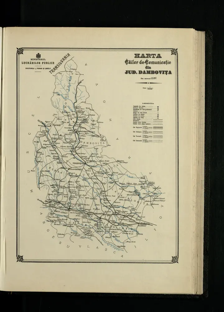
Harta Cailor de Comunicatie din Jud. Dambovita
1897
1:200k
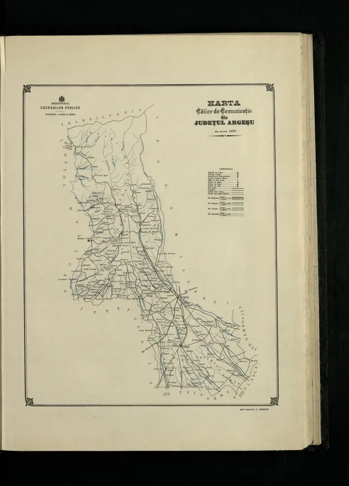
Harta Cailor de Comunicatie din Judetul Argesu
1897
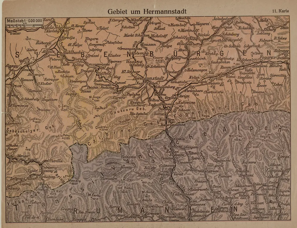
Gebiet um Hermannstadt
1916
1:600k
Carte de la Roumanie et pays limitrophes. Bukarest
1912
France. Service géographique de l'armée
1:500k