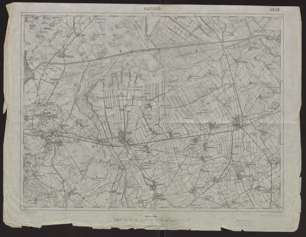
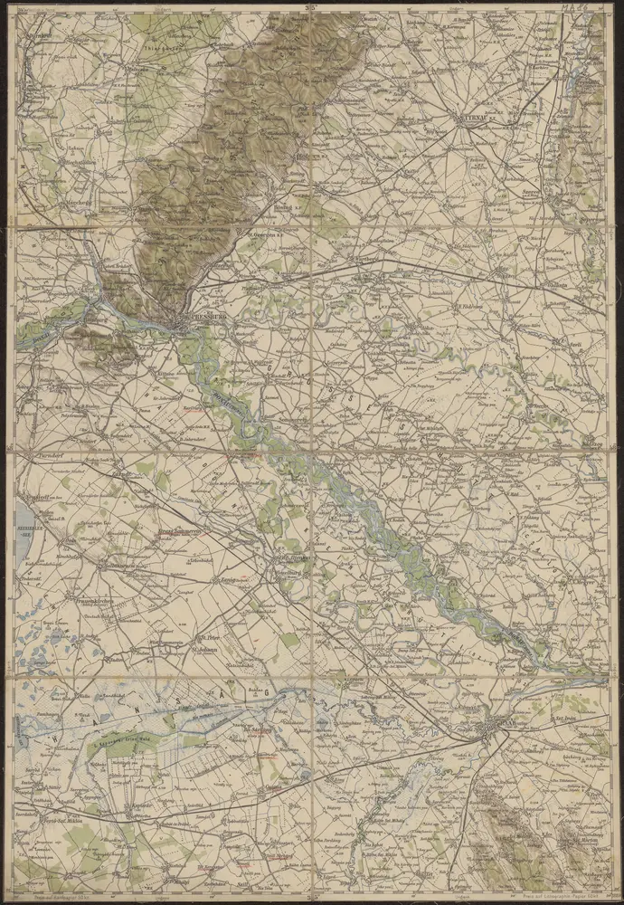
1917
Geripp: Assistent Jersche. Terrain: Oberlt. Sachs
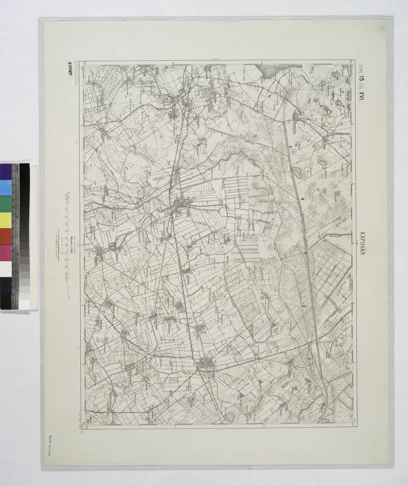
1:75k
1914
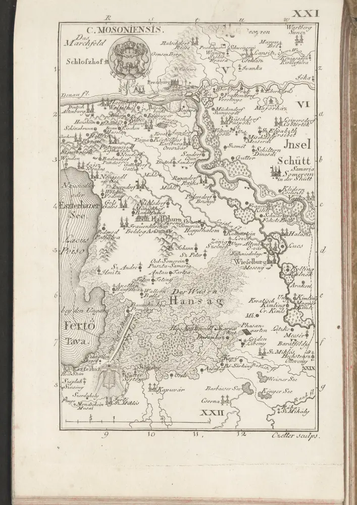
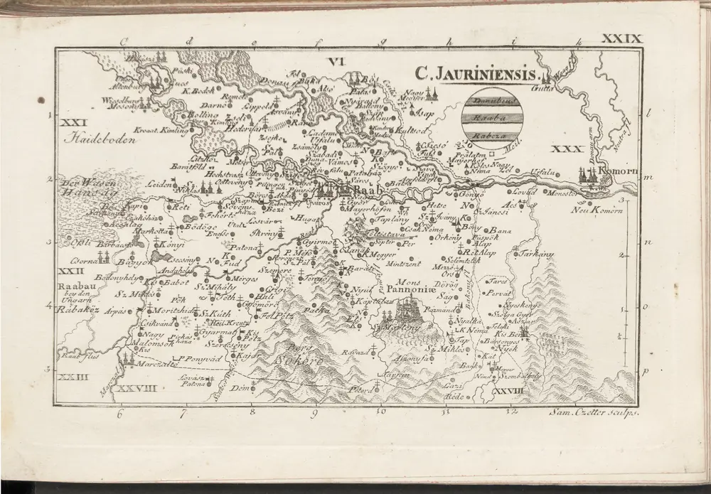
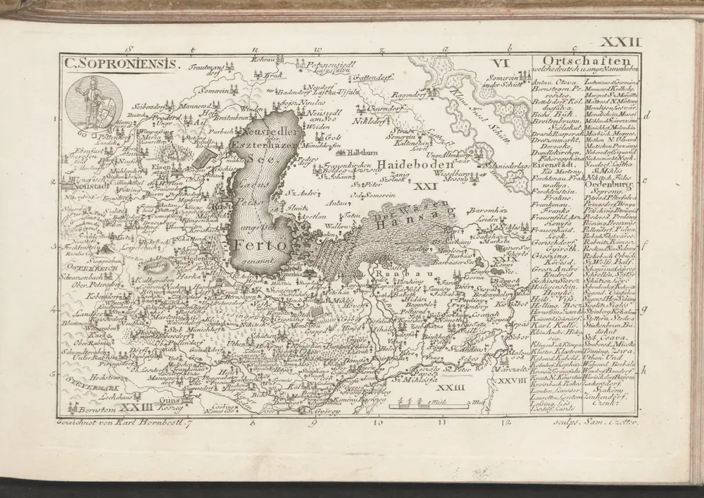
1804
1870
1:280k
1889
K.u.k. Militärgeographisches Institut