Cataloged map
Pásztó und Apcz

Full title:Pásztó und Apcz
Depicted:1911
Pubdate:1911
Physical Size:20 x 30 cm
Map scale:1:75 000
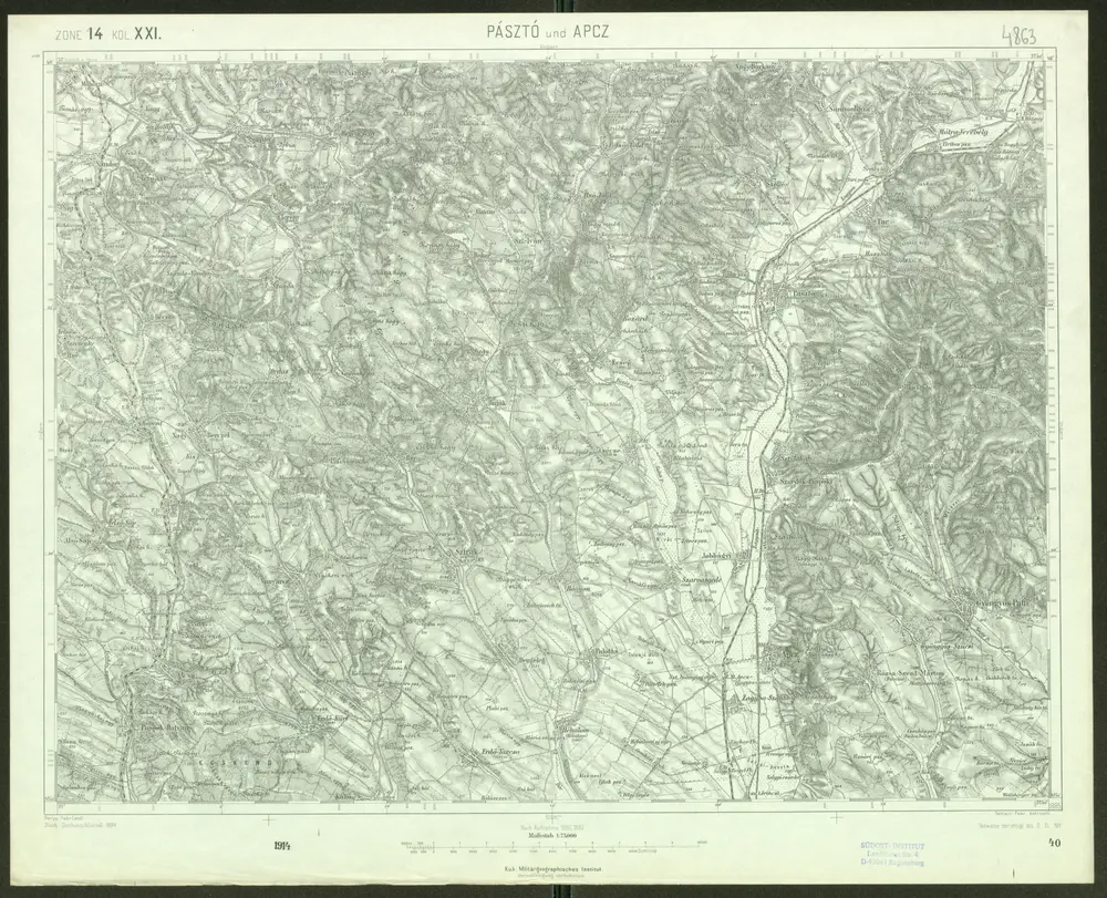
Pásztó und Apcz
1911
Geripp: Fwkr. Lendl. Terrain: Fwkr. Kotrtsch
1:75k

Paszto und Apcz (Ungarn).
1914
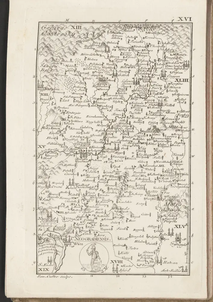
C. Neogradiensis
1804
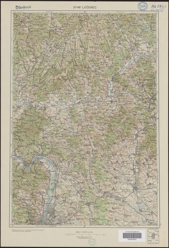
37°48° Lučenec
1946
Vojenský zeměpisný ústav
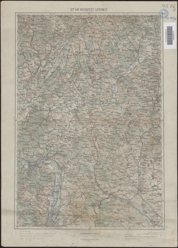
37°48° Budapest, Losoncz
1914
K.u.k. Militärgeographisches Institut
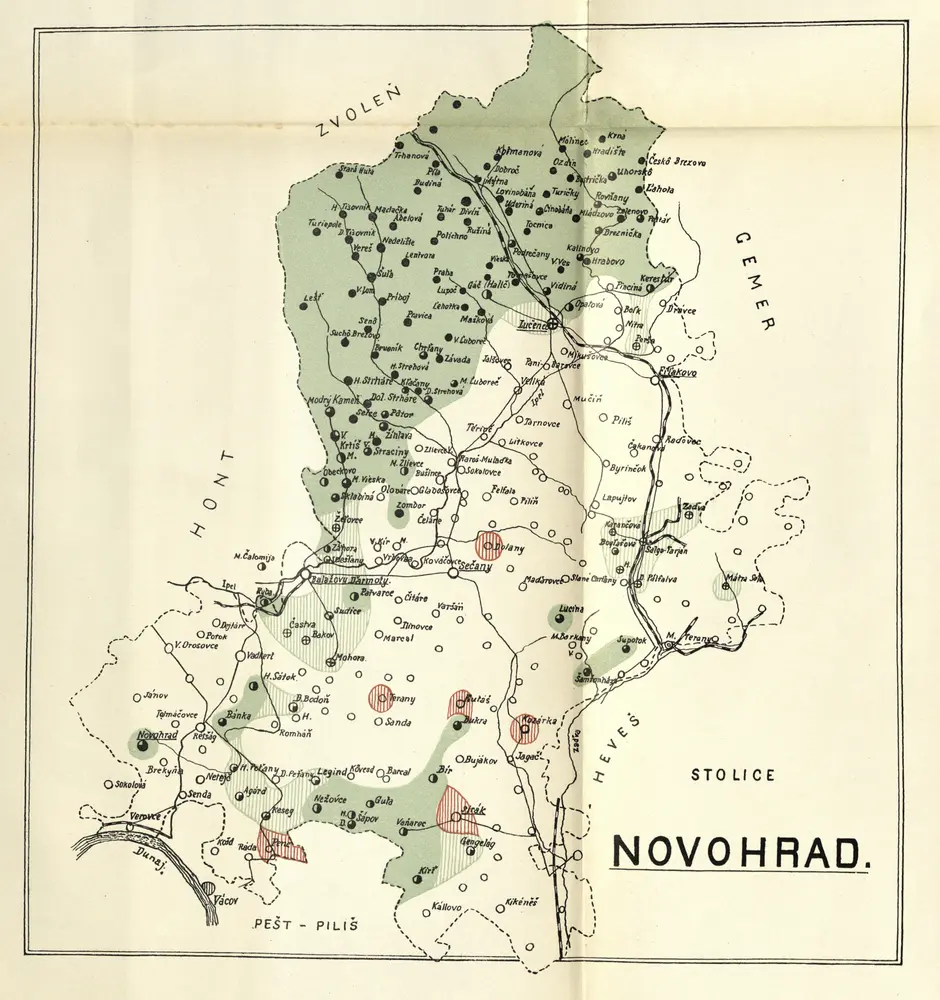
Stolice Novohrad
1900

Národopisná mapa uherských Slováků na základě sčítání lidu z roku 1900=: Etnografičeskaja karta vengerskich' Slovakov' sostavlena na osnovaniji perepisi 1900 gEtnografičeskaja karta vengerskich' Slovakov' sostavlena na osnovaniji perepisi 1900 g, mapa ze strany: [213]
1903
Národopisná společnost čsl.Česká akademie pro vědy, slovesnost a umění
n/a
1804
n/a
1804
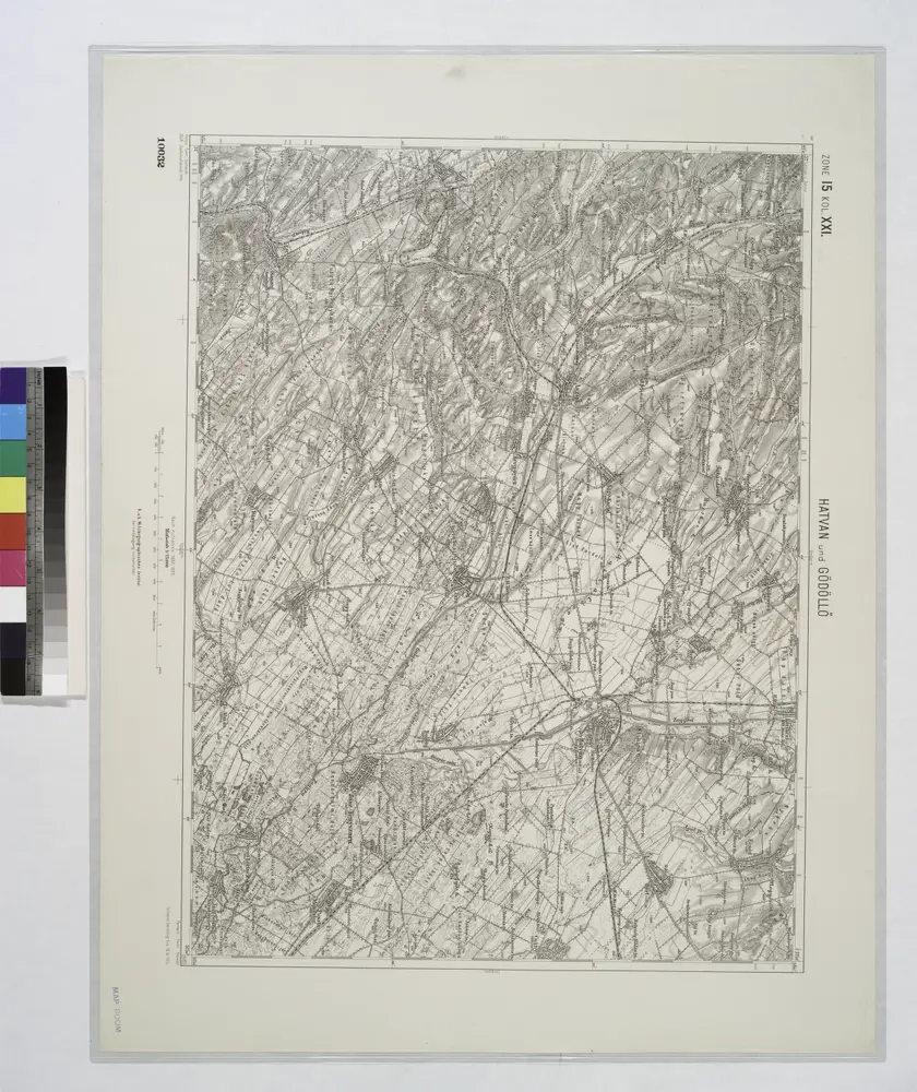
Hatvan und Godollo.; Spezialkarte der osterreichisch-ungarischen Monarchie.
1912