Maps of Wexford

Maps of Wexford

$title$

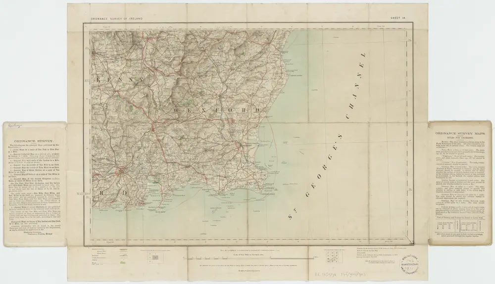
Sheet 14, 1904, uit: Ireland

1 : 253440 Annotatie: Voor aanwezige bladen zie overzichtsblad; Alle bladen met aantekeningen in kleurpotlood of inkt; Annotatie geografische gegevens: Maps on the scale of four miles to one inch; Op elk blad een diagram van aangrenzende bladen en een indexdiagram van de corresponderende bladen van de 'one inch map' Dublin : Ordnance Survey of Ireland
$title$

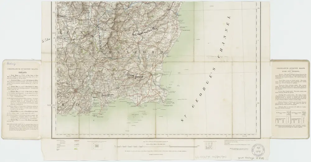
Sheet 14, 1911, uit: Ireland

1 : 253440 Annotatie: Voor aanwezige bladen zie overzichtsblad; Alle bladen met aantekeningen in kleurpotlood of inkt; Annotatie geografische gegevens: Maps on the scale of four miles to one inch; Op elk blad een diagram van aangrenzende bladen en een indexdiagram van de corresponderende bladen van de 'one inch map' Dublin : Ordnance Survey of Ireland
$title$

De Zuijdoost hoek van Irlandt vertonende de riv. van Waterfort en I. de Saltes int groot

Ireland Gerard van Keulen
$title$

Baronia Udrone in comitatu Catherlovghæ

1 Karte : Kupferdruck ; 38 x 25 cm Blaeu Joan Blaeu
$title$

Vdrone, Irlandiæ in Catherlagh baronia

1 Karte : Kupferdruck ; 33 x 26 cm Mercator; Hondius Henricus Hondius
$title$

Udrone Irlandiae in Catherlagh baronia

1 Karte : Kupferdruck ; 17 x 24 cm Mercator; Keere Cloppenburgh
$title$

Vdrone, Irlandiæ in Catherlagh baronia

1 Karte : Kupferdruck ; 33 x 27 cm Mercator; Hondius Jodocus Hondius
$title$

Udrone Irlandiae in Catherlagh Baronia. [Karte], in: Gerardi Mercatoris Atlas, sive, Cosmographicae meditationes de fabrica mundi et fabricati figura, S. 88.

1 Karte aus Atlas Mercator, Gerhard Montanus, Petrus
$title$

Udrone, Irlandiae in Catherlagh Baronia. [Karte], in: Atlas, sive, Cosmographicae meditationes de fabrica mundi et fabricati figura, S. 104.

1 Karte aus Atlas Mercator, Gerhard
$title$

Waterford

2 Pläne auf einem Blatt : Kupferdruck ; Bildgrösse 18 x 11 cm Le Rouge Georges Louis Le Rouge
$title$

BARONIA | UDRONE | IN COMITATU | CATHERSOUGHÆ

[Amsterdam : Joan Blaeu]
$title$

$title$

Een gedeelte van de Oost kust van IJrlandt van Wexfort tot t eijlandt Dalkij

Ireland Gerard van Keulen
$title$

Lagenia; anglis Leinster

1 Karte : Kupferdruck ; 38 x 48 cm Blaeu Joan Blaeu
$title$

Comitatus Lageniae The Countie of Leinster. [Karte], in: Novus atlas absolutissimus, Bd. 8, S. 195.

1 Karte aus Atlas Janssonius Offizin
$title$

Comitatus Lageniae The Countie of Leinster. [Karte], in: Gerardi Mercatoris et I. Hondii Newer Atlas, oder, Grosses Weltbuch, Bd. 1, S. 57.

1 Karte aus Atlas Mercator, Gerhard und Hondius, Jodocus Jansson, Jan
$title$

Ireland SE.

1 : 486830 Stanford, Edward
$title$

Ireland 4.

1 : 760320 Letts, Son & Co.
$title$

LAGENIA; | Anglis | LEINSTER.

[Amsterdam : Joan Blaeu]
$title$

Comitatus Lageniae = The countie of Leinster

1 : 1200000 Amstelodami : apud Joannem Janssonium
$title$

Ireland (south sheet)

1 : 785000 Society for the Diffusion of Useful Knowledge (Great Britain)
$title$

Parte del regno d'Irlandia, cioè le provincie d'Ulster, e Leinster

1 Karte : Kupferdruck ; 40 x 30 cm Zatta; Zuliani; Pitteri presso Antonio Zatta
$title$

Irlandiae Regnum. [Karte], in: Gerardi Mercatoris Atlas, sive, Cosmographicae meditationes de fabrica mundi et fabricati figura, S. 97.

1 Karte aus Atlas Mercator, Gerhard Montanus, Petrus
$title$

Irlandiae Regnum. [Karte], in: Atlas, sive, Cosmographicae meditationes de fabrica mundi et fabricati figura, S. 98.

1 Karte aus Atlas Mercator, Gerhard
$title$

Des Königreichs Ireland Provinz Mounster mit dem sudlichen Theile der Provinzen Leinster und Con[n]aught

1 Karte : Kupferdruck ; 20 x 26 cm Reilly F. J. J. von Reilly
$title$

Partie meridio.le du royaume d'Irlande

1 Karte : Kupferdruck ; 38 x 47 cm Sanson; Boazio; Speed; Fortin chez Fortin ing.r mecanicien du roi pour les globes rue de la Harpe pres celle du Foin
$title$

Partie meridio.le du royaume d'Irlande

1 Karte : Kupferdruck ; 38 x 47 cm Sanson; Boazio; Speed chez l'autheur
$title$

Irlandiæ regnvm

1 Karte : Kupferdruck ; 17 x 24 cm Mercator Cloppenburgh
$title$

Irlandiae regnvm

1 Karte : Kupferdruck ; 32 x 45 cm Mercator; Hondius Henricus Hondius
$title$

Irlandiae regnvm

1 Karte : Kupferdruck ; 32 x 45 cm Mercator; Hondius Jodocus Hondius
© MapTiler © OpenStreetMap contributors
How does it work?
These instructions will show you how to find historical maps online.
Getting started
Type the place name in the search box to find the exact location. You can further adjust the search by zooming in and out.
Zoom
Zoom in and out with the buttons or use your mouse or touchpad natively.
Exact Area tool
Click here and draw a rectangle over the map to precisely define the search area.
Set filters
Narrow your search with advanced settings, such as Years (from/to), Fulltext, Publisher, etc.
Results
See the results of your search on the right side. You can scroll down to find more maps of this location.
?

Download OldMapsOnline Mobile