Cataloged map
[Kaart], uit: [Kaart van Zuid-Israel]

Full title:[Kaart], uit: [Kaart van Zuid-Israel]
Depicted:1950
Publisher:[S.l. : s.n]
Physical Size:20 x 30 cm
Map scale:1:250 000
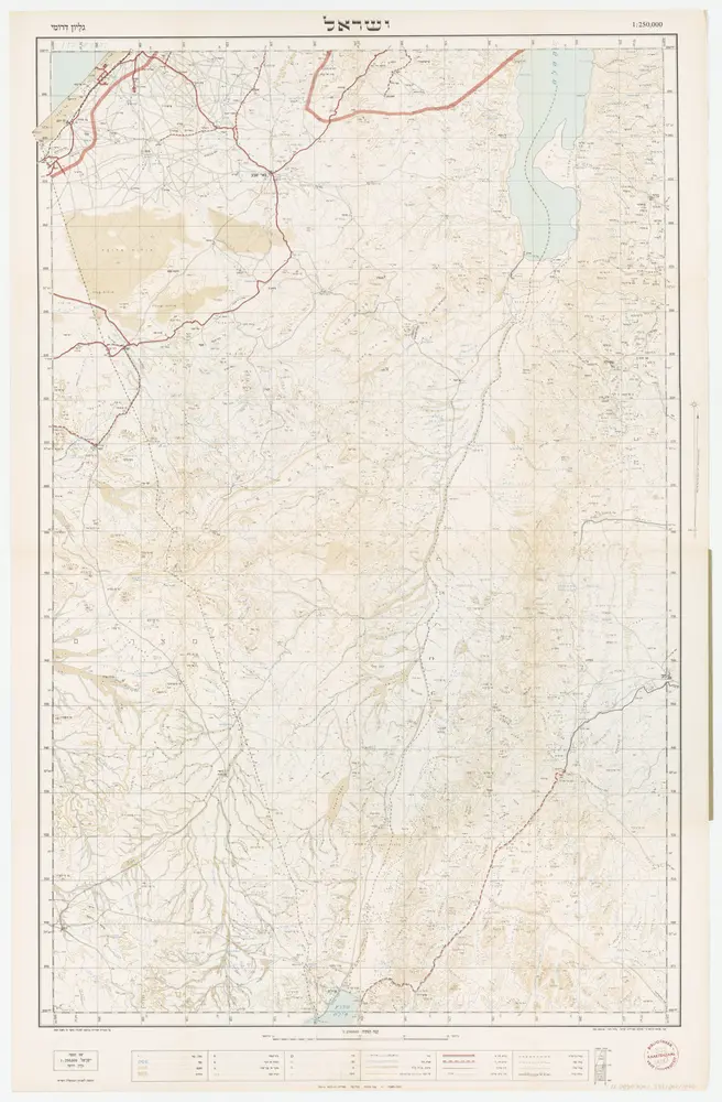
[Kaart], uit: [Kaart van Zuid-Israel]
1950
[S.l. : s.n]
1:250k
Palestine or Canaan
1853
1:1
Palestina čili Kanaan
1872
Fried, Franz

V roklích Edomských, mapa ze strany: [428]
1932
Musil, Alois
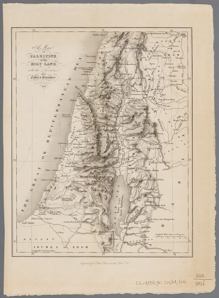
A map of Palestine or the Holy Land : with the division into tribes and provinces / by A.H. Dufour
1836
Dufour, Auguste Henri
1:1m

Atlas minor, mapa ze strany: 611
1610
Mercator Gerhard

Atlas portatilis, oder Compendieuse Vorstellung Der gantzen Welt, in einer kleinen Cosmographie, Der grünenden Jugend zum Besten in XXX. saubern Land-Charten, mit Einer kurtzen Erläterung Zum andernmal heraus gegeben [von Johann Christoph Weigel], mapa ze strany: mapa_29
1724
Gregorii Johann Gottfried
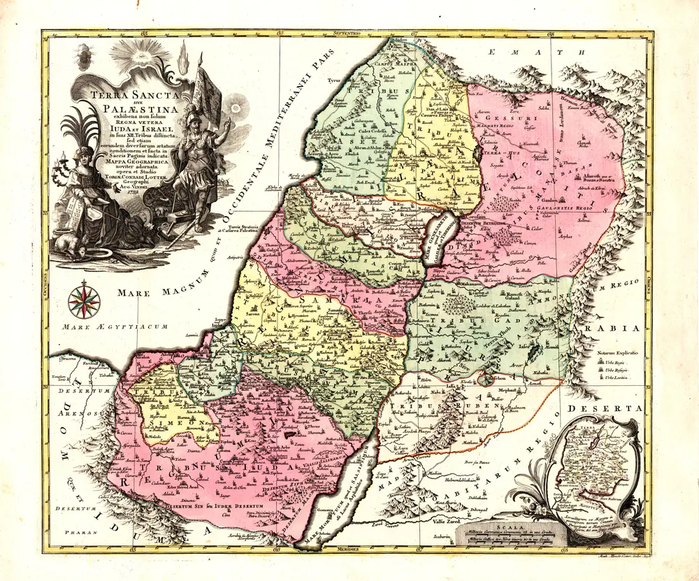
Terra sancta, sive, Palaestina
1759
Lotter, Tobias Conrad
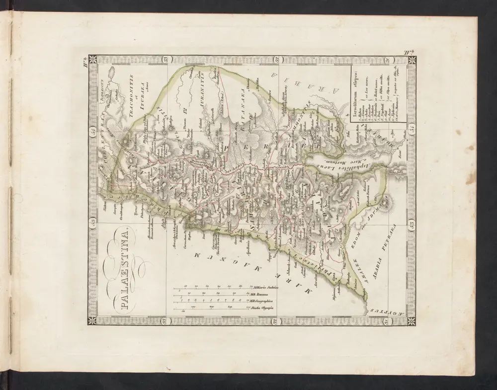
Palaestina
1838
bei Justus Perthes
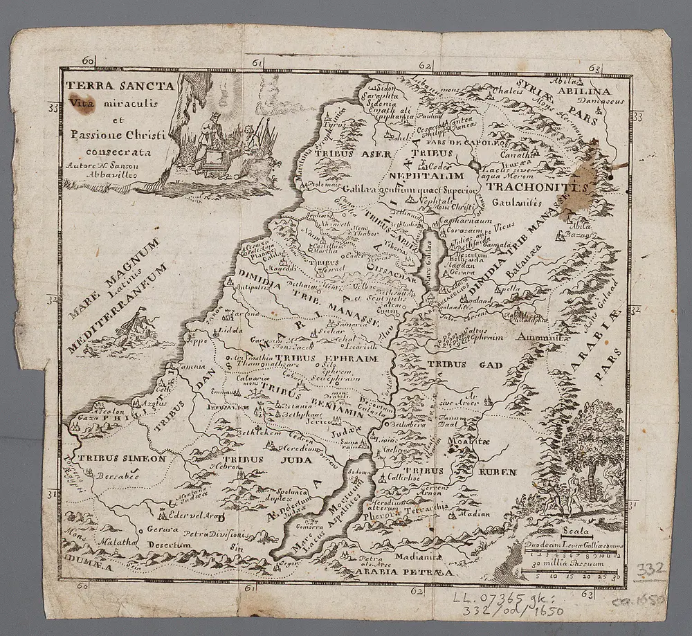
Terra Sancta : vita miraculis et passione Christi consecrata / autore N. Sanson Abbavilleo
1650
Sanson, Nicolas
1:3m