Mappa catalogata
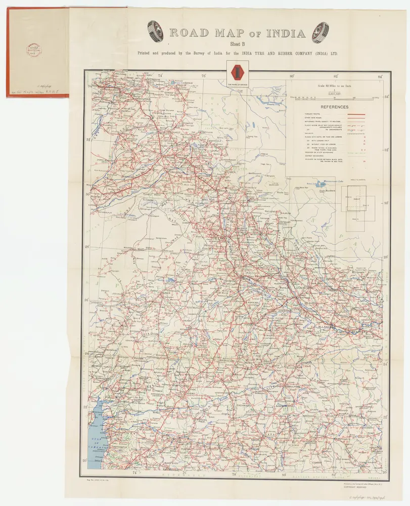
Sheet B [Central & North India], uit: Road map of India

Titolo completo:Sheet B [Central & North India], uit: Road map of India
Anno di illustrazione:1946
Editore:[S.l. : India Tyre & Rubber Company]
Dimensione fisica:20 x 30 cm
Scala della mappa:1:2 027 520
Sheet B [Central & North India], uit: Road map of India
1946
[S.l. : India Tyre & Rubber Company]
1:2m
Central division of Hindoostan
1816
Cary, John, ca. 1754-1835
1:7m
Gangetic Hindoostan or the countries occupied by the Ganges and the branches
1816
Cary, John, ca. 1754-1835
1:7m
Kaart van Noordoost India
1786
William Faden
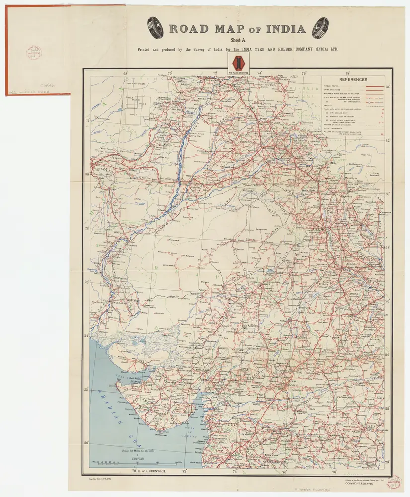
Sheet A [North West India], uit: Road map of India
1946
[S.l. : India Tyre & Rubber Company]
1:2m
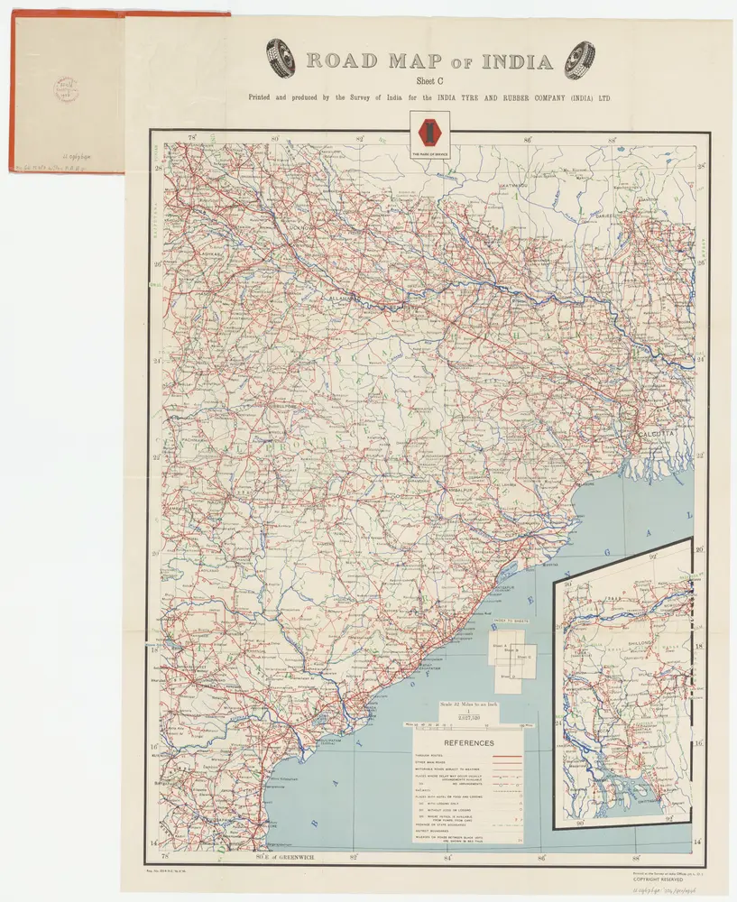
Sheet C [North East India], uit: Road map of India
1946
[S.l. : India Tyre & Rubber Company]
1:2m
Sindetic Hindoostan or the countries occupied by the Sinde or Indus and its branches
1816
Cary, John, ca. 1754-1835
1:7m
General Karte von VORDERINDIEN
1836
Berghaus, Heinrich Karl Wilhelm
1:4m
Charte von Ost Indien
1785
Sotzmann, Daniel Friedrich
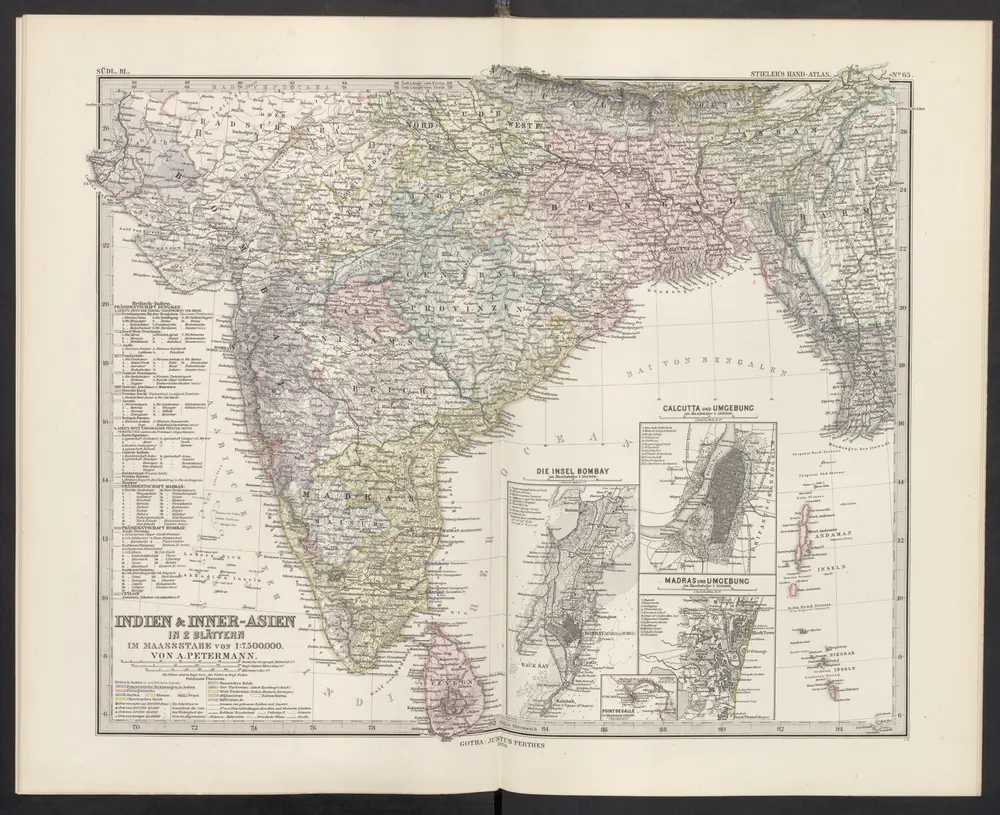
[Indien & Inner-Asien, Südliches Blatt]
1876
Stieler, Adolf