Cataloged map
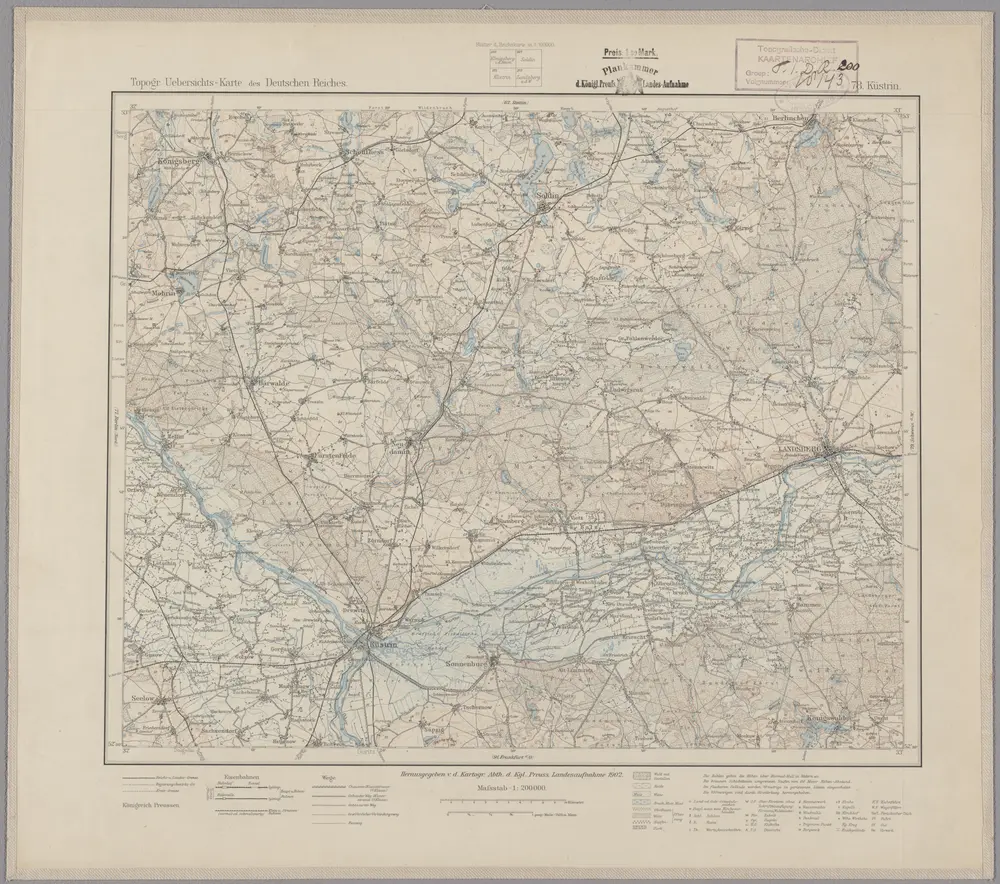
78. Küstrin, uit: Topographische Uebersichtskarte des Deutschen Reiches / herausgegeben v. d. Kartogr. Abt. d. Königl. Preuß. Landesaufnahme

Full title:78. Küstrin, uit: Topographische Uebersichtskarte des Deutschen Reiches / herausgegeben v. d. Kartogr. Abt. d. Königl. Preuß. Landesaufnahme
Depicted:1899
Publisher:[S.l : Königlich Preußische Landesaufnahme, Kartographische Abtheilung]
Physical Size:20 x 30 cm
Map scale:1:200 000
78. Küstrin, uit: Topographische Uebersichtskarte des Deutschen Reiches / herausgegeben v. d. Kartogr. Abt. d. Königl. Preuß. Landesaufnahme
1899
Königlich Preußische Landesaufnahme. Kartographische Abtheilung
1:200k
n/a
1791
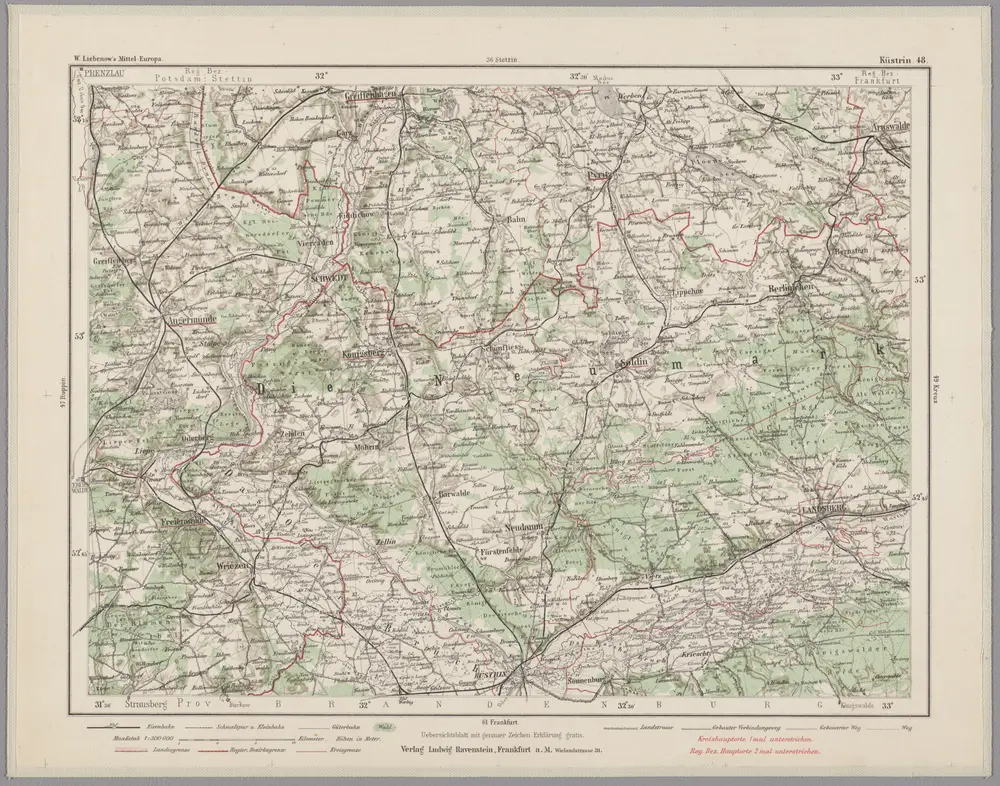
Küstrin 48, uit: Special-Karte von Mittel-Europa / nach amtlichen Quellen bearbeitet von W. Liebenow
1899
Johannes Wilhelm Liebenow 1822-1897
1:300k
Meßtischblatt 1704 : Landsberg an der Warthe, 1934
1934
1:250k
Meßtischblatt 1703 : Hohenwalde, 1934
1934
1:250k
Meßtischblatt 3255 : Massin, 1936
1936
1:250k
Meßtischblatt 1702 : Massin, 1913
1913
1:250k
Meßtischblatt 3254 : Neudamm, 1936
1936
1:250k
Meßtischblatt 1701 : Neudamm, 1913
1913
1:250k
Meßtischblatt 1701 : Neudamm, 1893
1893
1:250k