Mapa catalogado
Komorn 148, uit: Special-Karte von Mittel-Europa / nach amtlichen Quellen bearbeitet von W. Liebenow

Título completo:Komorn 148, uit: Special-Karte von Mittel-Europa / nach amtlichen Quellen bearbeitet von W. Liebenow
Año de ilustración:1899
Editorial:Frankfurt a. M. : Ludwig Ravenstein
Tamaño físico:20 x 30 cm
Escala del mapa:1:300 000
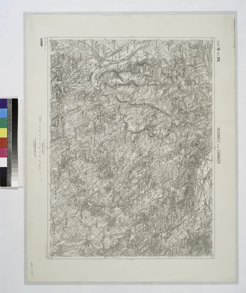
Neszmely und Zsambek.
1914
n/a
1804
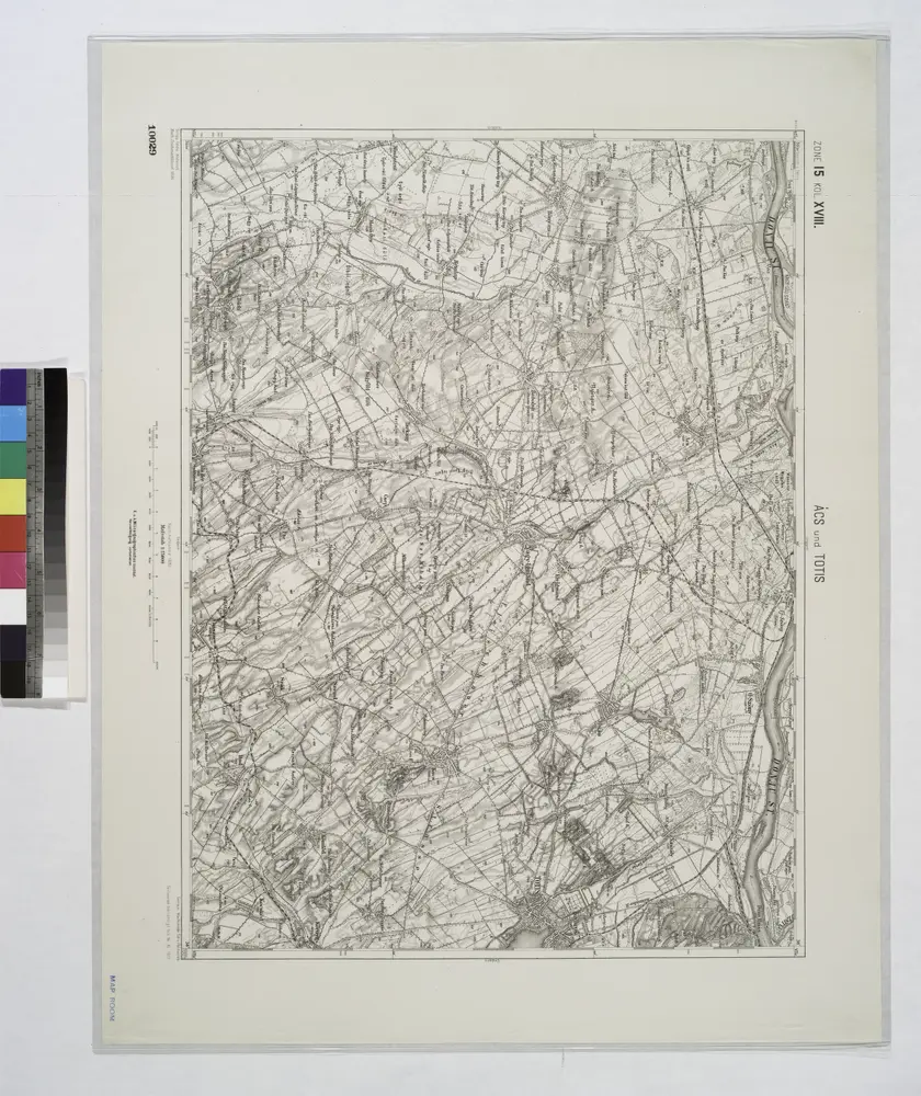
Acs und Totis.
1914
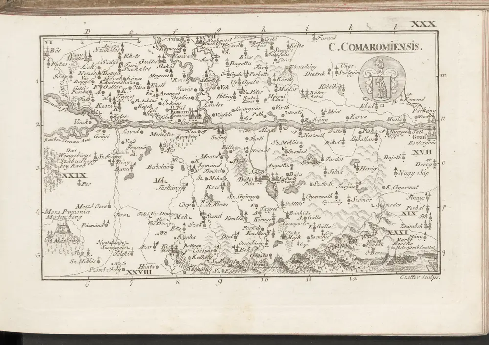
C. Comaromiensis
1804
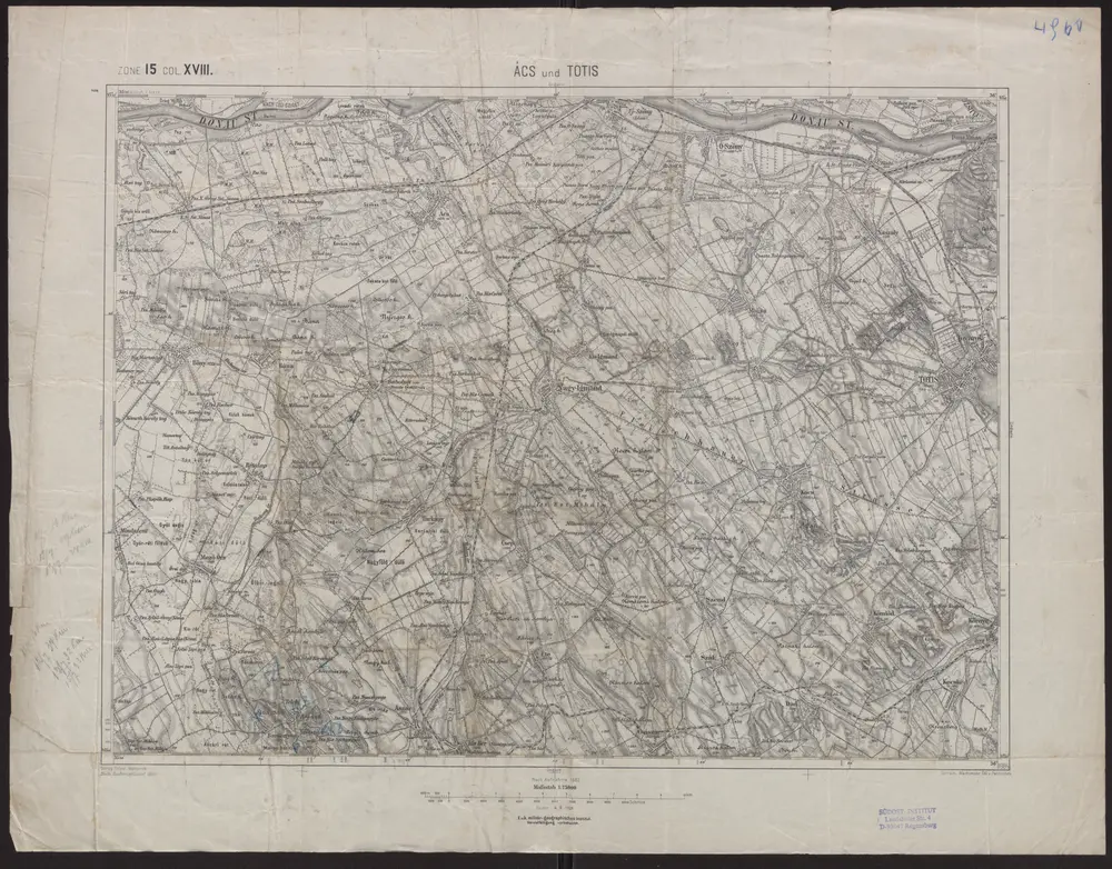
Ács und Totis
1909
Geripp: Feldw. Watterich. Terrain: Wachtmst. Edl. v. Palitschek
1:75k
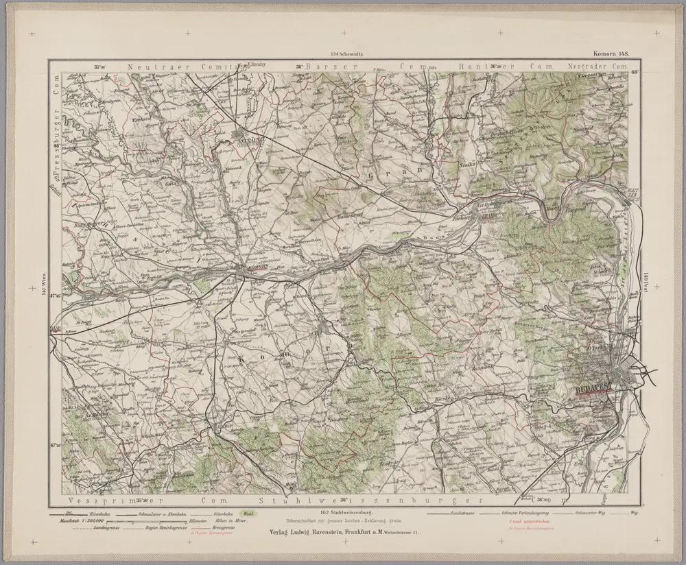
Komorn 148, uit: Special-Karte von Mittel-Europa / nach amtlichen Quellen bearbeitet von W. Liebenow
1899
Johannes Wilhelm Liebenow 1822-1897
1:300k
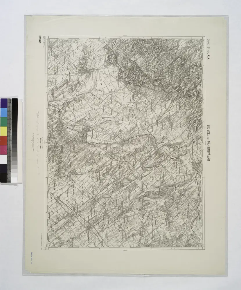
Bicske und Martonvasar.
1914
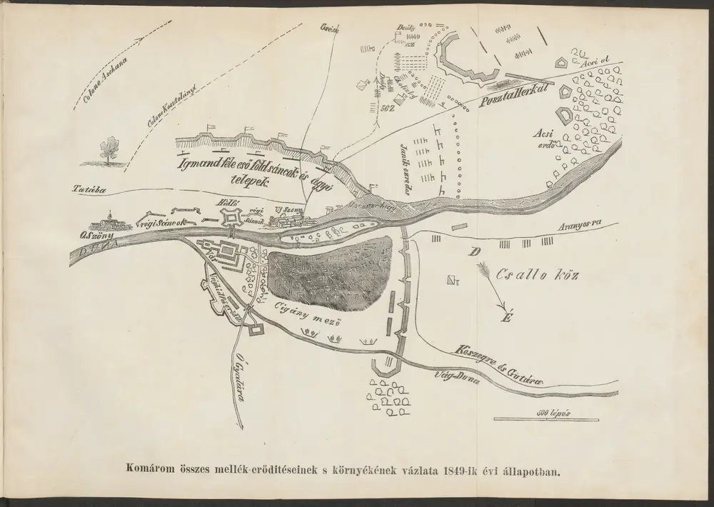
Komárom összes mellék-erőditéseinek s környékének vázlata 1849-ik évi állapotban
1849
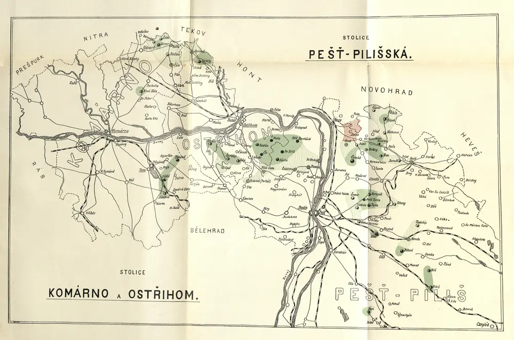
Stolice Pešť-Pilišská. Stolice Komárno a Ostřihom
1900
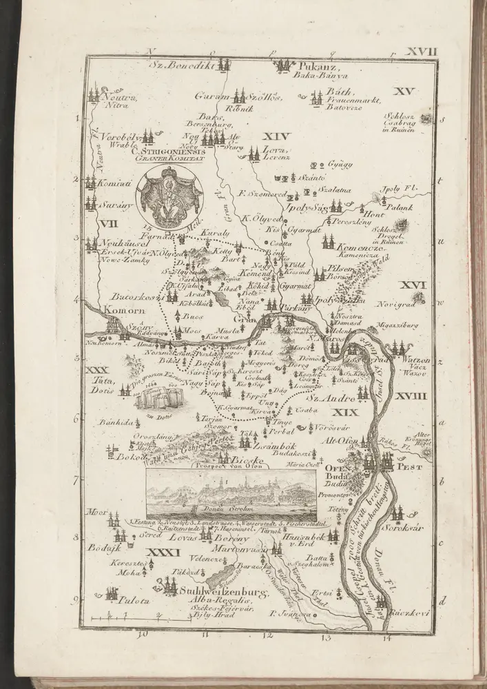
C. Strigontensis
1804