Gecatalogiseerde kaart
Maritima Brasiliæ universæ / [Joan Blaeu]

Volledige titel:Maritima Brasiliæ universæ / [Joan Blaeu]
Jaar illustratie:1662
Uitgever:[Amsterdam] : [Blaeu]
Fysieke grootte:20 x 30 cm
Schaal kaart:1:6 375 000
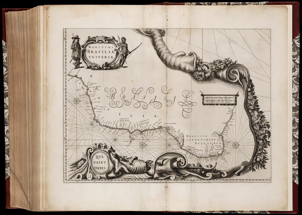
Maritima Brasiliæ universæ / [Joan Blaeu]
1662
Joan Blaeu 1597/98-1673
1:6m
Nova et accurata Brasiliae totius tabula
1739
Blaeu, Joan, 1596-1673
1:6m
n/a
1728
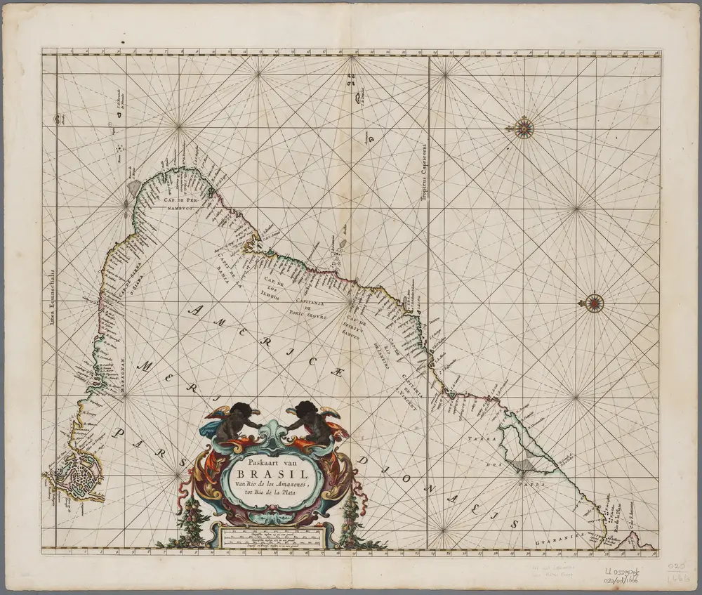
Paskaart van Brasil : van Rio de los Amazones, tot Rio de la Plata
1666
[Amsterdam : Pieter Goos]
1:5m
Littora Brasiliæ
1739
Renard
Recens elaborata mappa geographica regni Brasiliae in America Meridionali maxime celebris
1730
1:6m
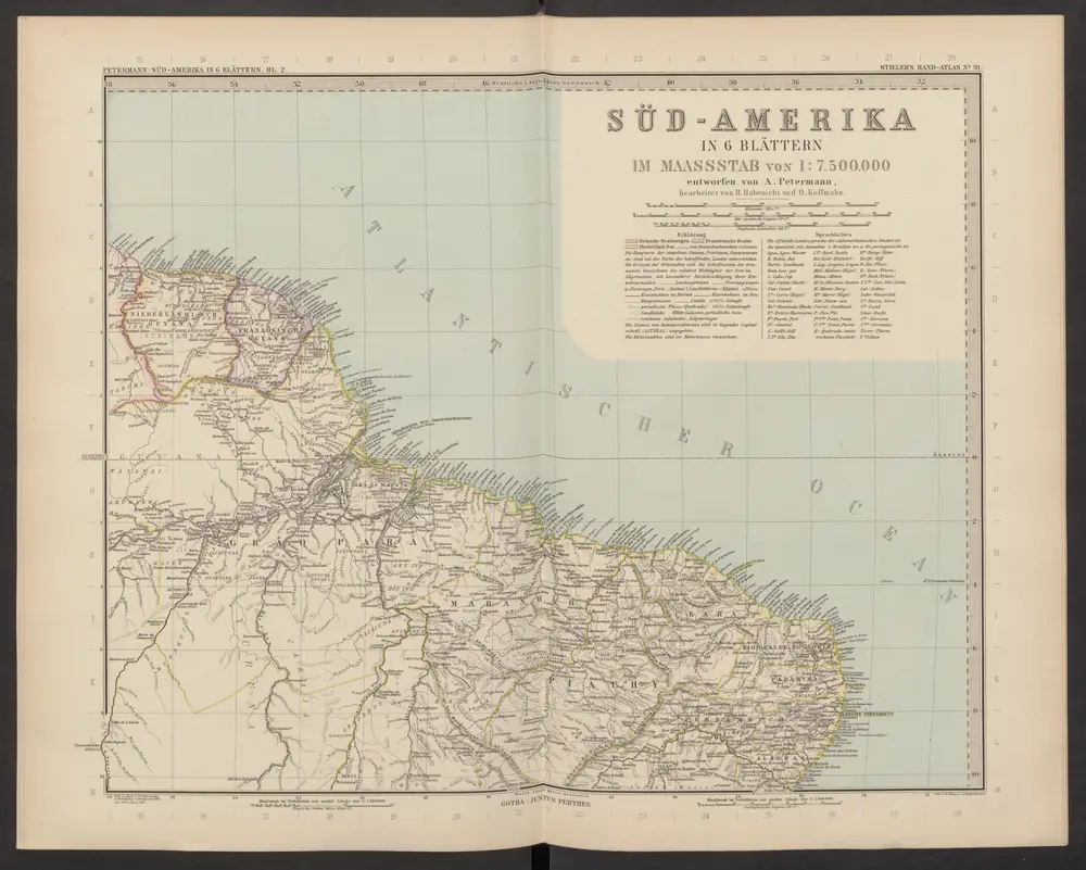
[Süd-Amerika in 6 Blättern, Blatt 2]
1892
Stieler, Adolf
Chart of the lighthouses of the Brazilian coast
1910
Jaceguay, Arthur 1843-1914; Mission brésilienne d'expansion économique
1:9m
Brasilien und die angrenzenden Länder
1830
Gleditsch
1:1m
A map of Brazil, now called New Portugal
1817
Carey, Mathew, 1760-1839
1:10m