Carte cataloguée
Ducatus Holsatiæ descriptio novissima / excudebant Janssonio-Waesbergii et Moses Pitt

Titre complet:Ducatus Holsatiæ descriptio novissima / excudebant Janssonio-Waesbergii et Moses Pitt
Année de l'image:1680
Éditeur:[Amstelodami : apud Ioannem Ianssonium]
Taille physique:20 x 30 cm
Échelle de la carte:1:365 000

Ducatus Holsatiæ descriptio novissima / excudebant Janssonio-Waesbergii et Moses Pitt
1680
Johannes Janssonius van Waesberge -1681?; Moses Pitt ca. 1654-1696
1:365k
Holsatiae descrip
1579
Jorden; Ortelius

Atlas minor, mapa ze strany: 119
1610
Mercator Gerhard
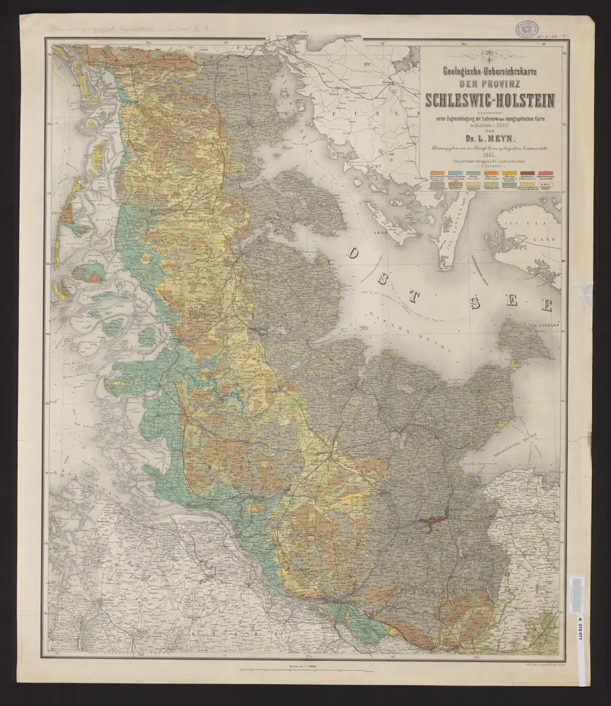
Geologische-Uebersichtskarte der Provinz Schleswig-Holstein
1881
Meyn, Ludwig
1:300k
Holsatia ducatus
1630
Mercator; Hondius
n/a
1791

Neuer Atlas Uber die Gantze Welt, mapa ze strany: [163]
1714
Homann Johann Baptist
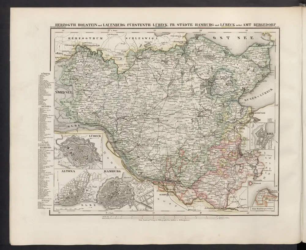
[Herzogthum Holstein und Lauenburg, Fürstenthum Lübeck, Fr. Städte Hamburg und Lübeck nebst Amt Bergedorf]
1860
Meyer, J.
n/a
1791
Schleswig-Holstein, Lauenburg, Hamburg, Lübeck, Oldenburg
1880
C. Flemming
1:610k