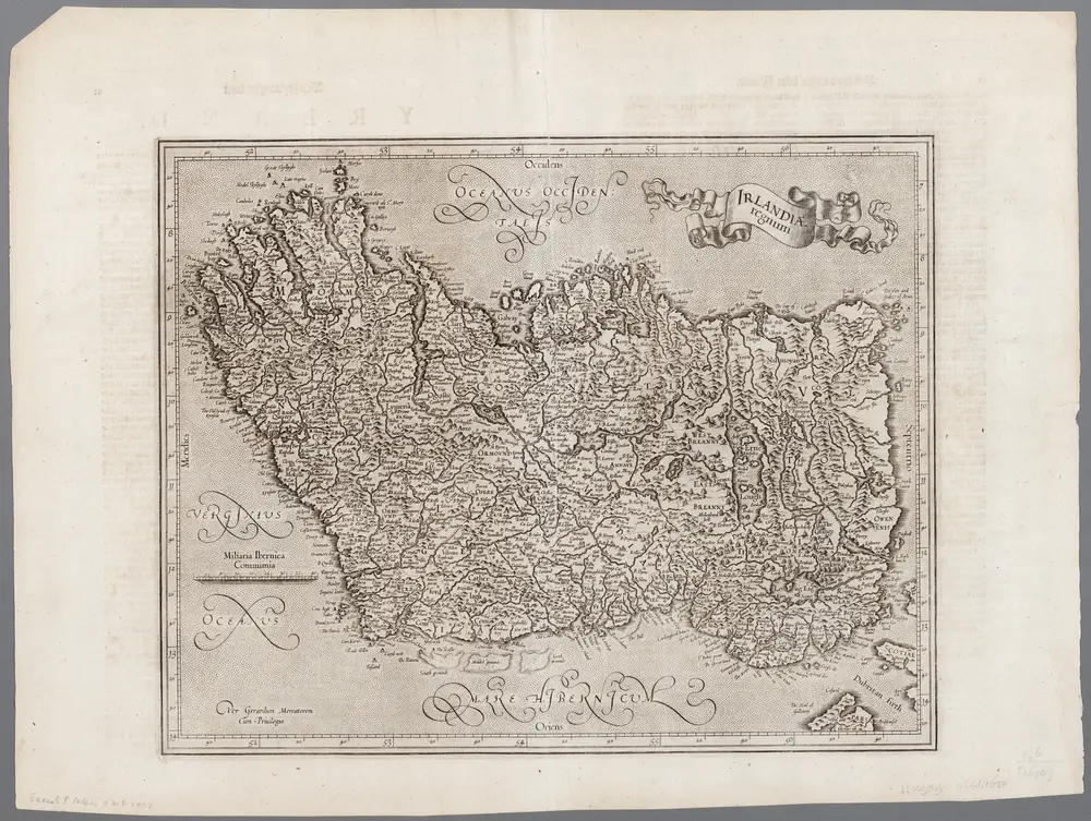
Carte cataloguée
[Recto], uit: Irlandiae regnum / per Gerardem Mercatorem

Titre complet:[Recto], uit: Irlandiae regnum / per Gerardem Mercatorem
Année de l'image:1634
Éditeur:[Amsterdam : Henricus Hondius en Ian Ianssen]
Taille physique:20 x 30 cm
Échelle de la carte:1:2 500 000
Hiberniæ regnum
1715
Homann; Petty; Visscher
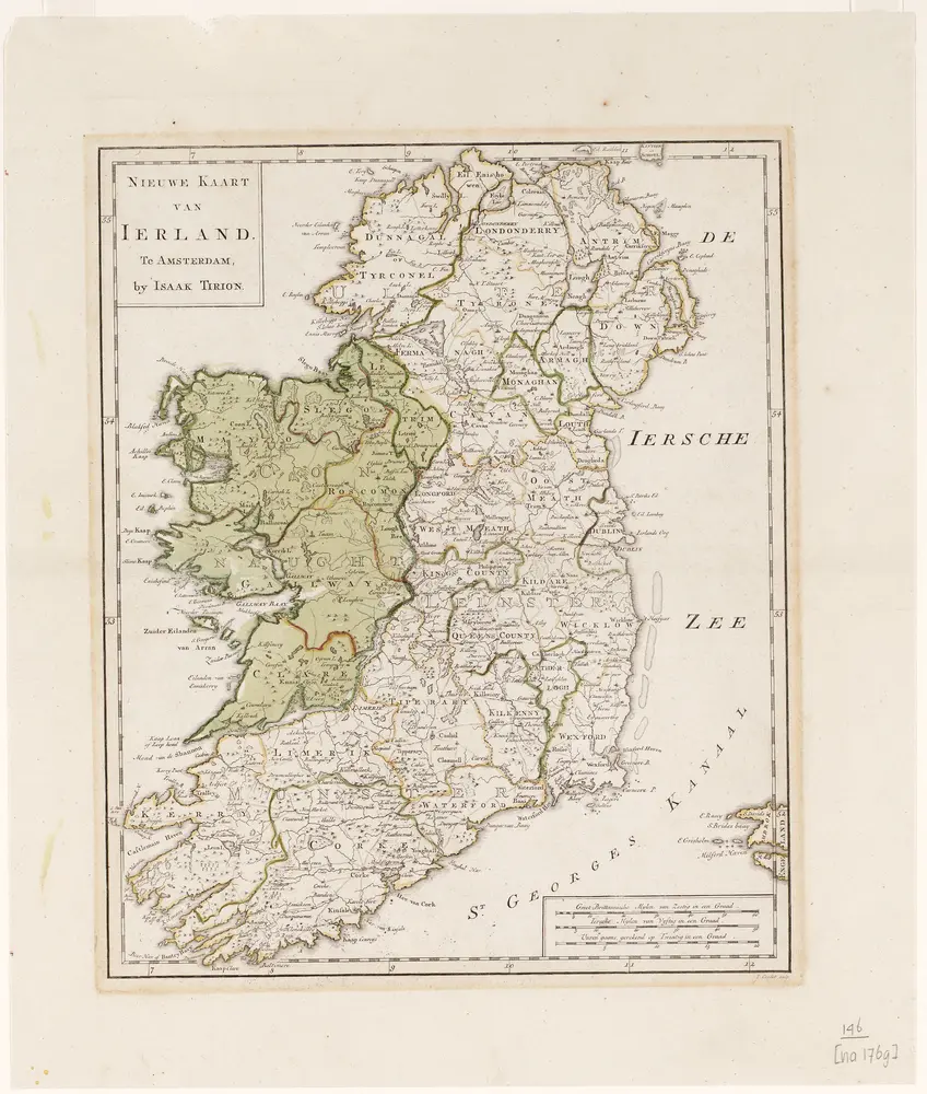
Nieuwe kaart van Ierland / I. Condet sculp.
1769
Johannes Condet 1711-1781
1:1m
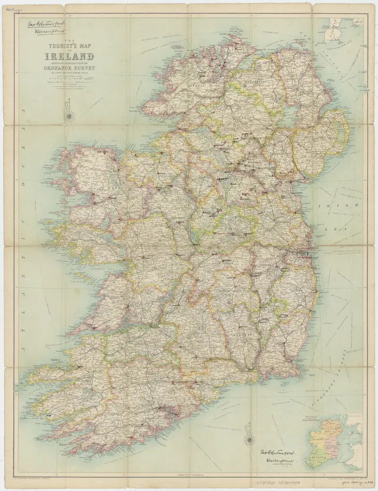
[Kaart], uit: The tourist's map of Ireland
1905
Edinburgh : Bartholomew, The Geographical Institute
1:664k
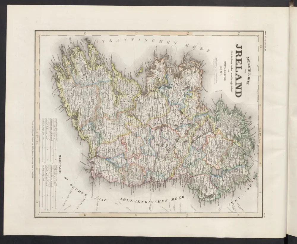
Neueste Karte von Jreland
1860
Meyer, J.
Parte del regno d'Irlandia, cioè le provincie d'Ulster, e Leinster
1778
Zatta; Zuliani; Pitteri
[Recto], uit: Irlandiae regnum / per Gerardem Mercatorem
1634
Mercator, Gerhard
1:3m
Parte del regno d'Irlanda, cioè le provincie di Connaught, e Munster
1778
Zatta
Le royaume d'Irlande
1700
Jaillot; Sanson

Neuer Atlas Uber die Gantze Welt, mapa ze strany: [90]
1714
Homann Johann Baptist
Charte von Ireland
1804
Kitchin; Beaufort; Jefferys
Charte von Ireland
1803
Stieler; Beaufort
Carte du royaume d'Irlande
1812
Hérisson; Basset; Basset
Carte du gouvernement civil et militaire avec l'etat des officiers du royaume d'Irlande
1739
Châtelain
Regnum Hiberniæ
1750
Valck; Valck
Carte ancienne et moderne de l'Irlande
1739
Châtelain
Nouvelle carte de l'Irlande
1739
Châtelain
Le royaume d'Irlande
1693
Jaillot; Sanson
Le royavme d'Irlande
1690
Coronelli; Petty; Nolin
Novissima ac præ cæteris alus accuratissima regni et insulæ Hiberniæ delineatio
1710
Wit
Hyberniæ regni in provincias Ultoniam, Connachiam, Lageniam, Momoniamq divisi tabula accuratissima
1710
Allard
Regnum Hiberniæ
1688
Wit
Irlandiæ regnum
1630
Mercator; Hondius
Irlandiæ regnum
1630
Mercator
Irlandiæ regnum
1606
Mercator; Hondius
Hiberniae britan[n]icae insvlae nova descriptio
1600
Quad; Bussemacher
Eryn
1579
Ortelius
Eryn
1573
Ortelius