Mappa catalogata
Feuille 47 (E VII), uit: Carte géologique internationale de l'Europe : la carte, votée au congrès géologique international de Bologne en 1881, est exécutée conformément aux décisions d'une commission internationale, avec le concours des gouvernements, sous le dir. de M.M. Beyrich et Hauchecorne

Titolo completo:Feuille 47 (E VII), uit: Carte géologique internationale de l'Europe : la carte, votée au congrès géologique international de Bologne en 1881, est exécutée conformément aux décisions d'une commission internationale, avec le concours des gouvernements, sous le dir. de M.M. Beyrich et Hauchecorne
Anno di illustrazione:1881
Editore:Berlin : Reimer / (Berlin: Institut lithographique)
Dimensione fisica:20 x 30 cm
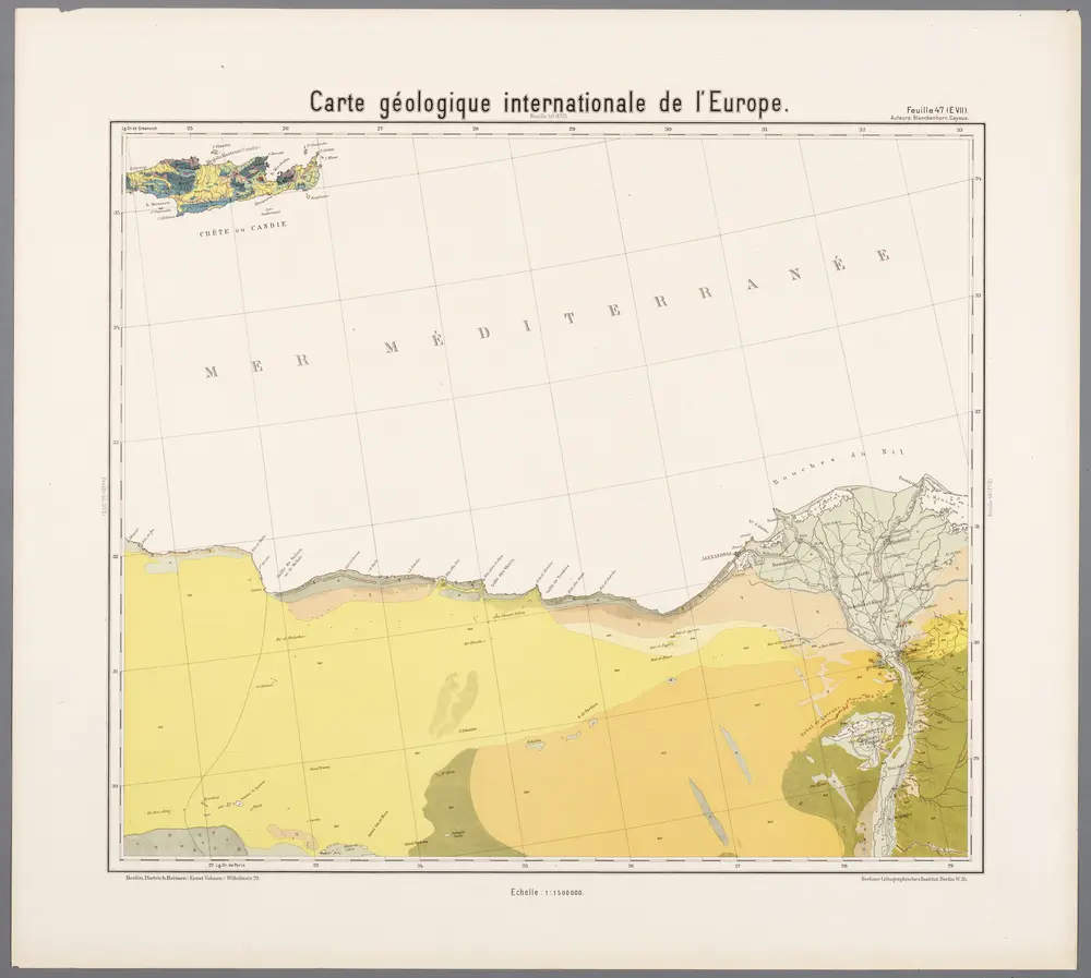
Feuille 47 (E VII), uit: Carte géologique internationale de l'Europe : la carte, votée au congrès géologique international de Bologne en 1881, est exécutée conformément aux décisions d'une commission internationale, avec le concours des gouvernements, sous le dir. de M.M. Beyrich et Hauchecorne
1881
Heinrich Ernst Beyrich 1815-1896; Wi. Hauchecorne
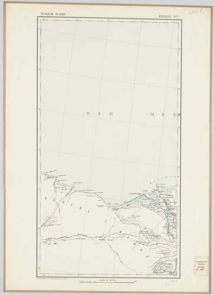
Feuille No. 7, uit: Carte de la Turquie d'Asie (moins l'Arabie) / dessiné et héliogravé au Service géographique de l'Armée
1897
Service géographique de l'Armée
1:1m

Atlas minor, mapa ze strany: 583
1610
Mercator Gerhard
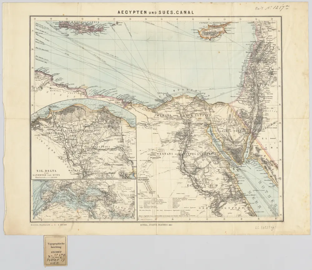
[Kaart], uit: Aegypten und Sues-Canal
1882
Gotha : Justus Perthes
1:4m
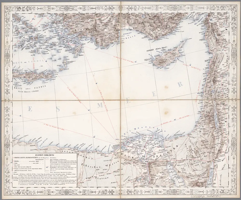
[XXIV], uit: Geognostische Karte des Oesterreichischen Kaiserstaates mit einem grossen Theile Deutschland's u. Italien / hauptsachlich nach ... Haidinger's geognostischer Karte dieses Staates bearb. von Josef Scheda
1847
Scheda, Joseph
1:3m
Egypt, Western Desert 1:25 000 to 1:100 000, El Daba El Alamein
1942
Germany. Heer. Afrikakorps.
Carte de l'Egypte ancienne et moderne
1753
1:2m
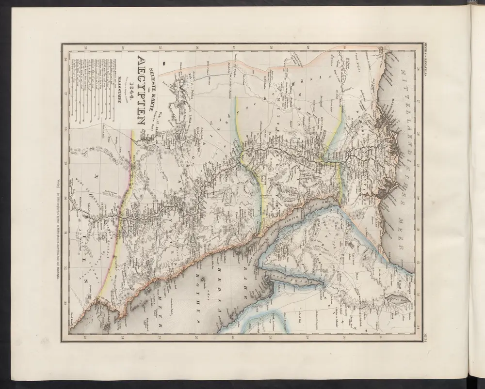
Neueste Karte von Aegypten
1860
Meyer, J.
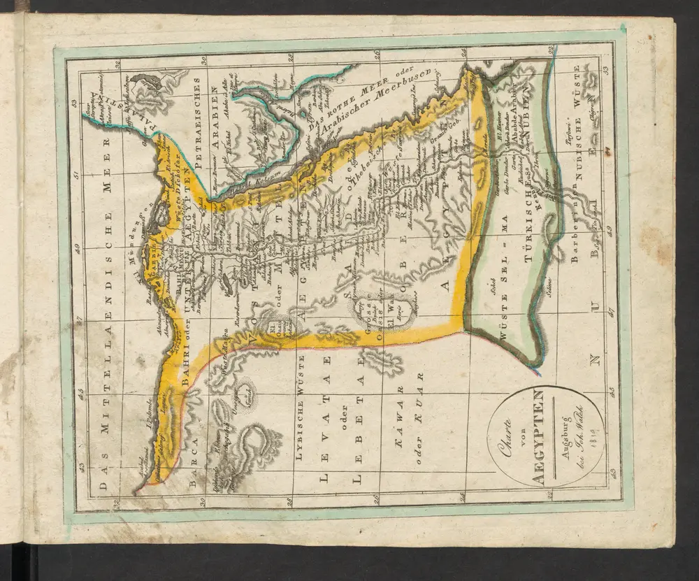
Aegypten
1819
Walch, Johann

Neuer Atlas Uber die Gantze Welt, mapa ze strany: [239]
1714
Homann Johann Baptist