Cataloged map
Feuille 20 (F III), uit: Carte géologique internationale de l'Europe : la carte, votée au congrès géologique international de Bologne en 1881, est exécutée conformément aux décisions d'une commission internationale, avec le concours des gouvernements, sous le dir. de M.M. Beyrich et Hauchecorne

Full title:Feuille 20 (F III), uit: Carte géologique internationale de l'Europe : la carte, votée au congrès géologique international de Bologne en 1881, est exécutée conformément aux décisions d'une commission internationale, avec le concours des gouvernements, sous le dir. de M.M. Beyrich et Hauchecorne
Depicted:1881
Publisher:Berlin : Reimer / (Berlin: Institut lithographique)
Physical Size:20 x 30 cm
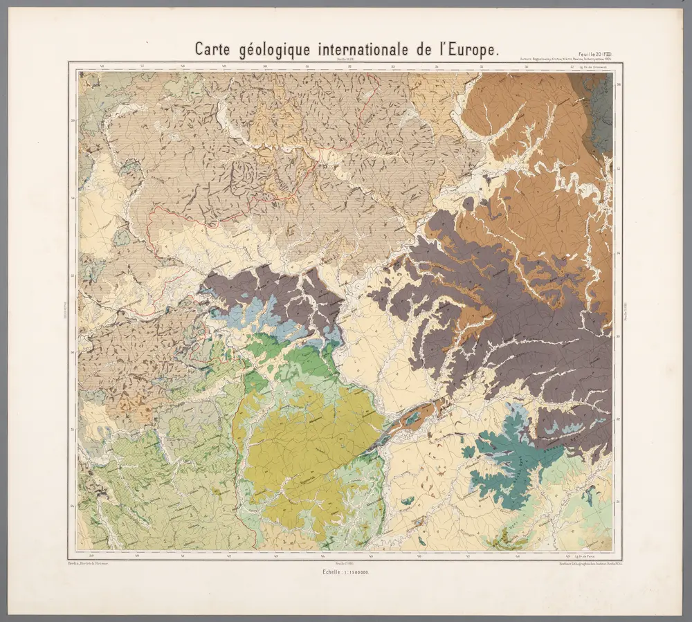
Feuille 20 (F III), uit: Carte géologique internationale de l'Europe : la carte, votée au congrès géologique international de Bologne en 1881, est exécutée conformément aux décisions d'une commission internationale, avec le concours des gouvernements, sous le dir. de M.M. Beyrich et Hauchecorne
1881
Heinrich Ernst Beyrich 1815-1896; Wi. Hauchecorne
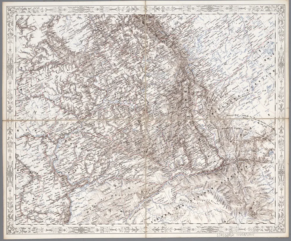
[X], uit: Geognostische Karte des Oesterreichischen Kaiserstaates mit einem grossen Theile Deutschland's u. Italien / hauptsachlich nach ... Haidinger's geognostischer Karte dieses Staates bearb. von Josef Scheda
1847
Scheda, Joseph
1:3m
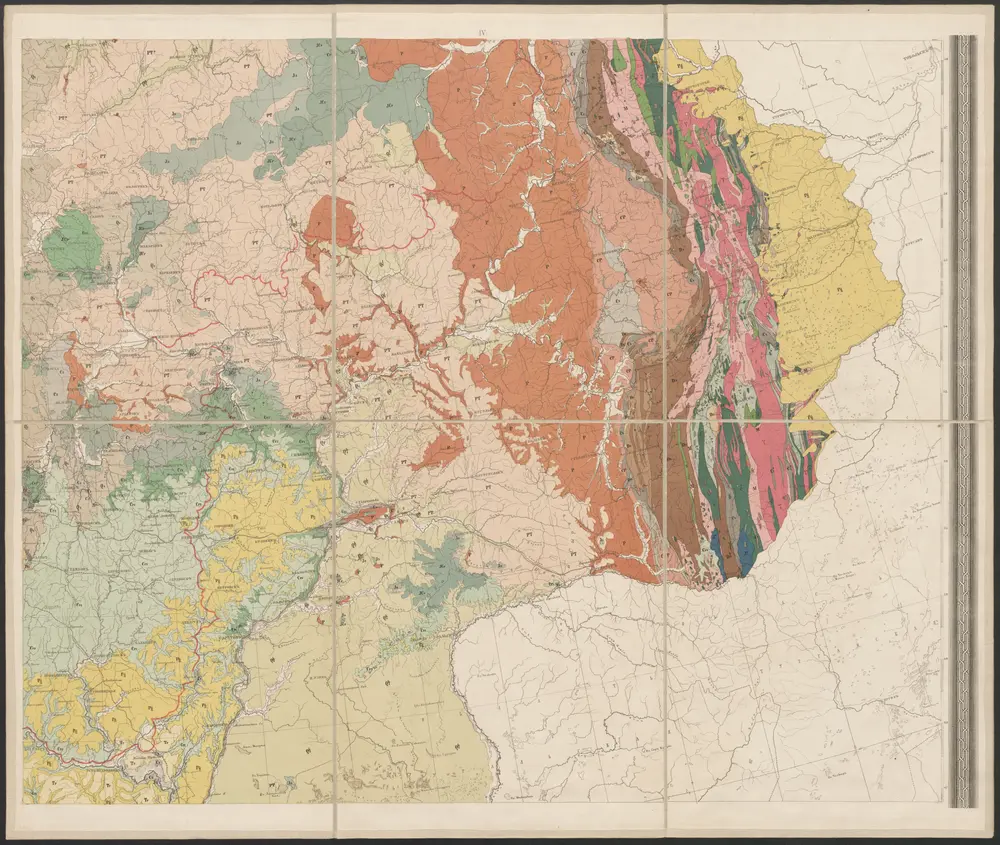
Geologičeskaja karta Evropejskoj Rossii
1892
Karpinskij, A.P. (Aleksandr Petrovič)
1:3m
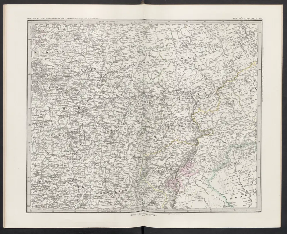
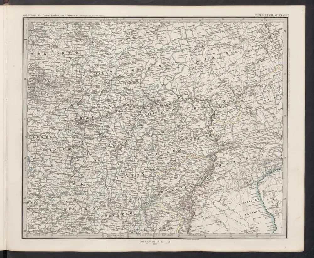
[Ost-Europa in 6 Blättern, Blatt 4]
1876
Stieler, Adolf
[Ost-Europa in 6 Blättern, Enthaltend: Norwegen, Schweden, Russland, Kaukasien und die Türkei, Blatt 4]
1869
Stieler, Adolf
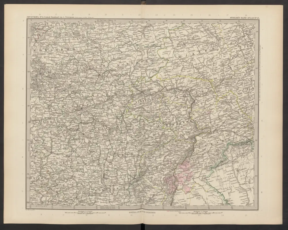
[Ost-Europa, Blatt 4]
1892
Stieler, Adolf
Karte vom URAL GEBIRGE
1837
Berghaus, Heinrich Karl Wilhelm
1:2m
Zweiter Theil der Karte von Europa welcher Dænemark, und Norwegen, Schweden, und Russland enthælt, 1
1787
F.A. Schrämbl
Seconde partie de la carte d'Europe contenant le Danemark et la Norwege, la Suède et la Russie (a l'exeption de l'Ukraine), 1
1758
chez l'auteur
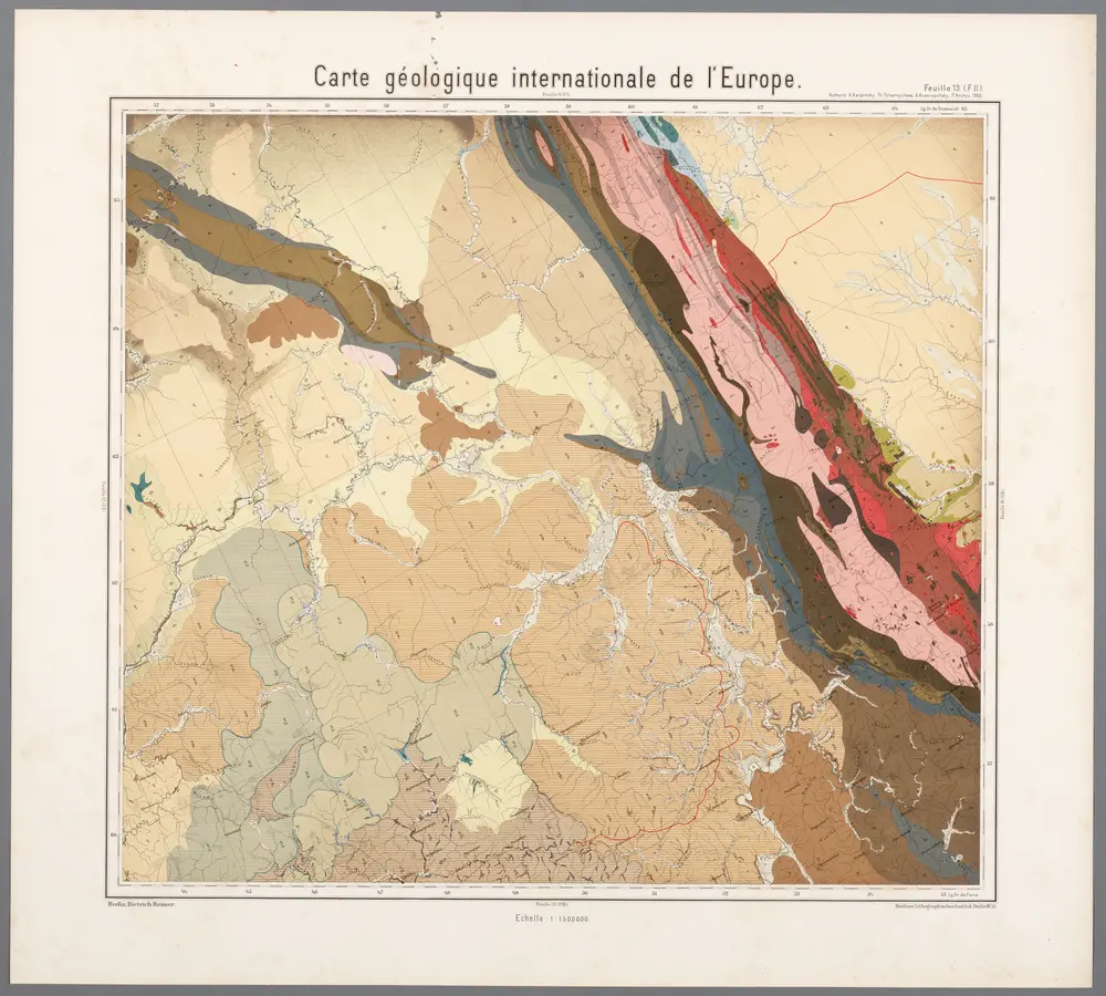
Feuille 13 (F II), uit: Carte géologique internationale de l'Europe : la carte, votée au congrès géologique international de Bologne en 1881, est exécutée conformément aux décisions d'une commission internationale, avec le concours des gouvernements, sous le dir. de M.M. Beyrich et Hauchecorne
1881
Heinrich Ernst Beyrich 1815-1896; Wi. Hauchecorne