Mappa catalogata
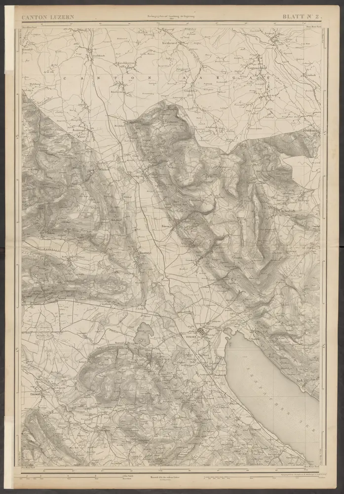
Topographische Karte des Kantons Luzern

Titolo completo:Topographische Karte des Kantons Luzern
Anno di illustrazione:1864
Data di pubblicazione:1864 - 1867
Editore:H. Müllhaupt u. Sohn
Dimensione fisica:20 x 30 cm
Scala della mappa:1:25 000
Topographische Karte des Kantons Luzern
1864
H. Müllhaupt u. Sohn
1:25k
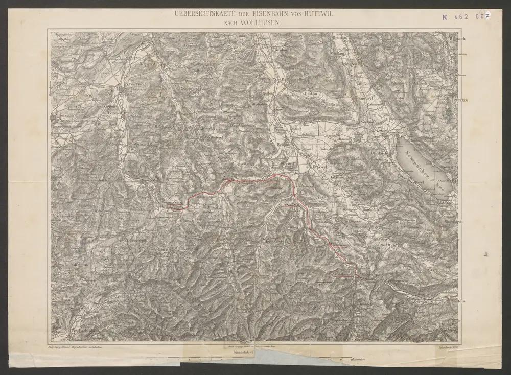
Uebersichtskarte der Eisenbahn von Huttwil nach Wohlhusen
1891
Kümmerly
1:100k
n/a
1791
Inclitae Bernatum urbis, cum omni ditionis suae agro et provinciis delineatio chorographica, 13/14
1578
Adelbert Saueracher
Canton Lucern sive illustris helvetiorum respublica Lucernensis cum subditis suis et confinibus
1763
Walser
Canton Lucern sive illustris helvetiorum respublica Lucernensis cum subditis suis et confinibus
1763
Walser
Das undere Argaw mit seinen anstossenden Gränzen
1720
Bodmer
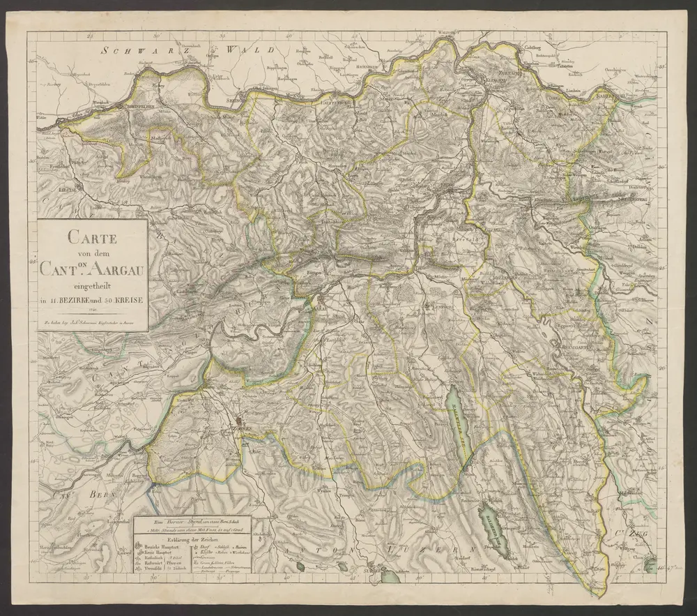
Carte von dem Canton Aargau
1840
Scheuermann, Johann Jakob
1:120k
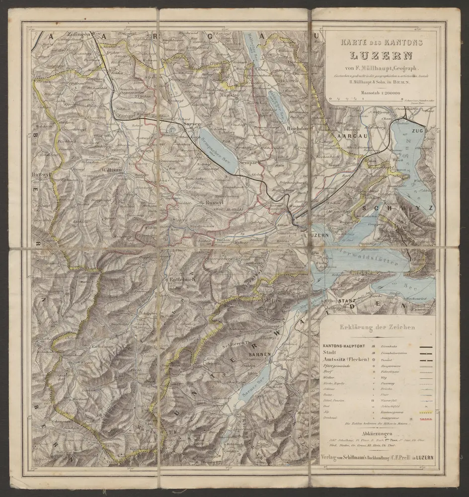
Karte des Kantons Luzern
1880
Müllhaupt, Fritz
1:200k
Canton inter catholicos primaria, sive illustris Helvetiorum respublica Lucernensis cum subditis suis et confinibus
1762
Walser; Seutter