Mapa catalogado
Carte des Cantons Solothurn

Título completo:Carte des Cantons Solothurn
Año de ilustración:1832
Fecha de publicación:1832
Editorial:Engelmann & Compagnie
Tamaño físico:20 x 30 cm
Escala del mapa:1:60 000
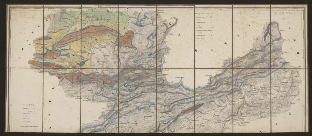
Carte du canton de Bâle
1778
Clermont; Perrier; Bruckner; Bourgoin
Canton Basel
1766
Bruckner; Büchel; Auvray; Mechel
Canton Basel
1766
Bruckner; Büchel; Auvray; Mechel
Pagi Basileensis, qui pars est reipublicæ Helvetiorum cum adjacentibus terrarum tractibus nova eaque accurata mappa geographica
1809
Seutter; Lotter; Probst
Pagi Basileensis, qui pars est reipublicæ Helvetiorum cum adjacentibus terrarum tractibus nova eaque accurata mappa geographica
1740
Seutter; Lotter
Carte typométrique du Canton de Basle
1799
Haas
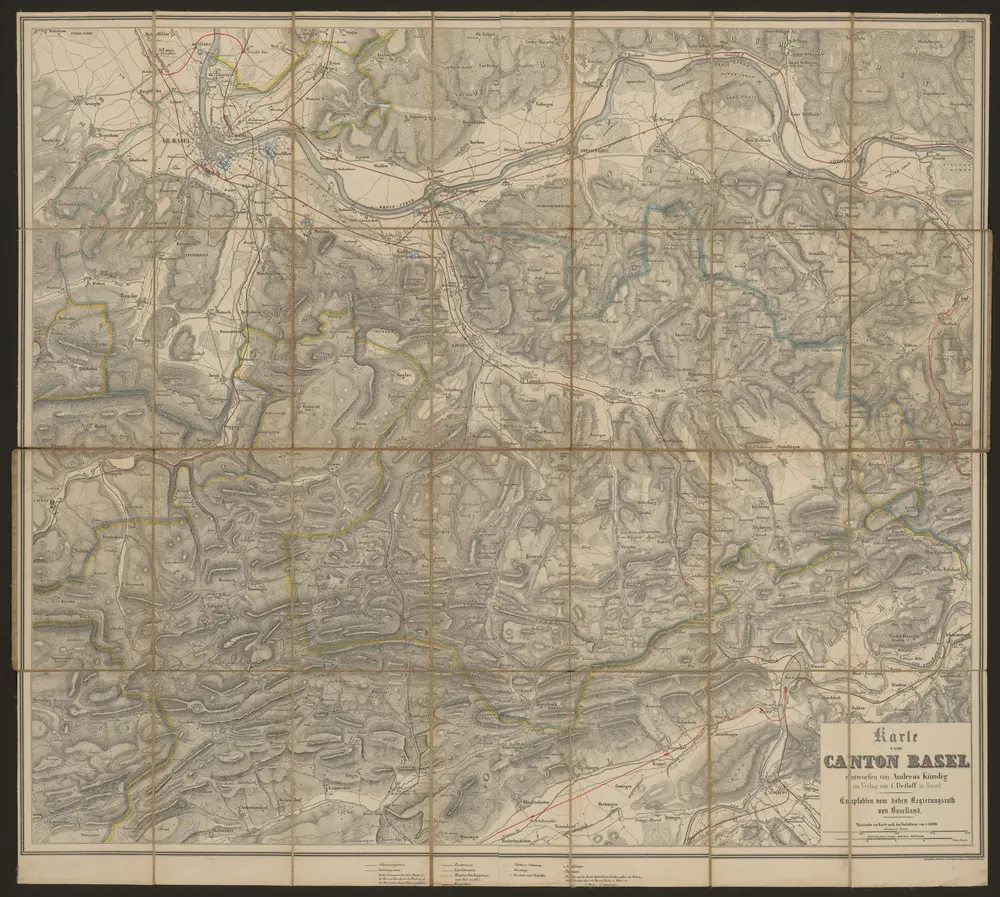
Karte vom Canton Basel
1880
Kündig, Andreas
1:50k
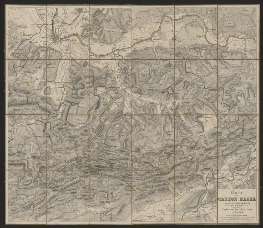
Karte vom Canton Basel
1851
Kündig, Andreas
1:50k
n/a
1791
Carte des Cantons Solothurn
1832
Walker, Josef
1:60k