Gecatalogiseerde kaart
Cantone Solothurn und Basel

Volledige titel:Cantone Solothurn und Basel
Jaar illustratie:1822
Pubdatum:1822
Uitgever:Orell, Füssli & Cp.
Fysieke grootte:20 x 30 cm
Schaal kaart:1:275 000
Canton Solothurn sive pagus Helvetiae Solodurensis cum confinibus
1770
Walser
Canton Solothurn sive pagus Helvetiae Solodurensis cum confinibus
1766
Walser
Canton Solothurn sive pagus Helvetiae Solodurensis cum confinibus
1766
Walser
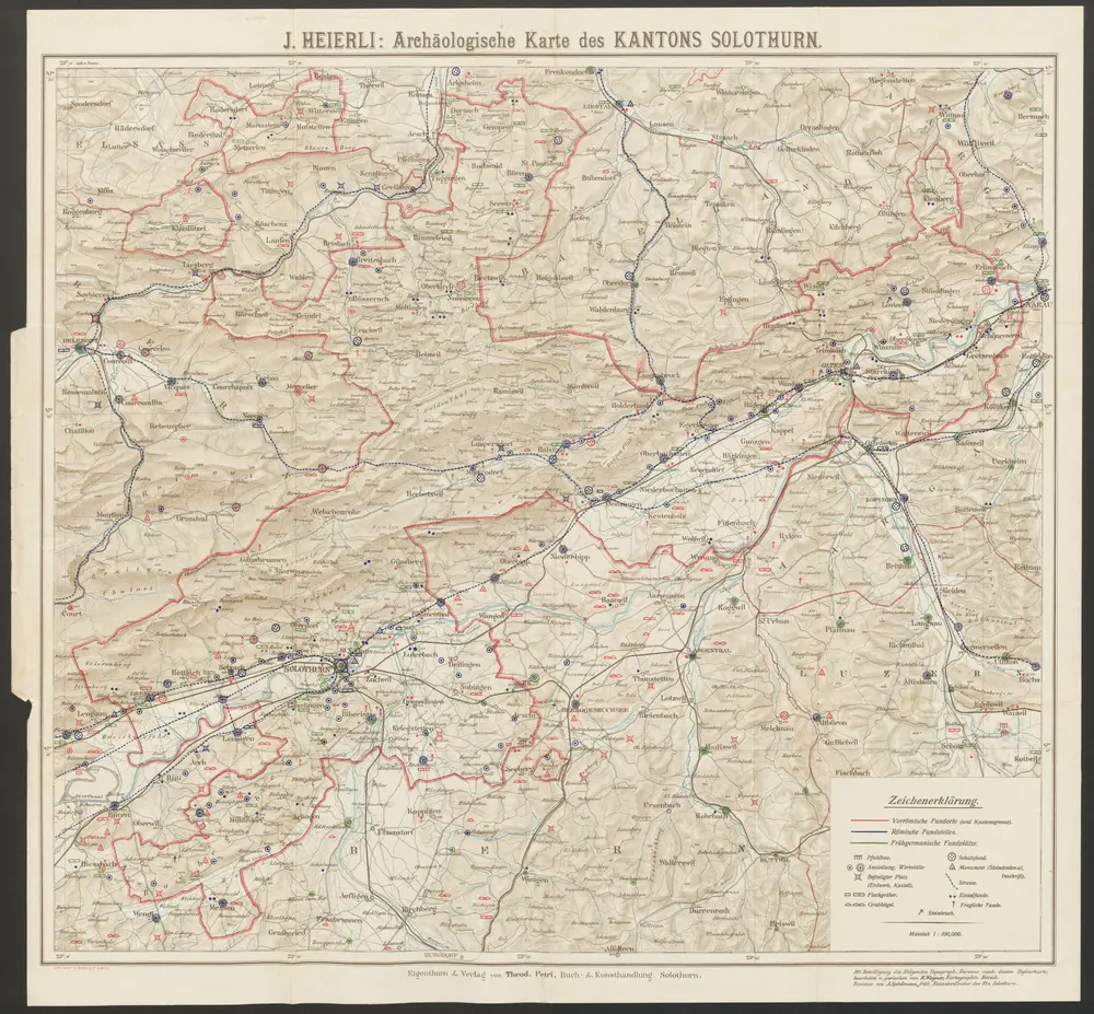
Archäologische Karte des Kantons Solothurn
1905
Heierli, Jakob
1:100k
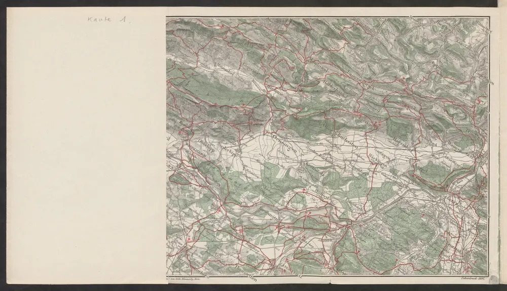
Führer und Exkursions-Karte für Solothurn und Umgebung
1898
Verkehrs- und Verschönerungs-Verein Solothurn
1:100k
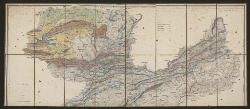
Carte des Cantons Solothurn
1832
Walker, Josef
1:60k
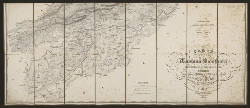
Carte des Cantons Solothurn
1832
Walker, Josef
1:60k
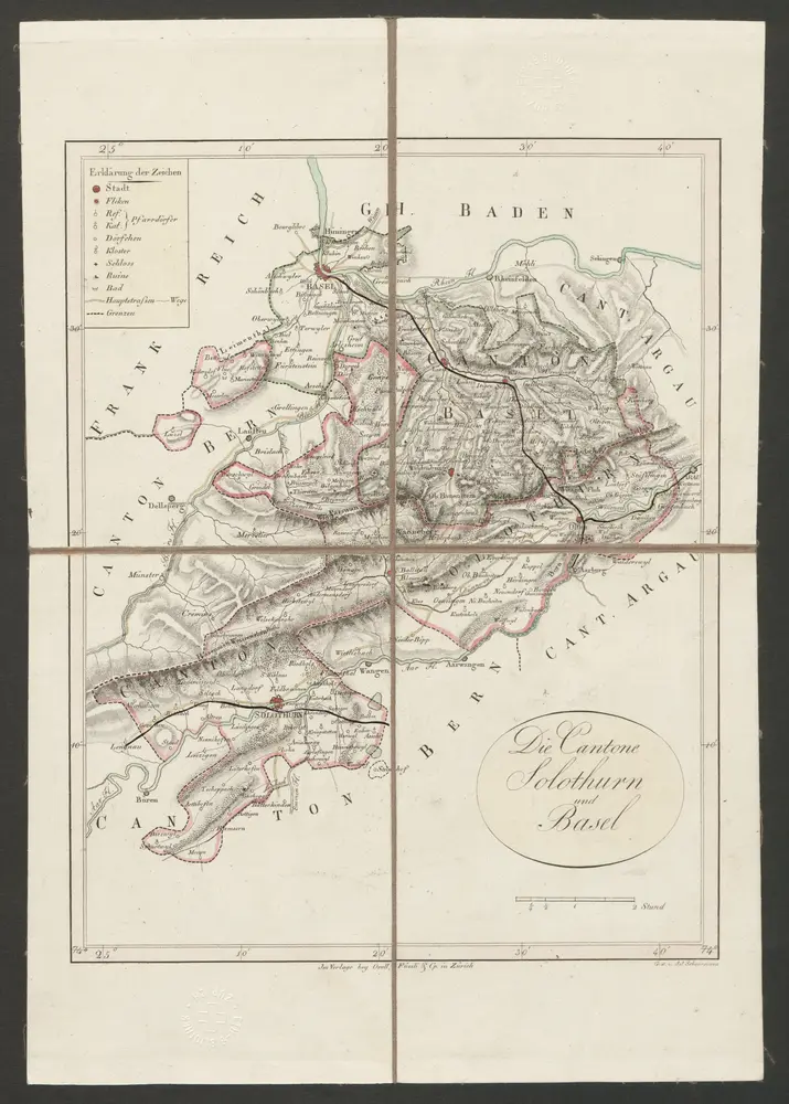
Cantone Solothurn und Basel
1822
Scheuermann, Johann Jakob
1:275k
n/a
1791
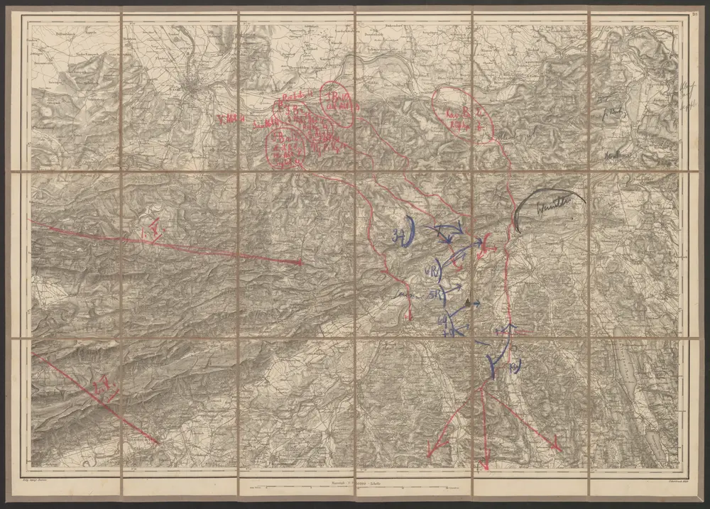
Solothurn - Basel - Brugg
1889
Kriegsdepot des Eidg. Topographischen Bureau's
1:100k