Mappa catalogata
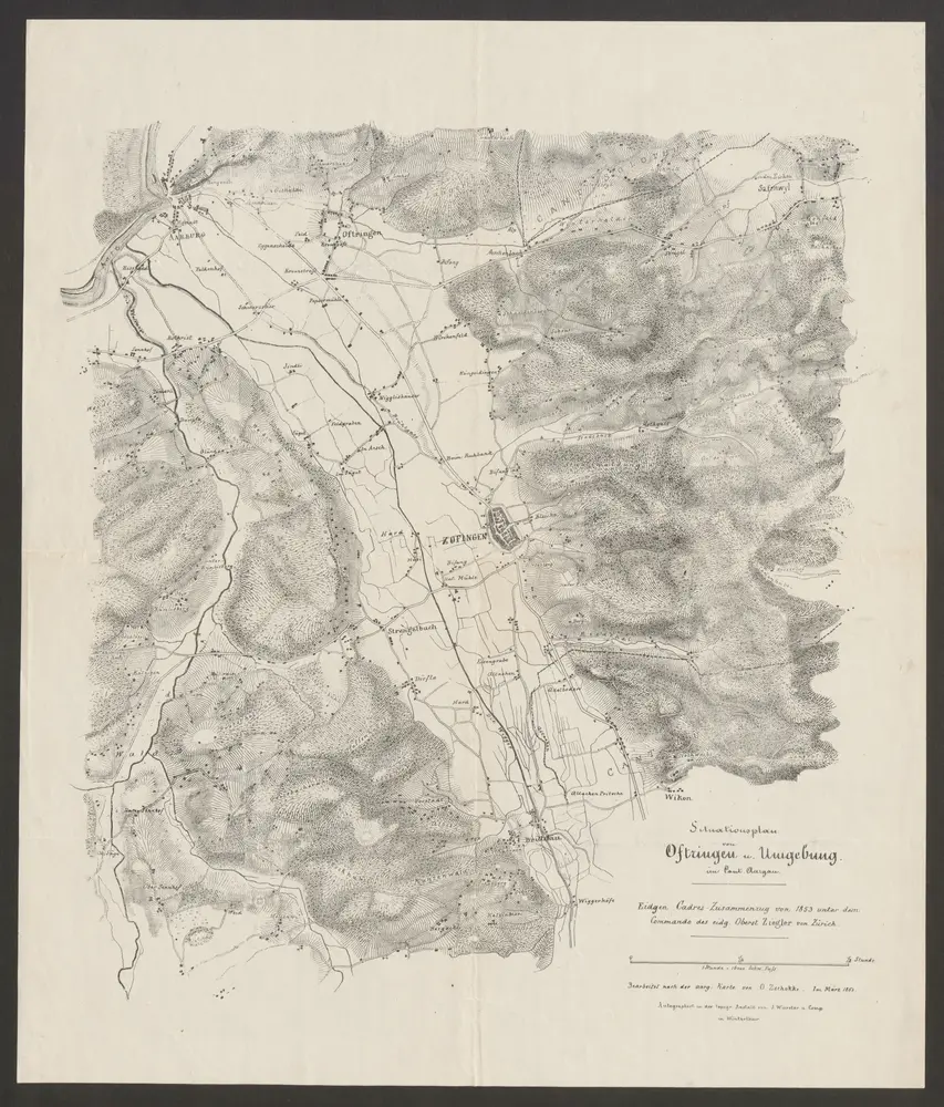
Situationsplan von Oftringen u. Umgebung im Cant. Aargau

Titolo completo:Situationsplan von Oftringen u. Umgebung im Cant. Aargau
Anno di illustrazione:1853
Data di pubblicazione:1853
Editore:J. Wurster u. Comp.
Dimensione fisica:20 x 30 cm
Scala della mappa:1:25 000
Situationsplan von Oftringen u. Umgebung im Cant. Aargau
1853
J. Wurster u. Comp.
1:25k
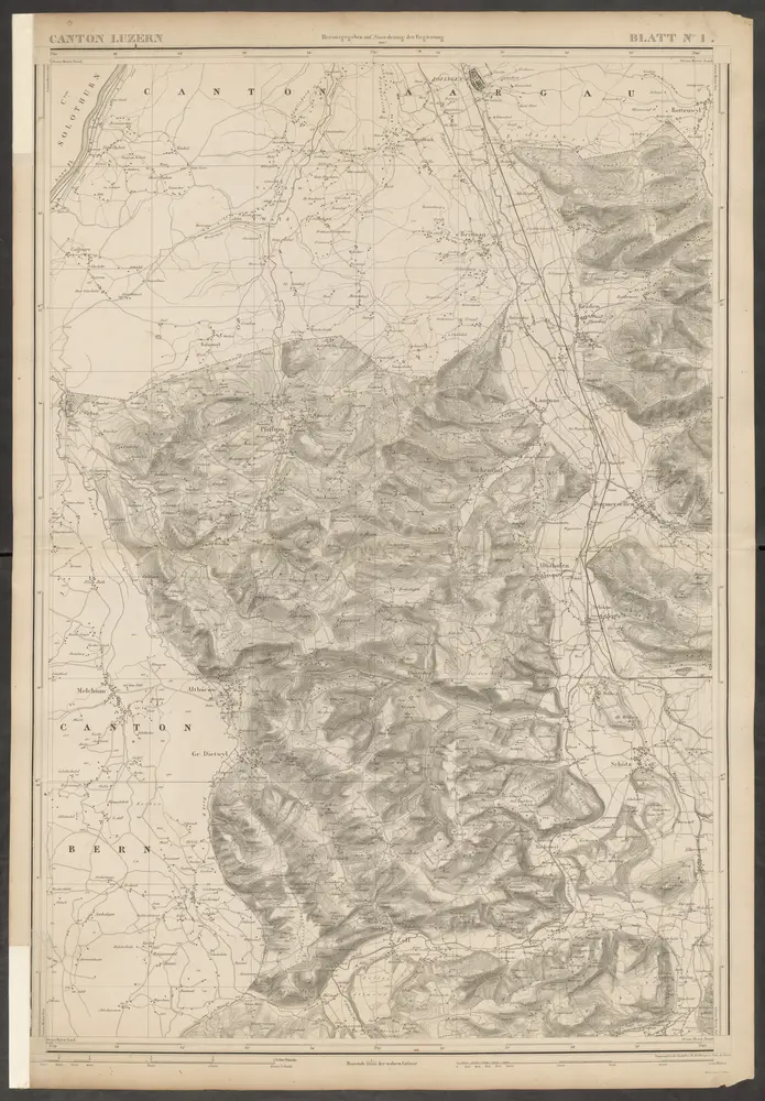
Topographische Karte des Kantons Luzern
1864
H. Müllhaupt u. Sohn
1:25k
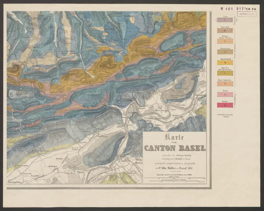
Karte vom Canton Basel
1862
Müller, Albrecht ; Kündig, Andreas
1:50k
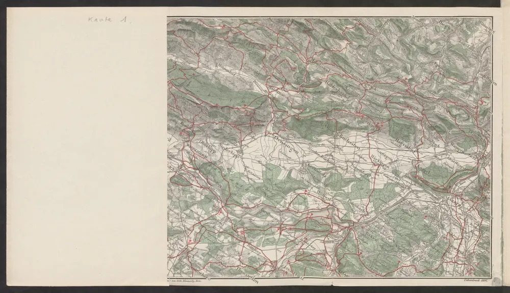
Führer und Exkursions-Karte für Solothurn und Umgebung
1898
Verkehrs- und Verschönerungs-Verein Solothurn
1:100k
n/a
1791
n/a
1791
Inclitae Bernatum urbis, cum omni ditionis suae agro et provinciis delineatio chorographica, 13/14
1578
Adelbert Saueracher
Canton Solothurn sive pagus Helvetiae Solodurensis cum confinibus
1766
Walser
Canton Solothurn sive pagus Helvetiae Solodurensis cum confinibus
1766
Walser
Das undere Argaw mit seinen anstossenden Gränzen
1720
Bodmer