Mapa catalogado
Eisverbreitung Einst und Jetzt
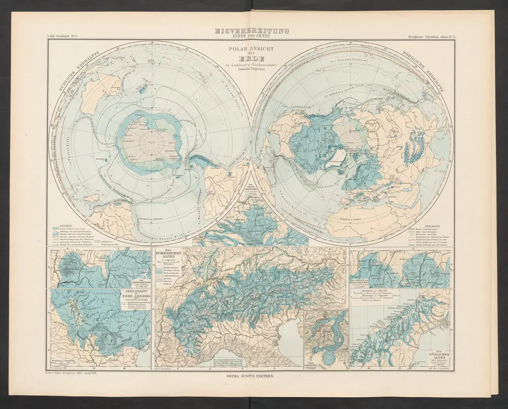

Título completo:Eisverbreitung Einst und Jetzt
Año de ilustración:1892
Fecha de publicación:1892
Editorial:Justus Perthes
Tamaño físico:20 x 30 cm

F.B. Škorpila Zeměpisný atlas pro měšťanské školy, mapa ze strany: 25
1934
Škorpil, František Bohumil
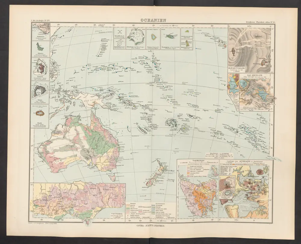
Oceanien
1892
Zittel, K.v. ; Berghaus, Hermann
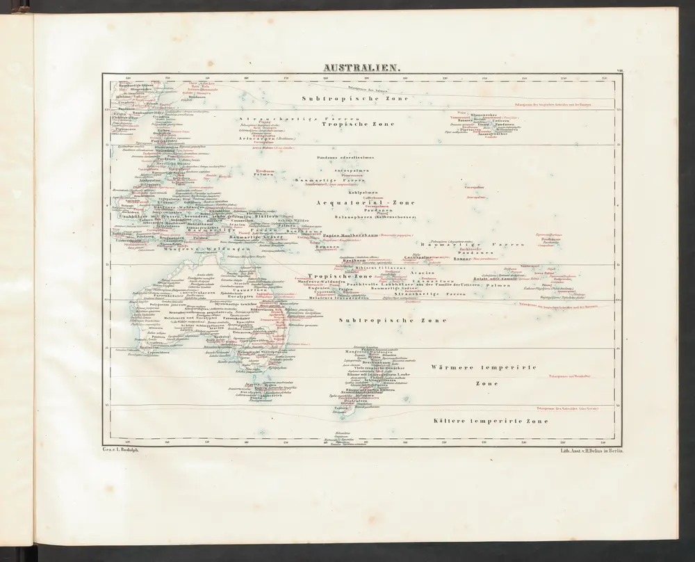
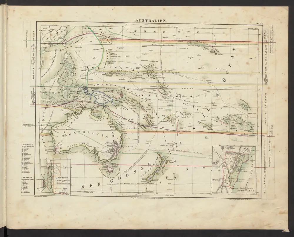
Australien
1852
Rudolphi, Ludwig
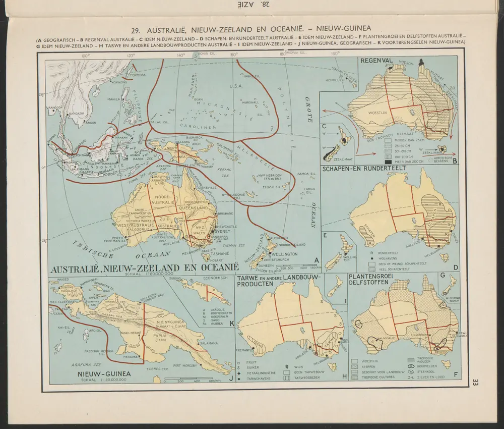
Nieuw-Zeeland : Plantengroei delfstoffen [G]
1956
Arnoldus Johannes Cornelius Krafft (1892-)

Neuw-Guinea [J]
1956
Arnoldus Johannes Cornelius Krafft (1892-)
Australien
1843
Völter, Daniel
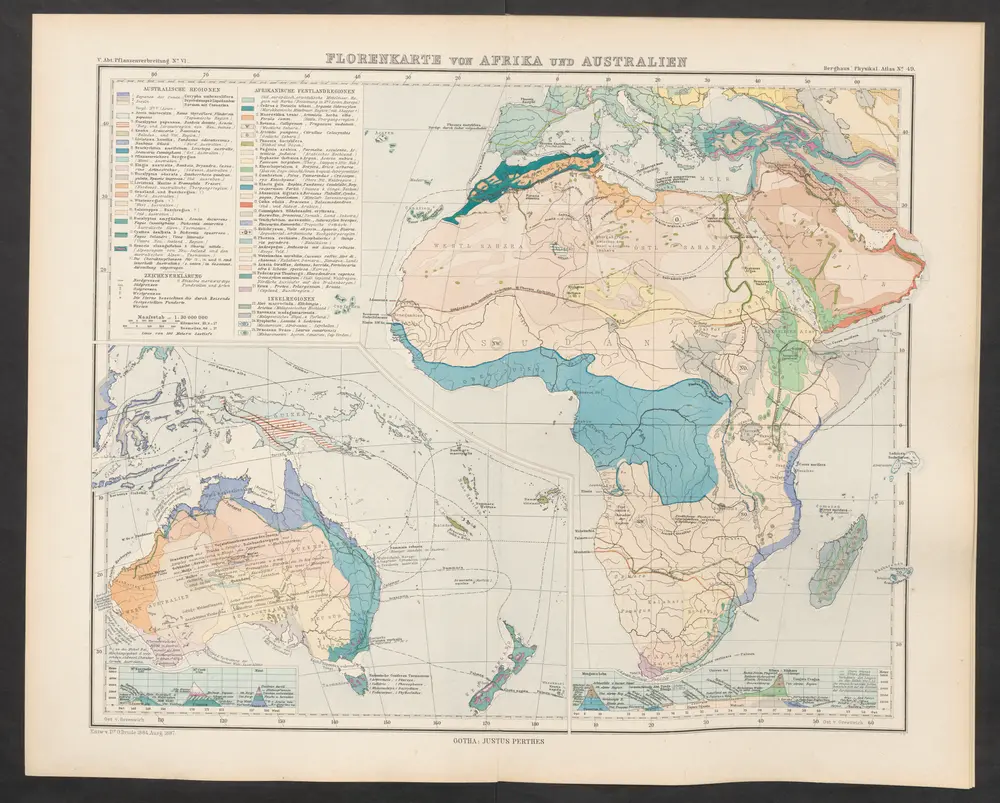
Florenkarte von Afrika und Australien
1887
Drude, Oscar
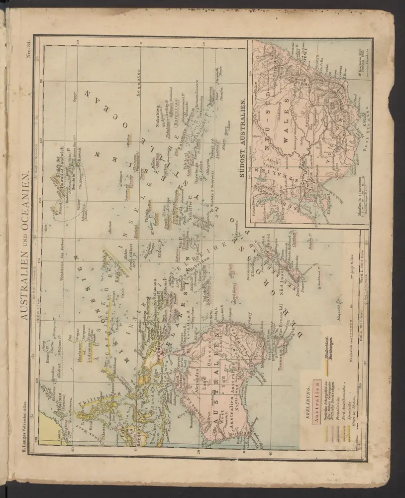
Australien und Oceanien
1886
Lange, Henry
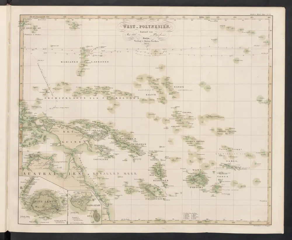
[West-Polynesien]
1854
Stieler, Adolf
Australien und Polynesien
1854
Stieler, Adolf