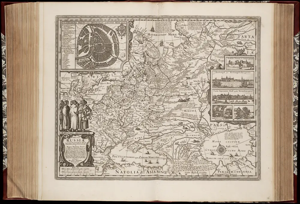
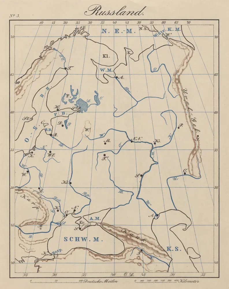
Maps of Europe

Maps of Europe

$title$

[Verbreitung und Vertheilung der Europäischen Vögel]

Zweiter Band, enthaltend in vier Abtheilungen die Vertheilung der Organismen: 5. Pflanzen-Geographie, 6. Thier-Geographie, 7. Anthropographie, 8. Ethnographie Humboldt, Alexander von Verlag von Justus Perthes
$title$

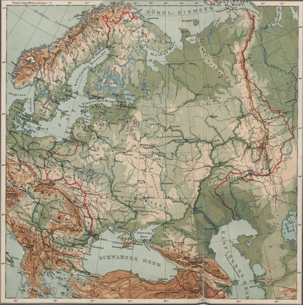
Europa zur Uebersicht der Flussgebiete und Höhenzüge

Hand-Atlas über alle Theile der Erde nach dem neuesten Zustande und über das Weltgebäude Stieler, Adolf bei Justus Perthes
$title$

Dated events, World War map, by Stanley Turner

1 : 13000000 Turner, Stanley
$title$

Letecká navigační mapa

$title$

[Übersicht von Europa mit ethnograph. Begränzung der einzelnen Staaten, und den Völker-Sitzen in der Mitte des 19ten Jahrhunderts]

Zweiter Band, enthaltend in vier Abtheilungen die Vertheilung der Organismen: 5. Pflanzen-Geographie, 6. Thier-Geographie, 7. Anthropographie, 8. Ethnographie Humboldt, Alexander von Verlag von Justus Perthes
$title$

Europe.

from Carey's general atlas, improved and enlarged : being a collection of maps of the world and quarters, their principal empires, kingdoms, &c.
$title$

State of Nations at the Christian aera From Pinkerton on the Goths.

1 : 40000000 Finley, Anthony
$title$

Geographie du Moyen Age.

1 : 35000000 Malte-Brun, Conrad, 1775-1826
$title$

Der noerdliche Theil des grossen Welt Meeres / von C. G. Reichard im Jahre 1804 ; Nach des Herrn von

1 : 11100000 1 Karte : Kupferdruck ; 49 x 67 cm Reichard, Christian Gottlieb Theophil im Verlage des Geograph. Instituts
$title$

Carte des nouvelles decouvertes au nord de la mer du Sud

1 Karte : Kupferdruck ; 37 x 62 cm Santini; Remondini chez François Santini rue S.te Justine près de l'eglise, chez M. Remondini
$title$

Carte des nouvelles découvertes au nord de la mer du Sud

1 Karte : Kupferdruck ; 37 x 62 cm Delisle; L'Isle; Buache s.n.
$title$

Europa

Schul-Atlas über alle Theile der Erde nach dem neuesten Zustande, und über das Weltgebäude Stieler, Adolf bei Justus Perthes
$title$

Europa

Schul-Atlas über alle Theile der Erde nach dem neuesten Zustande, und über das Weltgebäude Stieler, Adolf Justus Perthes
$title$

Nuove scoperte de'russi al nord del mare del Sud sí nell'Asia, che nell'America

1 Karte : Kupferdruck ; 30 x 39 cm Zatta presso Antonio Zatta
$title$

Geologie von Europa nach den Hauptverhältnissen

Erster Band, enthaltend in vier Abtheilungen die Erscheinungen der anorganischen Natur: 1. Meteorologie und Klimatographie. 2. Hydrologie und Hydrographie. 3. Geologie. 4. Tellurischer Magnetismus Humboldt, Alexander von Verlag von Justus Perthes
$title$

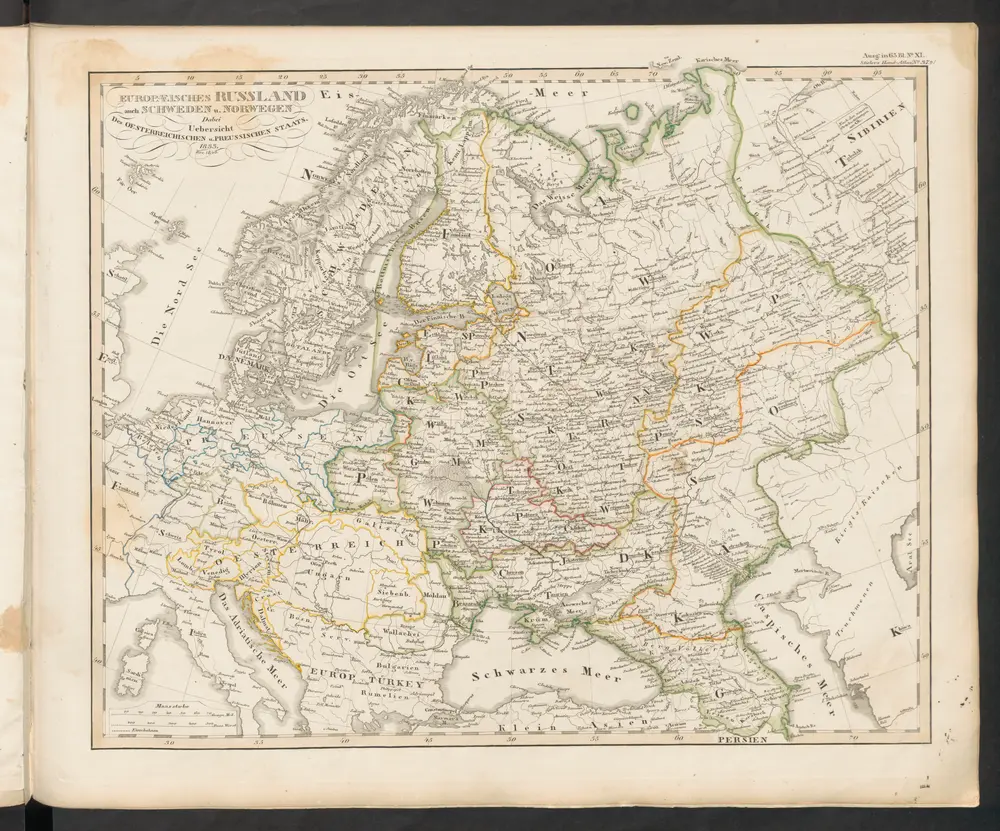
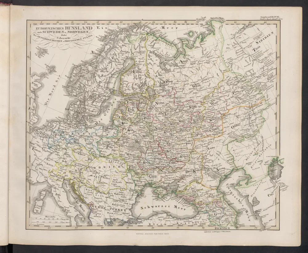
Europa mit politischer Begränzung der einzelnen Staaten

Hand-Atlas über alle Theile der Erde nach dem neuesten Zustande und über das Weltgebäude Stieler, Adolf bei Justus Perthes
$title$

Russia in Europe, Sweden, and Norway ; Map of Denmark; Map of Holland and Belgium.

from New general atlas.
$title$

Europa

Hand-Atlas über alle Theile der Erde und über das Weltgebäude Stieler, Adolf Justus Perthes
$title$

Europe.

1 : 40000000 Levasseur, Victor.
$title$

Europa recens descriptia. [Karte], in: Theatrum orbis terrarum, sive, Atlas novus, Bd. 1, S. 34.

1 Karte aus Atlas Blaeu, Joan Blaeu, Willem Janszoon
$title$

Ptolemeisch general Tafel

1 : 65000000 1 Karte : Holzschnitt ; 31 x 36 cm Ptolemaeus, Claudius [Sebastian Münster]
$title$

Karte von Europa

1 : 7500000 Berlin [etc.] : Ullstein
$title$

Karte von Europa in IV Blättern

1 : 6000000 Bär, J.C. ; Stülpnagel, Friedrich von Justus Perthes
$title$

Verbreitung und Vertheilung der Europaischen Vogel.

1 : 20000000 Berghaus, Heinrich
$title$

Europa

Schul-Atlas in 36 Karten Völter, Daniel Verlag der J.M. Dannheimer'schen Buchhandlung
$title$

Monde Connu Des Anciens.

1 : 32740000 Migeon, J.
$title$

Hyetographic or Rain Map of Europe

The physical atlas Johnston, Alexander Keith William Blackwood & Sons
$title$

Geographie des Mittel Alters

1 : 36360000 Afrika severní
$title$

Europa recens descripta [Karte], in: Le théâtre du monde, ou, Nouvel atlas contenant les chartes et descriptions de tous les païs de la terre, Bd. 1, S. 36.

1 Karte aus Atlas Blaeu, Willem Janszoon und Blaeu, Joan Blaeu, Willem Janszoon
$title$

Orbis veteribus notus

1 Karte : Kupferdruck ; 49 x 66 cm Anville; Santini apud Franciscum Santini
© MapTiler © OpenStreetMap contributors
How does it work?
These instructions will show you how to find historical maps online.
Getting started
Type the place name in the search box to find the exact location. You can further adjust the search by zooming in and out.
Zoom
Zoom in and out with the buttons or use your mouse or touchpad natively.
Exact Area tool
Click here and draw a rectangle over the map to precisely define the search area.
Set filters
Narrow your search with advanced settings, such as Years (from/to), Fulltext, Publisher, etc.
Results
See the results of your search on the right side. You can scroll down to find more maps of this location.
?

Download OldMapsOnline Mobile