编目地图
Strassen- und Eisenbahnkarte des oesterreichischen Kaiserthumes

完整标题:Strassen- und Eisenbahnkarte des oesterreichischen Kaiserthumes
描述:1866
发布日期:1866
出版商:K.K. Militärisch-Geografisches Institut, Karten-Evidenthaltungs-Abteilung
物理尺寸:20 x 30 cm
地图比例尺:1:864 000
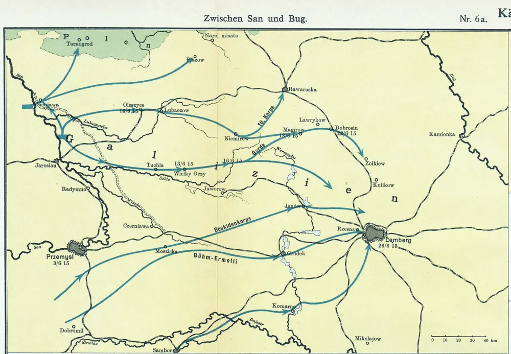
Nr. 6a. Kämpfe in Ostgalizien. Zwischen San und Bug
1915
n/a
1800
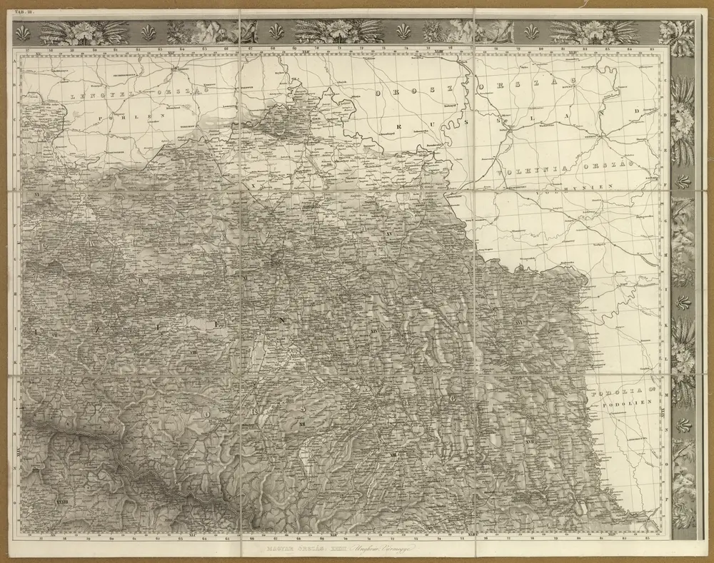
Pohlen, Rußland, Gallicien, Wolhinien, Podolien. Ungarn. Ungvárer Comitat
1838
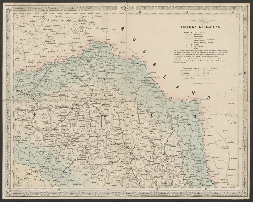
Strassen- und Eisenbahnkarte des oesterreichischen Kaiserthumes
1866
Schaller, G.
1:864k
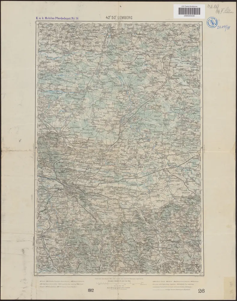
42°50° Lemberg / K.u.k. Militärgeographisches Institut
1912
K.u.k. Militärgeographisches Institut
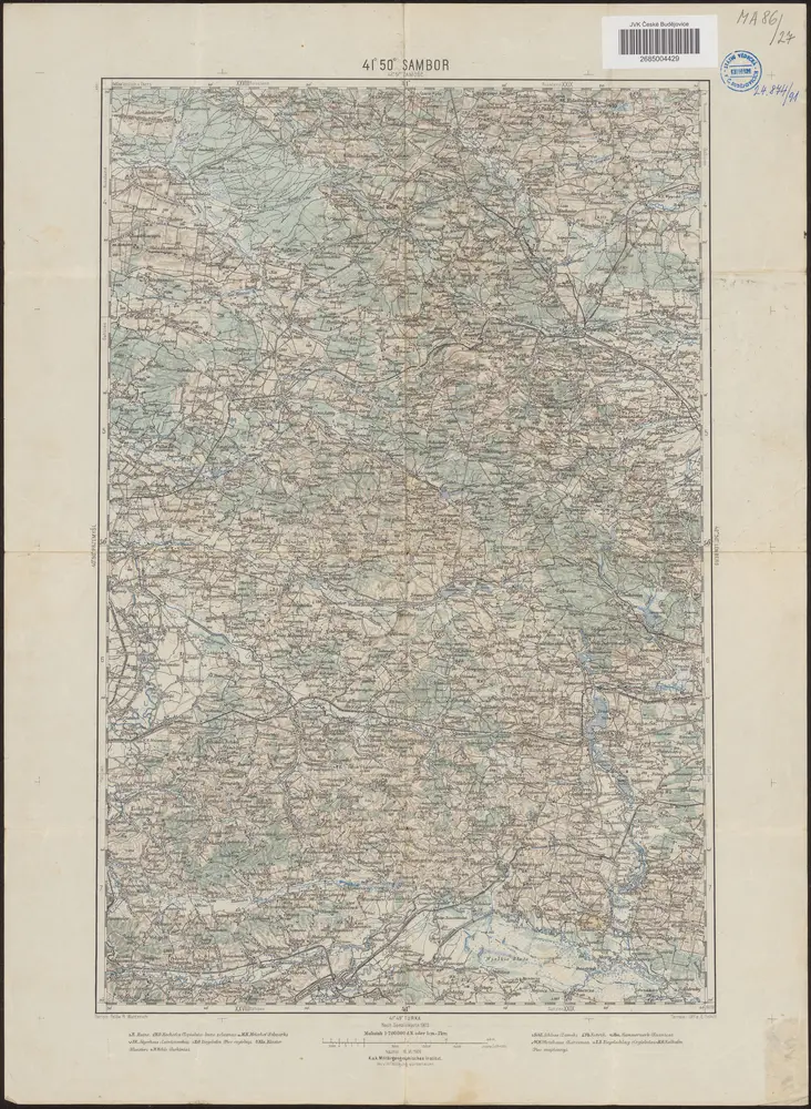
41°50° Sambor / K.u.k. Militärgeographisches Institut
1909
K.u.k. Militärgeographisches Institut
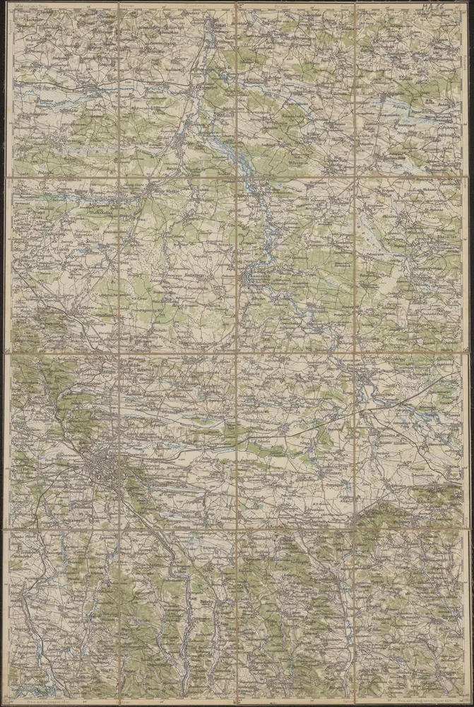
42°50° Lemberg
1894
K.u.k. Militärgeographisches Institut
n/a
1800
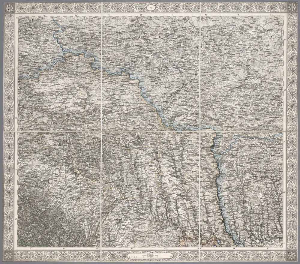
V, uit: General-Karte des oesterreichischen Kaiserstaates mit einem grossen Theile der angrenzenden Länder / durch Josef Scheda ... bearb. und hrsg
1856
[Wien : K.K. Militärisch-Geografisches Institut]
1:576k
n/a
1800