Mapa catalogado
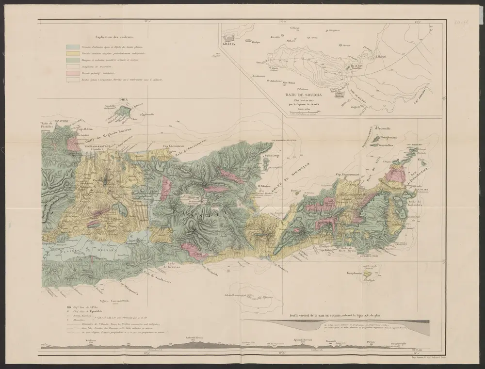
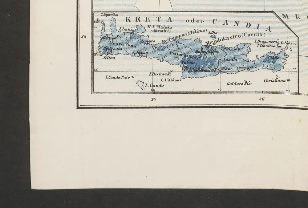
Carte orographique et géognostique de l'île de Crête

Título completo:Carte orographique et géognostique de l'île de Crête
Año de ilustración:1868
Fecha de publicación:1868
Editorial:R. Janson
Tamaño físico:20 x 30 cm
Escala del mapa:1:300 000
Carte orographique et géognostique de l'île de Crête (H KPHTH)
1868
Raulin, Victor
1:300k
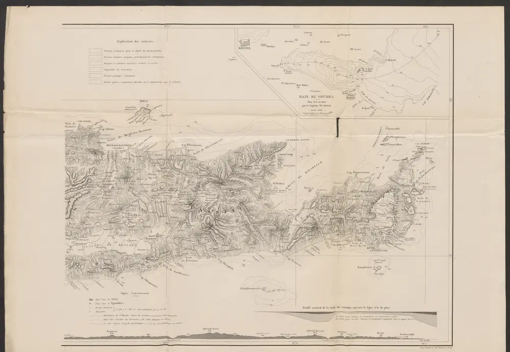
Carte orographique et géognostique de l'île de Crête
1868
Raulin, Victor
1:300k
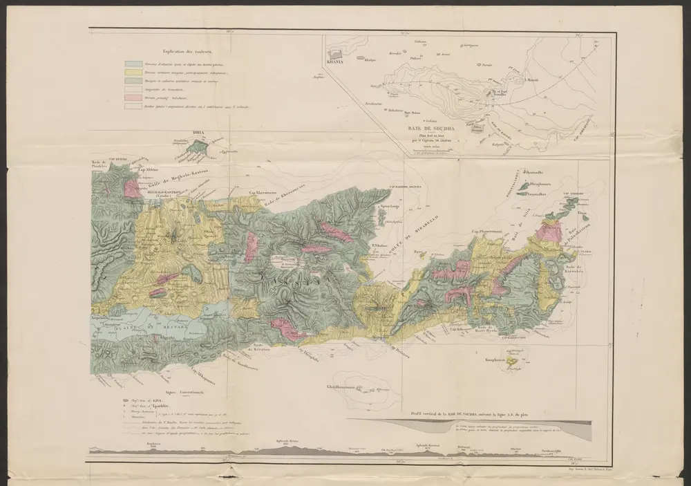
Carte orographique et géognostique de l'île de Crête
1868
Raulin, Victor
1:300k
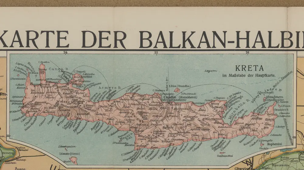
[Kreta]
1912
[Nebenkarte Kreta] Ethnographische Karte der europäischen Türkei und ihrer Dependenzen zu Anfang des Jahres 1877
1877
Sax, Carl

Atlas minor, mapa ze strany: 575
1610
Mercator Gerhard
Candia cum insulis aliquot circa Græciam
1630
Mercator; Hondius
Candia cum insulis aliquot circa Græciam
1589
Mercator
n/a
1728
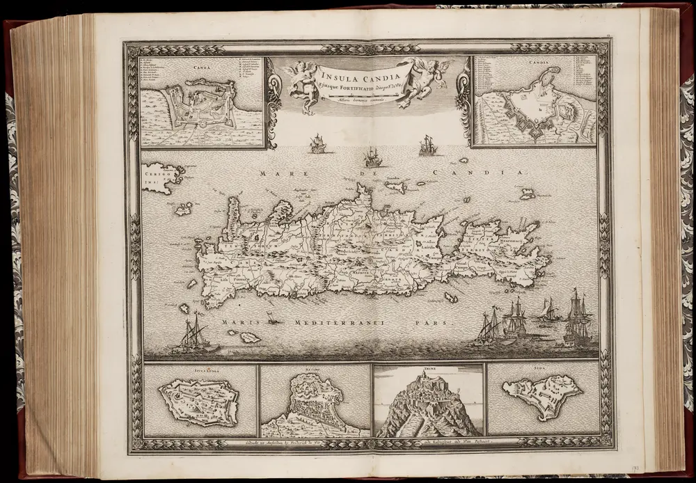
Insula Candia ejusque fortificatio / edita per F. de Wit
1680
Frederick de Wit 1630-1706
1:475k