Carte cataloguée
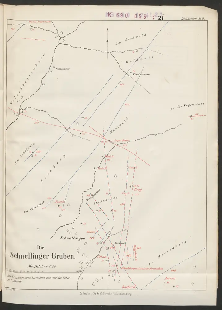
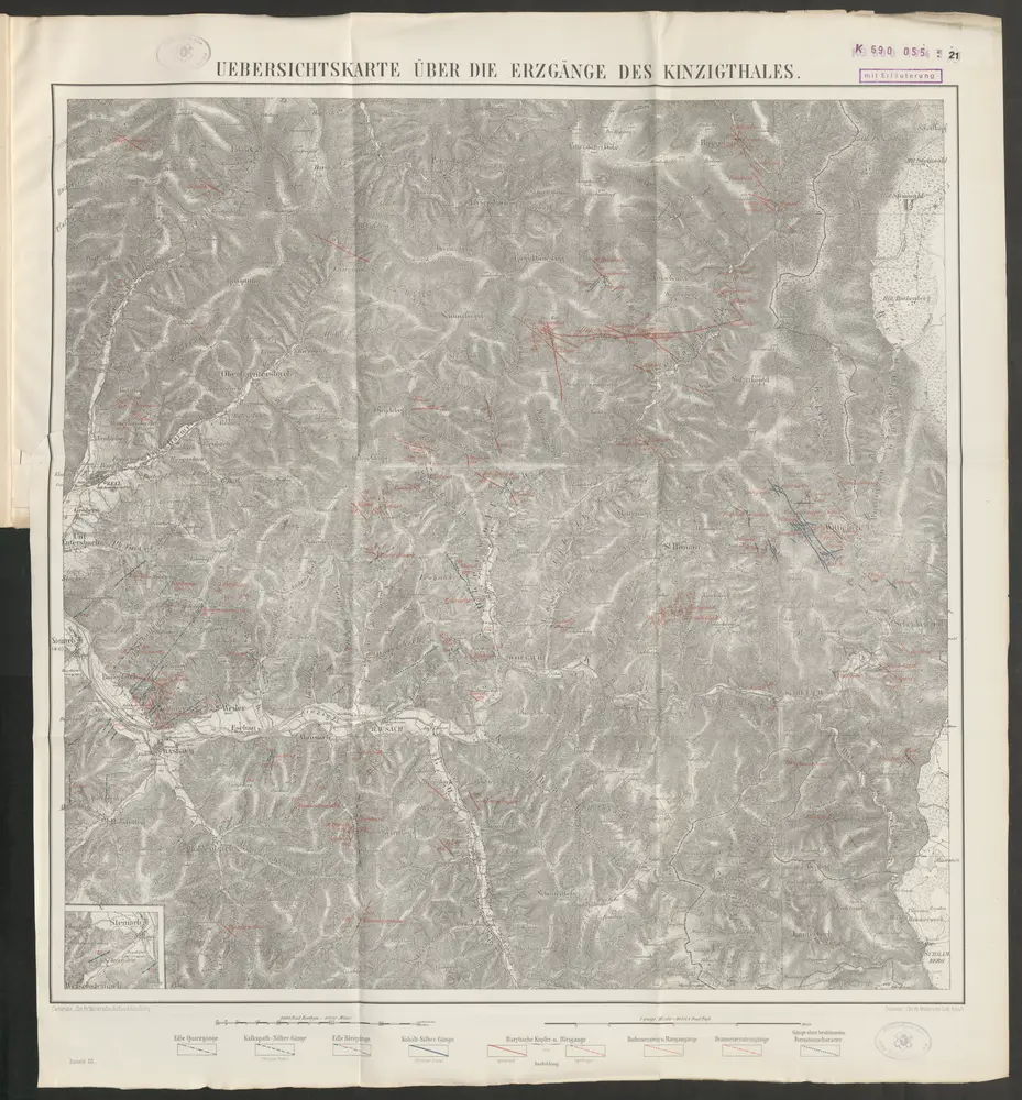
Übersichtskarte über die Erzgänge des Kinzigthales

Titre complet:Übersichtskarte über die Erzgänge des Kinzigthales
Année de l'image:1865
Date de publication:1865
Éditeur:Chr. Fr. Müller'sche Hofbuchhandlung
Taille physique:20 x 30 cm
Échelle de la carte:1:8 000
Übersichtskarte über die Erzgänge des Kinzigthales
1865
Chr. Fr. Müller'sche Hofbuchhandlung
1:8k
Meßtischblatt [7714] : Haslach, 1881
1881
1:250k
Übersichtskarte über die Erzgänge des Kinzigthales
1865
Chr. Fr. Müller'sche Hofbuchhandlung
1:50k
Meßtischblatt [7614] : Zell A/H, 1935
1935
1:250k
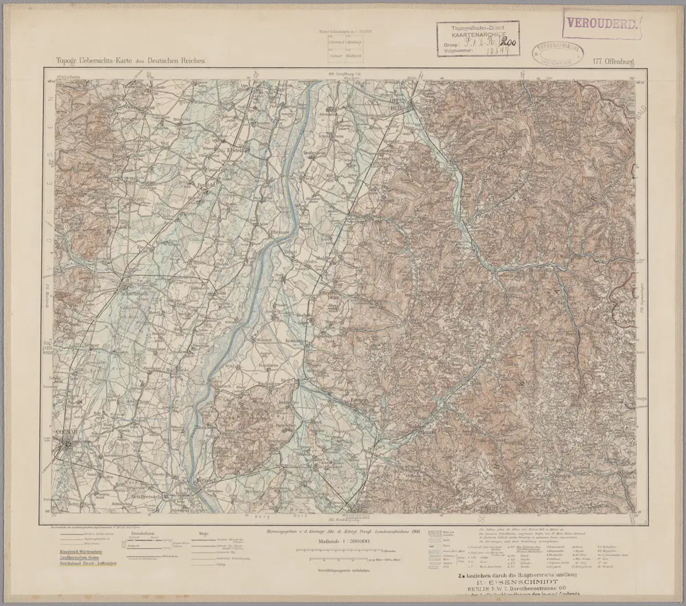
177. Offenburg, uit: Topographische Uebersichtskarte des Deutschen Reiches / herausgegeben v. d. Kartogr. Abt. d. Königl. Preuß. Landesaufnahme
1899
Königlich Preußische Landesaufnahme. Kartographische Abtheilung
1:200k
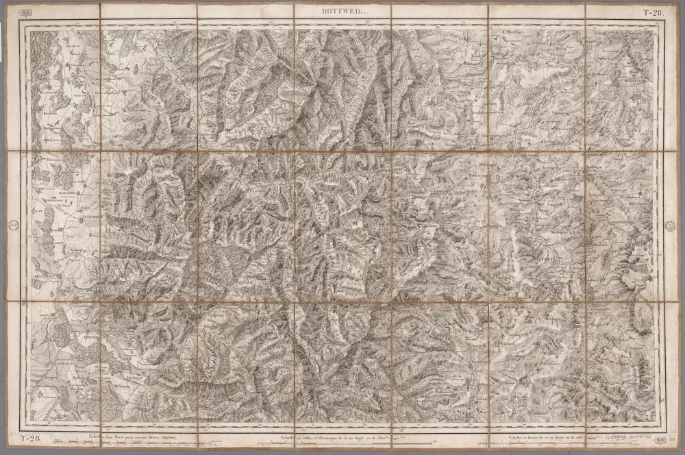
Rottweil
1818
[Paris : Depôt de la Guerre]
1:100k
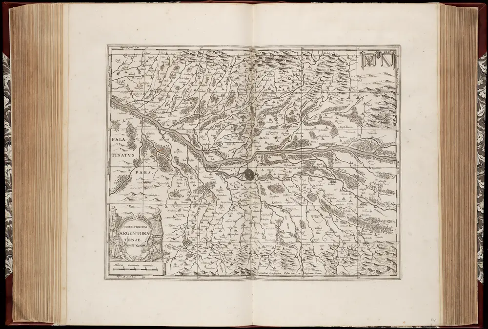
Territorium Argentoratense / apud Janssonio-Waesbergios, Mosem Pitt et Stephanum Swart
1681
Johannes Janssonius van Waesberge -1681?; Moses Pitt ca. 1654-1696; Stephanus Swart
1:103k
Alasatia superior et inferior III. tabulis delineata, 2
1730
s.n.
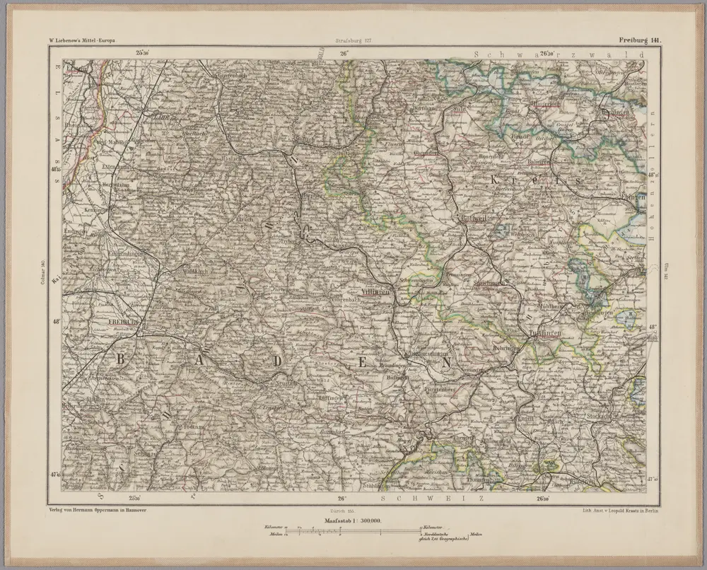
Freiburg 141, uit: [W. Liebenow's Special-Karte von Mittel-Europa]
1870
Johannes Wilhelm Liebenow 1822-1897
1:300k
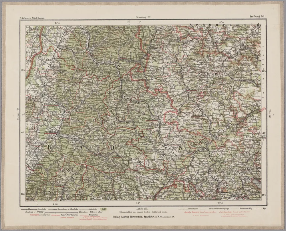
Freiburg 141, uit: Special-Karte von Mittel-Europa / nach amtlichen Quellen bearbeitet von W. Liebenow
1899
Johannes Wilhelm Liebenow 1822-1897
1:300k