Mapa catalogado
Carta d'Italia alla scala di 1 a 1 000 000
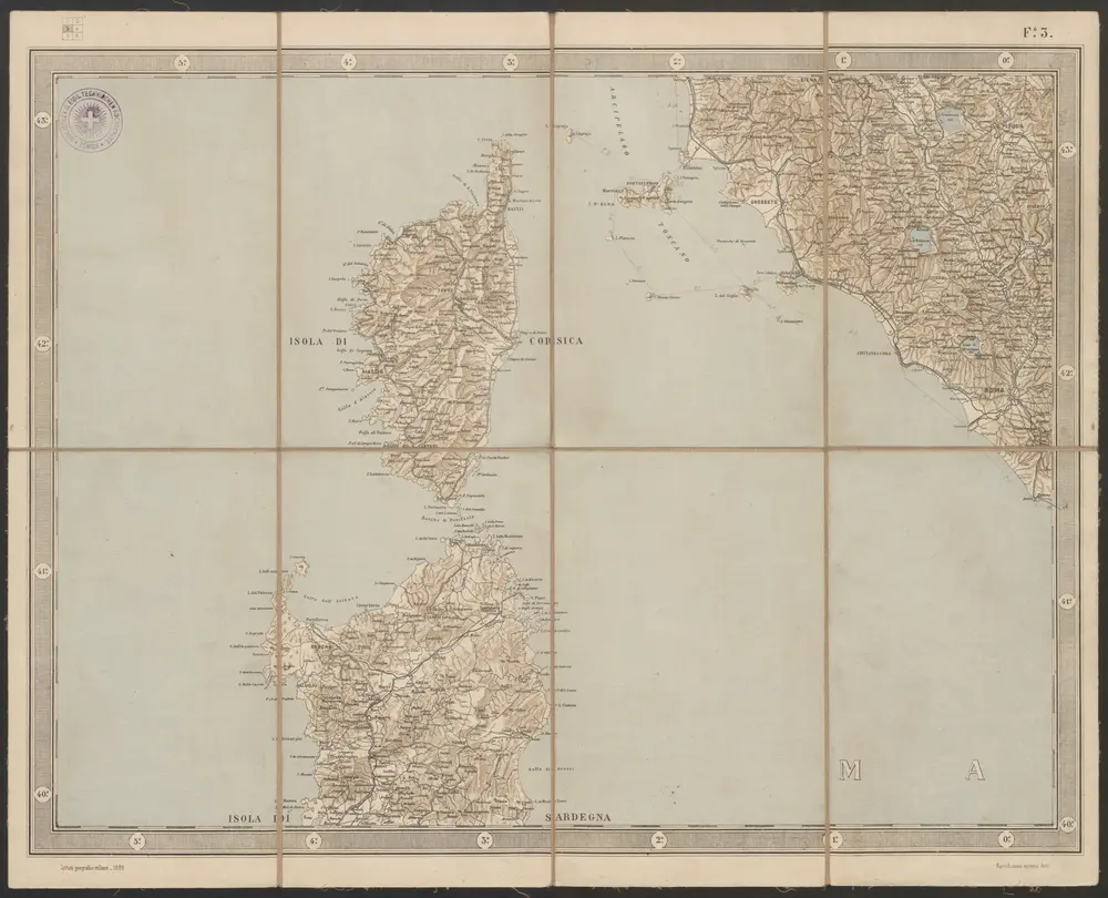

Título completo:Carta d'Italia alla scala di 1 a 1 000 000
Año de ilustración:1885
Fecha de publicación:1885
Editorial:Istituto Geografico Militare
Tamaño físico:20 x 30 cm
Escala del mapa:1:1 000 000
Corscica
1630
Mercator; Hondius
Corsica
1573
Ortelius
Carte de l'isle de Corse
1770
Vezou; Lattré; Saint Angelo
A map of the island of Corsica
1757
1:1m

Atlas minor, mapa ze strany: 543
1610
Mercator Gerhard
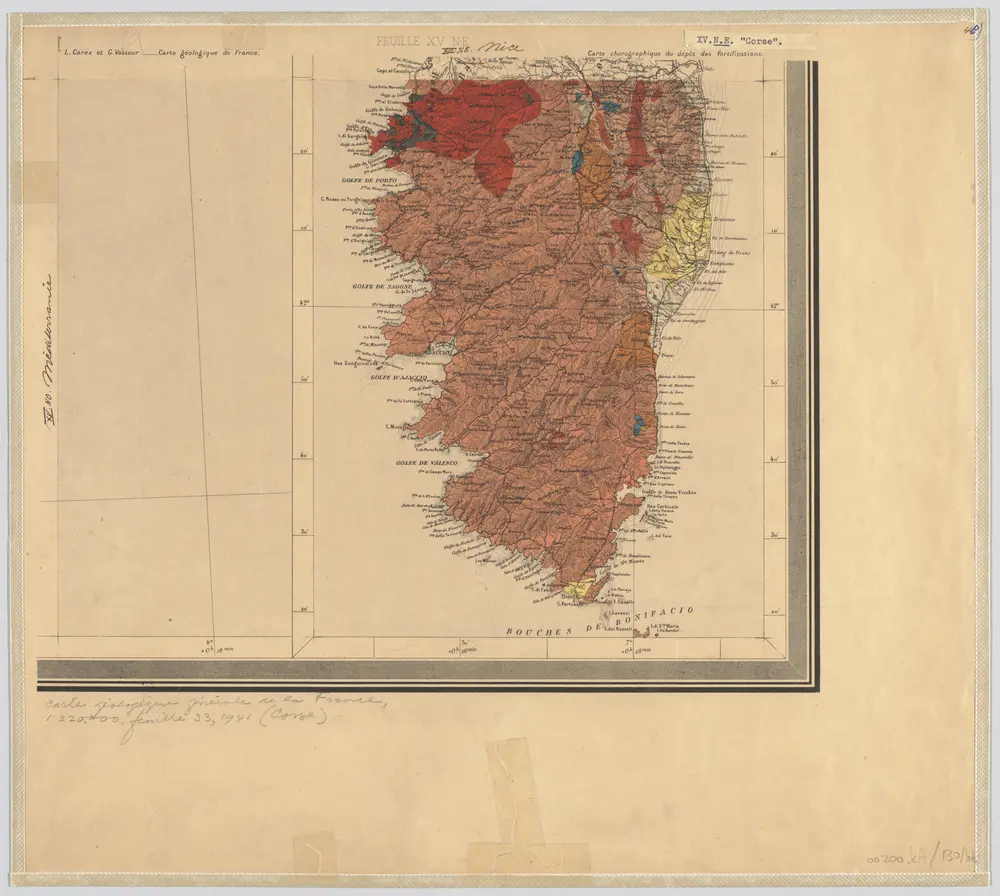
48) XV.N.E. ''Corse'', uit: Carte géologique de France
1885
[S.l : s.n.]
1:500k
Corsika
1830
Gleditsch
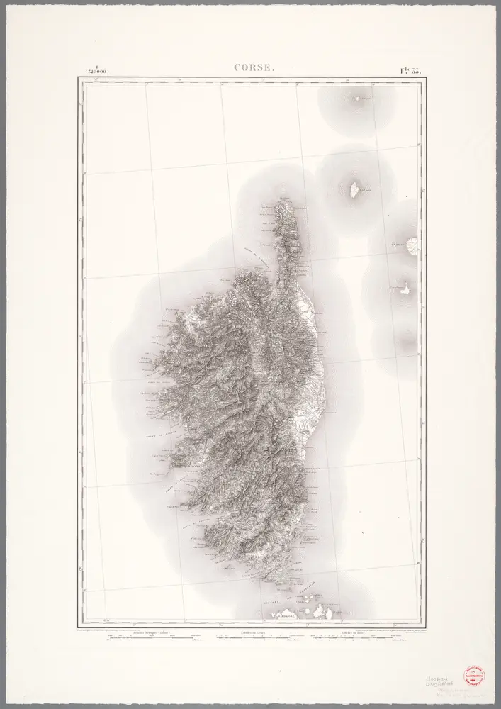
Corse
1976
[Paris : IGN]
1:320k
n/a
1728
n/a
1799