Maps of Třebešov

Trzebeschow (Třebessow) - c8023-1-001 - Kaiserpflichtexemplar der Landkarten des stabilen Katasters
1 : 2880
Trzebeschow (Třebessow) - c8023-1-002 - Kaiserpflichtexemplar der Landkarten des stabilen Katasters
1 : 2880
Liebel (Lible) - c3986-1-001 - Kaiserpflichtexemplar der Landkarten des stabilen Katasters
1 : 2880
Liebel (Lible) - c3986-1-002 - Kaiserpflichtexemplar der Landkarten des stabilen Katasters
1 : 2880
Domaschin - c1430-1-002 - Kaiserpflichtexemplar der Landkarten des stabilen Katasters
1 : 2880
Domaschin - c1430-1-001 - Kaiserpflichtexemplar der Landkarten des stabilen Katasters
1 : 2880
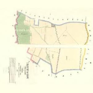
Ledetz (Ledcka) - c8401-1-001 - Kaiserpflichtexemplar der Landkarten des stabilen Katasters
1 : 2880
Ledetz (Ledcka) - c8401-1-002 - Kaiserpflichtexemplar der Landkarten des stabilen Katasters
1 : 2880
[Kartenblatt]
1 : 25000 Rychnov nad Kněžnou (Česko : oblast) Reichsamt für Landesaufnahme

Gradkartenblatt
1 : 25000 Rychnov nad Kněžnou-oblast (Česko) Böhm, Karl
III. vojenské mapování 3956/2
1 : 25000
III. vojenské mapování 3956/2
1 : 25000
Mapa svěřenských statků Rychnova a Černíkovic
1 : 43200 Rychnov nad Kněžnou-oblast (Česko) Barth, A.
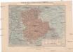
Okres Rychnov nad Kněžnou

III. vojenské mapování 3956
1 : 75000
Rychnov n. Kněž
1 : 75000 Rychnov nad Kněžnou (Česko : oblast) Vojenský zeměpisný ústav
Rychnov n. Kněž
1 : 75000 Choceň (Česko : oblast) Vojenský zeměpisný ústav
Reichenau und Tyništ
1 : 75000 Choceň (Česko : oblast) Fenzl K. u. k. militär-geographisches Institut
Reichenau und Tyništ
1 : 75000 Choceň (Česko : oblast) Fenzl K. u. k. Militärgeographisches Institut
Reichenau und Tyništ
1 : 75000 Rychnov nad Kněžnou (Česko : oblast) K. u. k. Militärgeographisches Institut
Mapa okresního hejtmanství Rychnovského
1 : 100000 Rychnov nad Kněžnou-oblast (Česko) Erben, Josef nákladem Karla Janského
Mapa okresního hejtmanství Rychnovského

Mapa okresního hejtmanství Rychnovského

Podrobná mapa Království českého
1 : 100000 Rychnov nad Kněžnou (Česko : oblast) Srp, Jan Jaroslav Bursík
Československo v mapách

Politický okres novoměstský
Nové Město nad Metují-oblast (Česko) Srp, Jan Luther, Th. Jos. R. Vilímek
Camp que l'armée de Sa Majesté l'imperatrice sous les ordres du prince Picolomini á occupe pour observer la retraite de l'armée prussienne sous le comandement du comte Swerin
1 : 110000 Hradec Králové-oblast (Česko)
Karte des Schulbezirkes Senftenberg
1 : 150000 Žamberk-oblast (Česko) Weiner, J.
Generální mapa okresního hejtmanství Nov. Města nad Metují
1 : 220000 Nové Město nad Metují-oblast (Česko) Wagner, Jan Eduard F. Kytka