Maps of Mladošovice

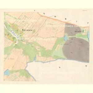
Petrowitz - c5739-1-003 - Kaiserpflichtexemplar der Landkarten des stabilen Katasters
1 : 2880
Petrowitz - c5739-1-002 - Kaiserpflichtexemplar der Landkarten des stabilen Katasters
1 : 2880
Petrowitz - c5739-1-005 - Kaiserpflichtexemplar der Landkarten des stabilen Katasters
1 : 2880
Petrowitz - c5739-1-001 - Kaiserpflichtexemplar der Landkarten des stabilen Katasters
1 : 2880
Petrowitz - c5739-1-004 - Kaiserpflichtexemplar der Landkarten des stabilen Katasters
1 : 2880
Hospodářská mapa polesí Ledenice 1
Hospodářská mapa polesí Ledenice 1

Hospodářská mapa polesí Ledenice 1

Hospodářská mapa polesí Ledenice 1
1 : 2880
Hospodářská mapa polesí Ledenice 1
1 : 2880
Statek Borovany-revír Ledenice 1

Ledenice o. České Budějovice 1
1 : 2880
Mapy činžovních pozemků IV. sekce třeboňského velkostatku pro obce: Dolní Miletín, Doubravice, Doudleby, Hodovice, Horní Miletín, Ledenice, Nový Dvůr, Petrovice, Slavošovice, Štěpánovice, Zborov 1

Plán rožšíření choru v mladošovickém kostele 1

Vrcov o. České Budějovice 1
1 : 2880
Ledenice o. České Budějovice 1
1 : 2880
Plán budov mladošovické fary 1
1 : 100
Plán mladošovického kostela 1
1 : 100
Hospodářská mapa polesí Ledenice 1
1 : 5760
Porostní mapa polesí Ledenice 1
1 : 15000
Hospodářská mapa polesí Ledenice 1
1 : 2880
Hospodářská mapa polesí Ledenice 1
1 : 2880
Hospodářská mapa polesí Ledenice 1

Porostní mapa polesí Ledenice 1

Porostní obrysová mapa polesí Ledenice 1
1 : 10000
Porostní mapa polesí Ledenice 1
1 : 10000
Porostní mapa polesí Ledenice 1
1 : 10000
Porostní mapa polesí Ledenice 1
1 : 10000
Porostní mapa polesí Ledenice 1
1 : 10000