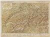
Maps of Switzerland

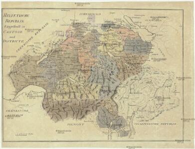
Helvetische Republik
1 : 1665000 Švýcarsko
Reisekarte der Schweiz
1 : 750000 Švýcarsko Füssli
Suisse.
1 : 1020000 Monin, C.V.
Carte scolaire de la Suisse
1 : 600000 Švýcarsko Kümmerly, H. Kümmerly & Frey
Switzerland.
1 : 1300000 Tanner, Henry S.
<<Die>> Schweitz oder Helvetien
1 : 1500000 1 Karte H. Keller fec. 1799 [Orell, Füssli und Compagnie], [Zürich]
Carte générale de la Suisse oder Die Helvetische Republik in XIX Cantone eingetheilt
1 Karte : Kupferdruck ; 45 x 63 cm Walch Johann Walch
Der Helvetischen Republik neue Cantons und Districts Eintheilung
1 Karte : Typometrie ; 37 x 49 cm Haas Wilhelm Haas
Neu-Helvetien
1 Karte : Kupferdruck ; 9 x 11 cm s.n.
Alt Helvetien
1 Karte : Kupferdruck ; 9 x 11 cm s.n.
Helvetiorum foedus inde ab 1513
Schweiz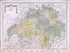
Karte von der Schweiz
1 Karte : Kupferdruck ; 45 x 63 cm bey Fuessli & Comp
Neüe Charte von Helvetien
1 Karte : Kupferdruck ; 45 x 63 cm bey Fuessli & Comp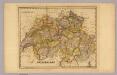
Switzerland.
1 : 1180000 DeSilver, Robert
La Suisse
1 Karte : Kupferdruck ; 46 x 63 cm Bonne; Lattré chés Lattré grav.r ord. de Mons.gr le Dauphin ruë S. Jacques à la ville de Bordeaux
Switzerland.
1 : 950000 Hughes, William
Nova Helvetiæ tabvla
1 Karte : Kupferdruck ; 33 x 46 cm Hondius ex officina Iudoci Hondii F
Switzerland.
1 : 1300000 Finley, Anthony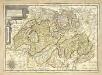
Carte generale des treze cantons de Suisse, Vallay ligues Grise, Maison-Dieu et Valtoline
1 Karte : Kupferdruck ; 35 x 49 cm Tassin s.n.
Carte genérale de la Suisse, oder, Die Helvetische Republik in XIX Cantone eingetheilt
1 : 529000 Švýcarsko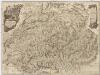
Neue Karte von der Schweiz oder Helvetien in die XIII Eidgenossenschaften, ihre Bundsverwandten und Unterthanen eingetheilt
1 : 543100 Švýcarsko Faden, W. F.A. Schraembl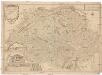
Les Suisses leurs sujets et leurs alliez
1 : 500000 Švýcarsko Fer, Nicolas de Dant Dant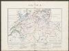
Historischer Atlas der Schweiz
1460 - 1501 Mandrot, Louis-Alphonse de Deutsche Buchhandlung von J. Kessmann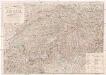
Post- und Reise-Karte der Schweiz nebst Theilen der angraenzenden Staaten
Švýcarsko Pfeiffer, J. B. Max Ravizza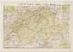
[Kaart], uit: Suisse
1 : 400000 Annotatie geografische gegevens: Bijkrt.: Genève; Zürich; Basel; Bern Paris : Taride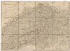
Helvetien und Wallis
Švýcarsko Mechel, Christian von Weiss, Johann Heinrich im Verlage des Kunst u. Industrie Comptoirs
Carte générale de la Suisse
1 Karte : Kupferdruck ; 45 x 63 cm Mechel s.n.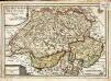
Les XIII. cantons des Suisses leurs alliez et leurs sujets
1 Karte : Kupferdruck ; 22 x 32 cm Fer; Inselin chez l'auteur dans l'isle du Palais a la sphere royale