Maps of British Isles

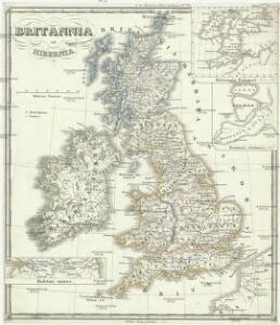
Britania et Hibernia
1 : 3000000 Irsko, ostrov Spruner, Karl von Justus Perthes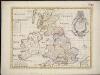
A new map of the Brittish Isles shewing their antient people, cities, and towns of note, in the time of the Romans
1 : 2846000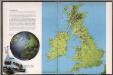
The British Isles
1 : 3000000 Debenham, Frank
Die Britischen Inseln nach ihrer kirchlichen Eintheilung bis zur Reformation.
1 : 3000000 Spruner von Merz, Karl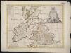
A new map of the Brittish Isles shewing their present genl. divisions, cities, and such other towns, or places, as answer to the towns of note in the time of the Romans
1 : 2851200
Magnae Britanniae et Hiberniae Tabula
1 : 2300000
Die Britischen Inseln 1066 bis 1485.
1 : 3100000 Spruner von Merz, Karl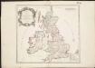
Britannicae Insulae in quibus Albion seu Britannia Major, et Ivernia seu Britannia Minor ...
1 : 2300000
Regnorum Magnae Britanniae et Hiberniae mappa geographica
1 : 2500000 Irsko Mayer, Tobias Homan[n]ianis Heredibus
REGNORVM MAGNAE BRITANNIAE ET HIBERNIAE MAPPA GEOGRAPHICA
1 : 2500000 Flandry Mayer, Tobias edentib[us] Homan[n]ianis Heredibus
British Isles.
1 : 2500000 Andree, Richard; Times (London, England)
Großbritannien und Irland
1 : 1000000 Irsko Velhagen & Klasing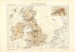
Atlas für Industrie- und Handelsgeographie: Für commercielle und technische Lehranstalten, für Kaufleute und Industrielle

La grande Bretagne ou les Royaumes d'Angleterre et d'Ecosse comme aussi le Royaume d'Irlande
1 : 2300000 Anglie Lotter, Matthäus Albrecht T. C. Lotter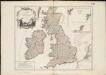
Les Isles Britanniques, qui comprennent les Royaumes d'Angleterre, d'Ecosse et d'Irlande
1 : 2000000
Die Britischen Inseln seit 1485.
1 : 3000000 Spruner von Merz, Karl
Britische Inseln
Volksschul-Atlas über alle Teile der Erde Lange, Henry Druck und Verlag von Georg Westermann
Soubor němých map pro gymnasia a odborné školy

La Grande Bretagne ou les royaumes d'Angleterre et d'Ecosse comme aussi le royaume d'Irlande
1 : 2300000 Anglie Lotter, Tobias Conrad Lotter, Matthäus Albrecht par Tobie Conrad Lotter
[Großbritannien und Irland]
Irsko
Die Britischen Inseln
E. von Sydow's Schul-Atlas in sechs und dreissig Karten Sydow, Emil von bei Justus Perthes

Carte de l' Angleterre
1 : 5900000 Velká Británie Delamarche, Francois Alexander
Allgemeine Postkarte von Gross Britanien und Ireland zur Uebersicht
Irsko Stenger, Johann im von Reillyschen Landkarten und Kunstwerke Verschleiss Komptoir
Atlas für Handel und Industrie: Für Kaufleute, Fabrikante u. Gewerbetreibende, Handlungs- u. Gewerbe-Schulen


[Grossbritannien; England, Scotland und Ireland]
Geographischer Atlas über alle Theile der Erde Ziegler, Jakob Melchior Verlag von Joh. Wurster um Comp.

Welká Britanie a Iry