Maps of England
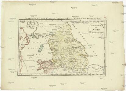
Postkarte von Nord England
Anglie severní Ponheimer, Kilian im von Reillyschen Landkarten und Kunstwerke Verschleiss Komptoir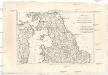
Royaume d'Angleterre
1 : 1950000 Anglie severní Bonne, Rigobert André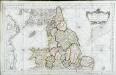
Partie septentrionale de l'Angleterre
1 Karte : Kupferdruck ; 53 x 84 cm s.n.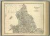
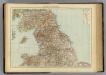
England and Wales (northern sheet).
1 : 887000 Johnston, Alexander Keith
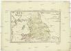
Parte settentrionale dell' Inghilterra, e del principato di Galles
1 Karte : Kupferdruck ; 30 x 40 cm Zatta; Zuliani; Pitteri presso Antonio Zatta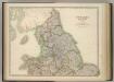
England and Wales (northern sheet).
1 : 887000 Johnston, W. & A.K.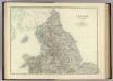
England and Wales (northern sheet).
1 : 887000 Johnston, Alexander Keith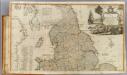
England, Wales (north)
1 : 575000 Robert Laurie & James Whittle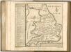
England, Wales N.
1 : 1000000 Andree, Richard; Times (London, England)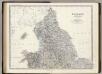
England, Wales N.
1 : 887000 Johnston, Alexander Keith, 1804-1871
A new mapp of the kingdome of England
Anglie Overton, John by Nicolas Visscher
Geological map England, Wales.
1 : 1774080 Letts, Son & Co.
Railway, statistical England, Wales.
1 : 1774080 Letts, Son & Co.
The Inland Navigation, Rail Roads, Geology and Minerals of England & Wales.
1 : 1090000 Arrowsmith, John
England, Wales.
1 : 1480000 Hall, S. (Sidney)
England.
1 : 1100000 Arrowsmith, John
England and Wales. Coal Resources of the World.
1 : 1250000 Strahan, A.
England.
1 : 1050000 Thomson, John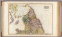
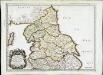
England, northern part.
1 : 755000 Pinkerton, John, 1758-1826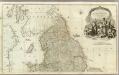
England and Wales (Northern section)
1 : 675000 Rocque, John
Tractus regni Angliæ septentrion
1 Karte : Kupferdruck ; 47 x 57 cm Wit ex officina J. Cóvens et C. Mortier
Tractus regni Angliæ septentrion
1 Karte : Kupferdruck ; 47 x 57 cm Wit Frederick de Wit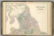
England and Wales.
1 : 900000 Hughes, William
England and Wales Railway Map (northern half).
1 : 1110000 Sharpe, J.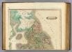
England (north)
1 : 980000 Lizars, Daniel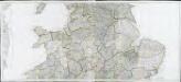
Partie meridionale de la Grande Bretagne, 1
6 Blätter : 47 x 107 cm T. Jeffereys
E. ports Gt. Brit.
1 : 1500000 Philip, George
Ancien royau.me de Northumberland, aujourdhuy provinces de Nort
1 Karte : Kupferdruck ; 37 x 49 cm Sanson; Fortin chez Fortin rue de la Harpe