Maps of Metropolitan France
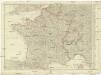
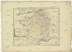
[Francie]
1 : 2100000 Francie Müller, Franz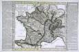
Carte physyque de la France
1 Karte : Kupferdruck ; 30 x 35 cm, Bildgrösse 34 x 53 cm Pasquier; Chalmandrier; Verrier; Denis chez l'auteur, chez Mr. Pasquier ruë St. Jacques vis-a-vis le college de Louis le grand, chez Verrier géographe du roi ruë des 4 fils aux marais
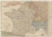
Karte von Frankreich
1 : 4260000 Francie Amon, Anton J. Riedls Kunsthandlung
Karte von Frankreich
1 : 4260000 Francie Amon, Anton J. Riedls Kunsthandlung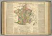
France.
1 : 3900000 Lavoisne, M.
Nieuwe kaart van Vrankrijk, volgens de nieuwste waarnemingen van de Koningl. Parijsche Academie
1 : 5750000 [S.l.] : [s.n.]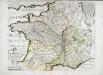
Carte des rivieres de la France
1 Karte : Kupferdruck ; 41 x 51 cm Sanson; Mariette chez P. Mariette rue Sainct Iacques a l'Esperance
A new map of France, in which the post stages are exactly express'd
1 Karte : Kupferdruck ; 46 x 57 cm Rocque; Kitchin s.n.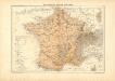
Atlas für Industrie- und Handelsgeographie: Für commercielle und technische Lehranstalten, für Kaufleute und Industrielle
Karte von Frankreich
1 : 2056000 Francie Mollo, Tranquillo T. Mollo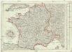
Karte von Frankreich
1 : 2056000 Francie Müller, Franz T. Mollo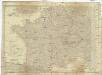
Karte von Frankreich
1 : 2060000 Francie Mollo, Tranquillo T. Mollo und Comp.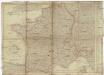
Karte von Frankreich
1 : 2060000 Francie Mollo, Tranquillo T. Mollo und Comp.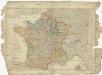
Karte von Frankreich
1 : 2060000 Francie Mollo, Tranquillo T. Mollo und Comp.
Frankreich
1 : 541000 Francie Schönfelder, F. Edl. von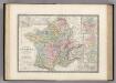
Les Gaules.
1 : 3264000 Levasseur, E.
Composite: Frankreich in 4 Blattern.
1 : 1500000 Vogel, C.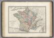
France en 1789.
1 : 3000000 Levasseur, E.
Frankreich
1 : 3640000 Francie Mollo, Florian Florian Mollo
Frankreich
1 : 3640000 Francie Florian Mollo

Allgemeine Postkarte von Frankreich zur Uebersicht
Francie Müller, Franz im von Reillyschen Landkarten und Kunstwerke Verschleiss Komptoir
Frankreich

Regni Galliae seu Franciae et Navarrae...

La France
1 Karte : Kupferdruck ; 51 x 64 cm Jaillot; Cordier chez le Sr. Jaillot
Frankreich

Les routes exactes des postes du Royaume de France
1 : 2600000 Aug. Vindel. : Matth. Seutter excud.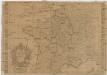
La France
1 : 2850000 Francie Baillieul, Nicolas Daudet, Jean-Louis Daudet
![[Francie]](https://images-2.georeferencer.com/images/iiif/058124123500/full/,300/0/native.jpg)

