Maps of Germany
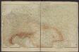
Postkarte durch ganz Deutschland, Italien, Frankreich, Niederland, Preussen, Polen und Ungarn
Florencie (Itálie) Mollo, Tranquillo T. Mollo
Neue und vollkomene Postkarte durch ganz Teutschland
Francie Artaria
Sbírka map a diagramů použitých na mírových konferencích v Paříži v letech 1919 - 1920
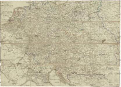
Géographie. croquis n3, Europe centrale
1 : 2500000 Molard, Jules, Commandant [Paris] : Service Géographique de l'Armée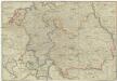
Postkarte durch ganz Teutschland, Italien, Frankreich, Niederland, Preussen, Polen und Ungarn
1 : 2100000 Evropa střední Mollo, Tranquillo T. Mollo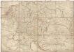
Postkarte durch ganz Teutschland, Italien, Frankreich, Niederland, Preussen, Polen und Ungarn
1 : 2100000 Evropa střední Mollo, Tranquillo T. Mollo & Comp.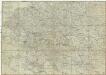
Postkarte durch ganz Teutschland, Italien, Frankreich, Niederland, Preussen, Polen und Ungarn
1 : 2100000 Evropa jihovýchodní Mollo, Tranquillo chez T. Mollo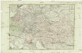
Neue und vollkomene Postkarte durch ganz Deutschland
Florencie (Itálie) Mansfeld, Johann Ernst Artaria & Co.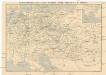
Eisenbahn-Routen-Karte von Mittel-Europa
Evropa střední Ritter, Julius R. v. Waldheim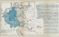
Nr. 8a. Die Germanisierung des Ostens
Ostmitteleuropa Deutsche, Siedlung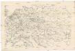
Eisenbahnkarte von Mittel-Europa
1 : 2560000 Evropa střední
Die Deutschen Bundesstaaten, das Kaiserthum Oesterreich, das Königreich Preussen, die Schweiz, das Kgr. Belgien, das Kgr. der Niederlande u. die angrenzenden Länder von 1792 bis zur Gegenwart
1 : 7350000 Mitteleuropa
Österreich
1 : 7500000 Rakousko F. Tempsky
Europe Centrale.
1 : 4100000 Montemont, A.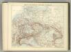
Carte Politique de L'Europe Centrale.
1 : 3600000 Jouvet et Cie.
L'Allemagne 1437 a 1612.
1 : 6300000 Houze, Antoine Philippe
Oesterreich in den Jahren 1564-1795
Evropa střední Gindely, Antonín F. Tempsky
Oesterreich im Jahre 1564, 1720, 1795.
Rakousko Benecke Bormann, E. F. Tempsky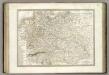
Allemagne.
1 : 3300000 Lapie, M. (Pierre), 1779-1850
L'Allemagne 1024 a 1137.
1 : 6300000 Houze, Antoine Philippe
Central-Europa
Mitteleuropa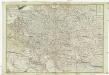
Neue und vollkomene Postkarte durch ganz Teutschland
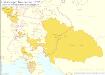
1 : 2100000 Evropa jihovýchodní bey Artaria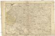
Neue und vollkomene Postkarte durch ganz Teutschland
1 : 2100000 Evropa jihovýchodní Artaria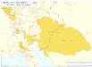
Habsburger Monarchie 1748 nach dem Frieden von Aachen
Österreich Kunz, Andreas ; Moeschl, Joachim Robert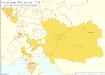
Habsburger Monarchie 1772 nach der ersten polnischen Teilung
Österreich, Teilung Polens <1772> Kunz, Andreas ; Moeschl, Joachim Robert
Sbírka map a diagramů použitých na mírových konferencích v Paříži v letech 1919 - 1920
Habsburger Monarchie 1765, Toskana österreichische Sekundogenitur
Österreich, Toskana Kunz, Andreas ; Moeschl, Joachim Robert
Deutschlands geschichtlich geographischer Zeitraum von 158 v. Chr. bis 260 n. Chr
Evropa střední Ehrenkreutz, I. V.