Cataloged map
Gallipoli, Brussa


Full title:Gallipoli, Brussa
Depicted:1918
Pubdate:1918
Publisher:K. u. k. Militärgeographisches Institut
Physical Size:20 x 30 cm
Map scale:1:750 000
Gallipoli, Brussa
1918
K. u. k. Militärgeographisches Institut
1:750k
Charte von der Strasse der Dardanellen oder Hellespont und dem Canal von Constantinopel (Bosporus) nebst dem Meer von Marmora
1795
Güssefeld; Faden; Le Chevalier
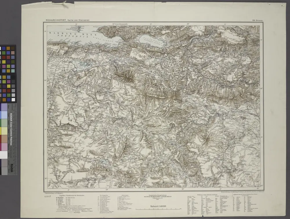
B2. Brussa. / bearbeitet von Richard Kiepert. 1902-1916.
1904
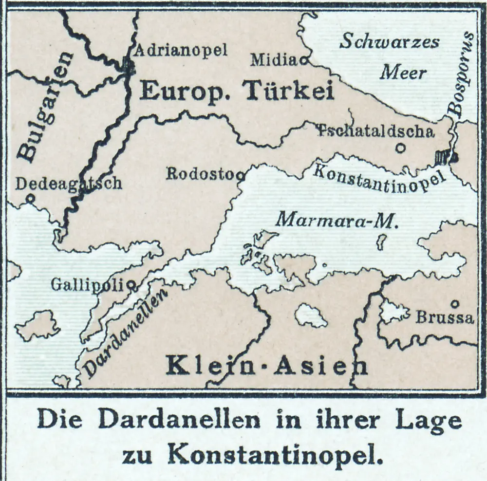
Die Dardanellen in ihrer Lage zu Konstantinopel
1916
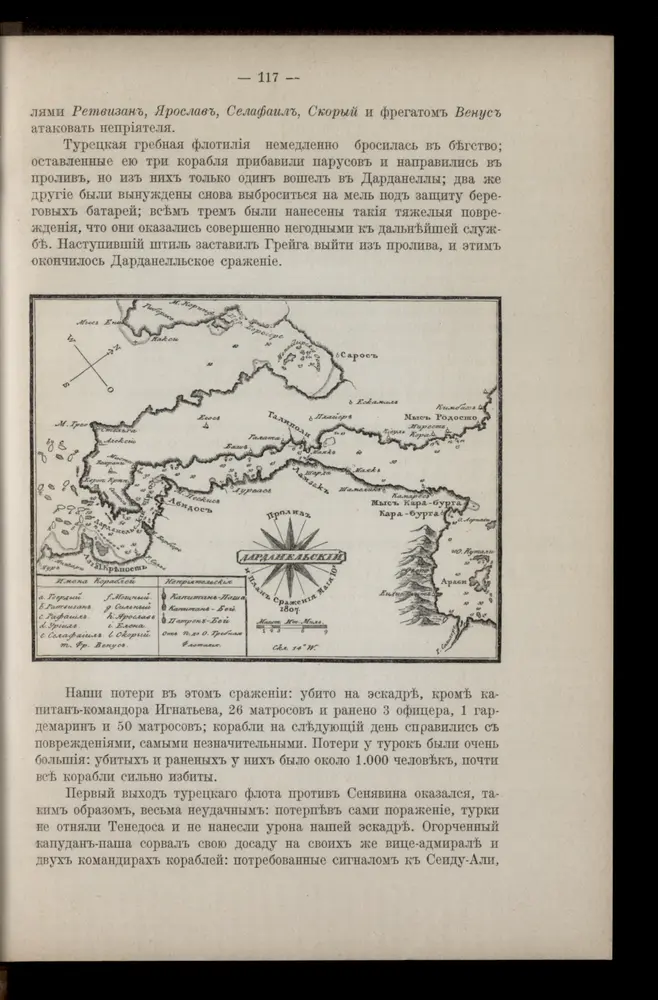
Prolyv Dardanel'skīj i plan sraženīja maīja 10 1807
1807
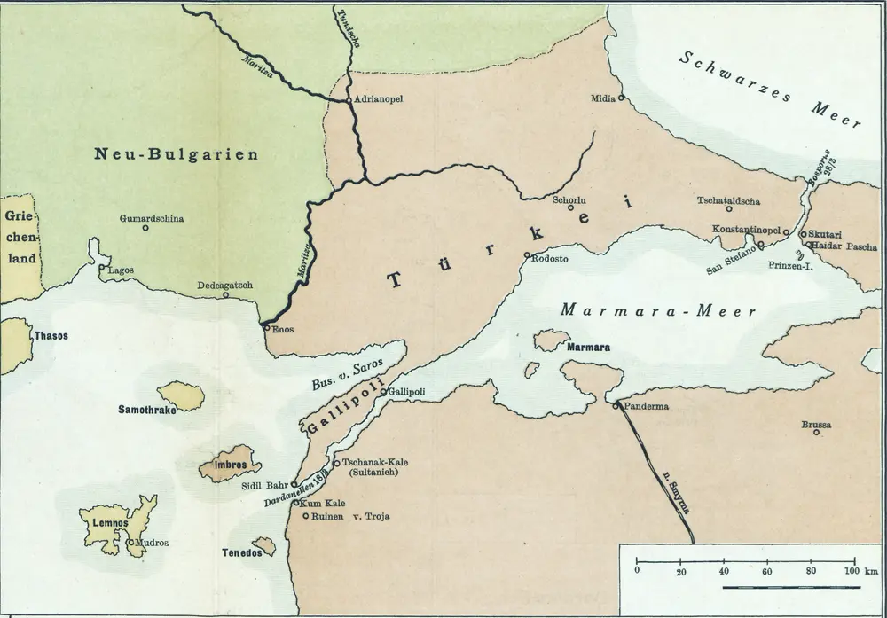
[Konstantinopel]
1915
[Romanien]
2013
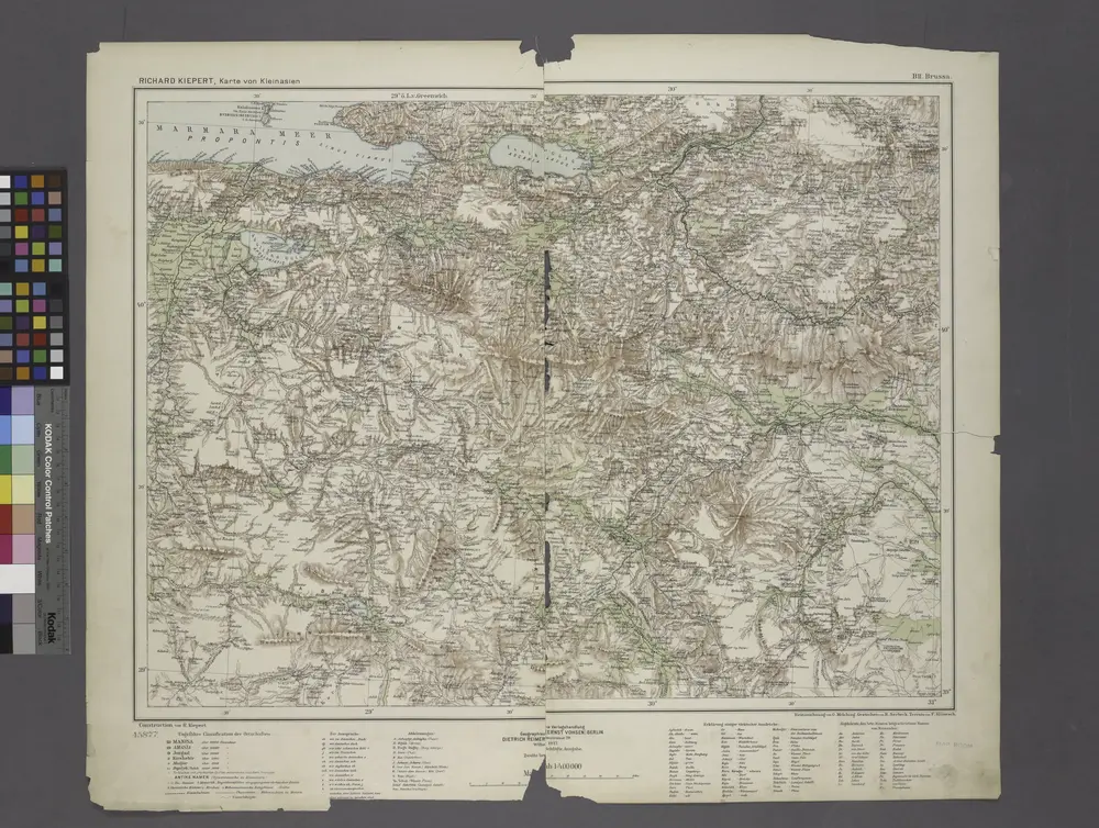
B2. Brussa. / bearbeitet von Richard Kiepert. 1902-1916.
1908
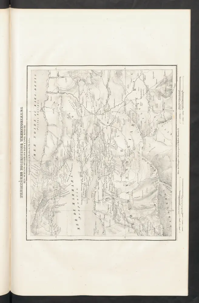
Premières Possessions Territoriales
1844
Hellert, J.J.
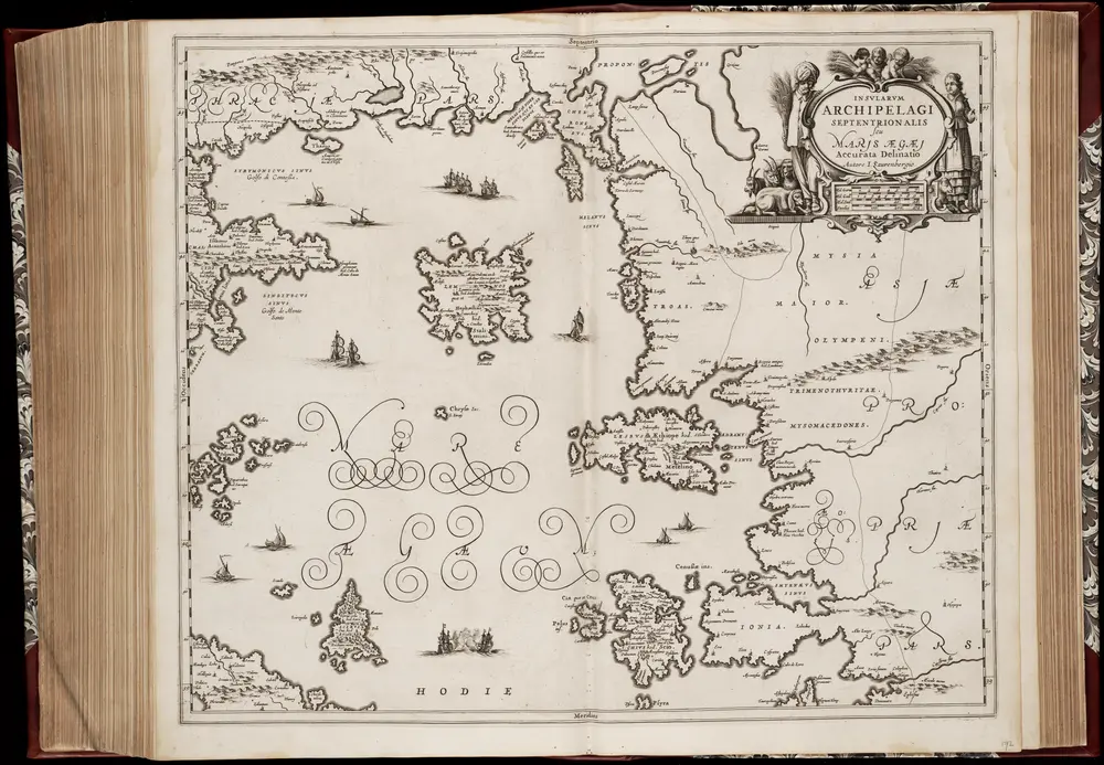
Insvlarvm Archipelagi Septentrionalis seu Maris Aegaei accurata delinatio / autore I. Laurenbergio
1650
[Amstelodami] : [Apud Ioannem Ianssonium]
1:1m