Mappa catalogata
Reduzirte-Karte vom PERSISCHEN GOLF


Titolo completo:Reduzirte-Karte vom PERSISCHEN GOLF
Anno di illustrazione:1832
Data di pubblicazione:1832
Editore:Justus Perthes
Dimensione fisica:20 x 30 cm
Scala della mappa:1:2 100 000
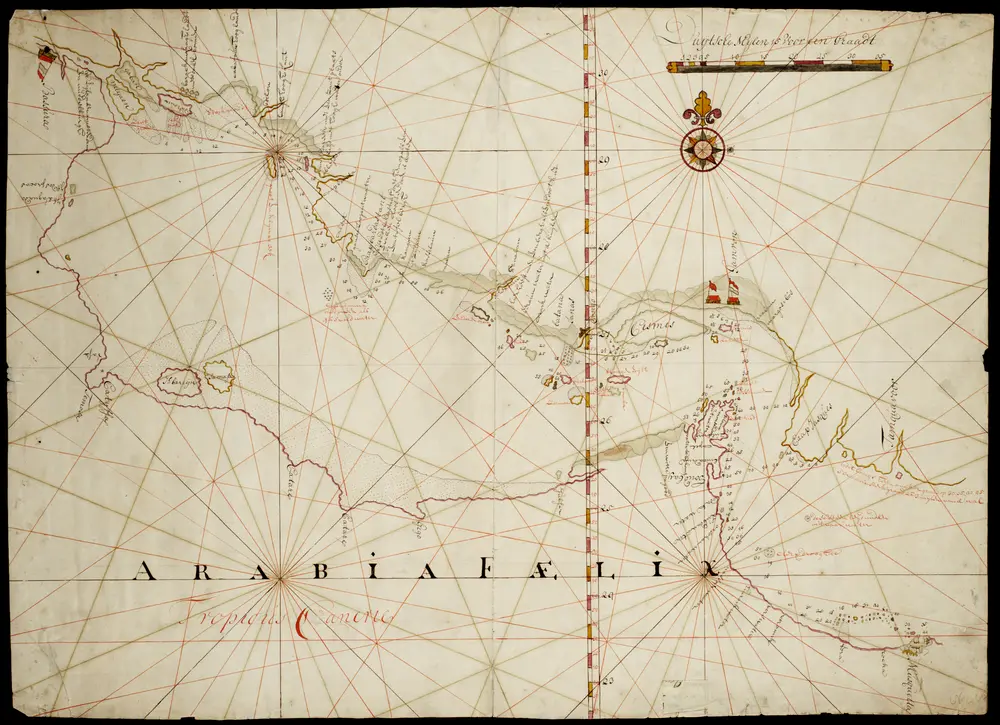
Kaart van een gedeelte Persische Golf van Mascate tot Bassora
1700
Reduzirte-Karte vom PERSISCHEN GOLF
1832
Berghaus, Heinrich Karl Wilhelm
1:2m
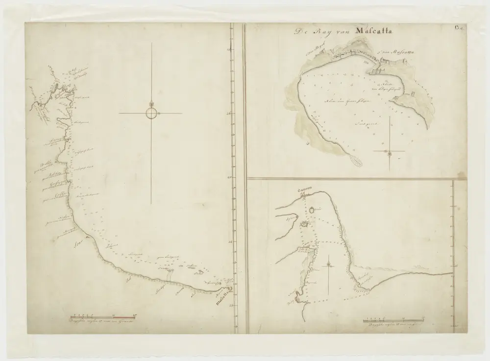
Kaart van een gedeelte van de Persische Golf van Mascate tot Pt. Doggeby
1700
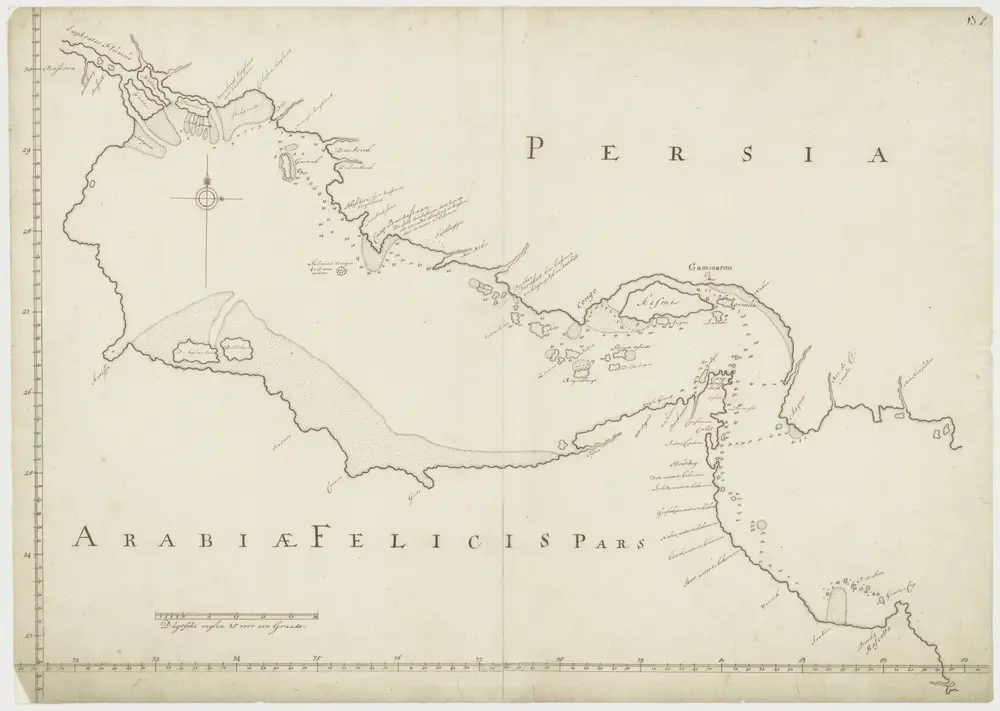
Kaart van Persische Golf
1700
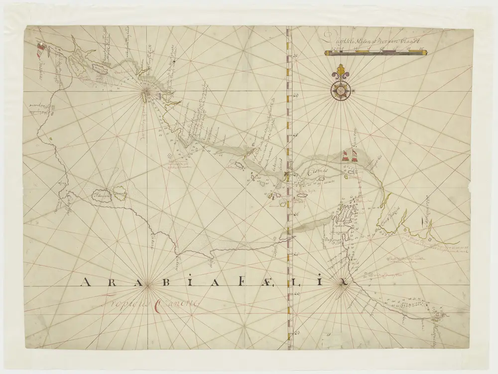
Kaart van een gedeelte Persische Golf van Mascate tot Bassora
1700
Indischer Ozean
1922
Reichs-Marine-Amt
1:100k
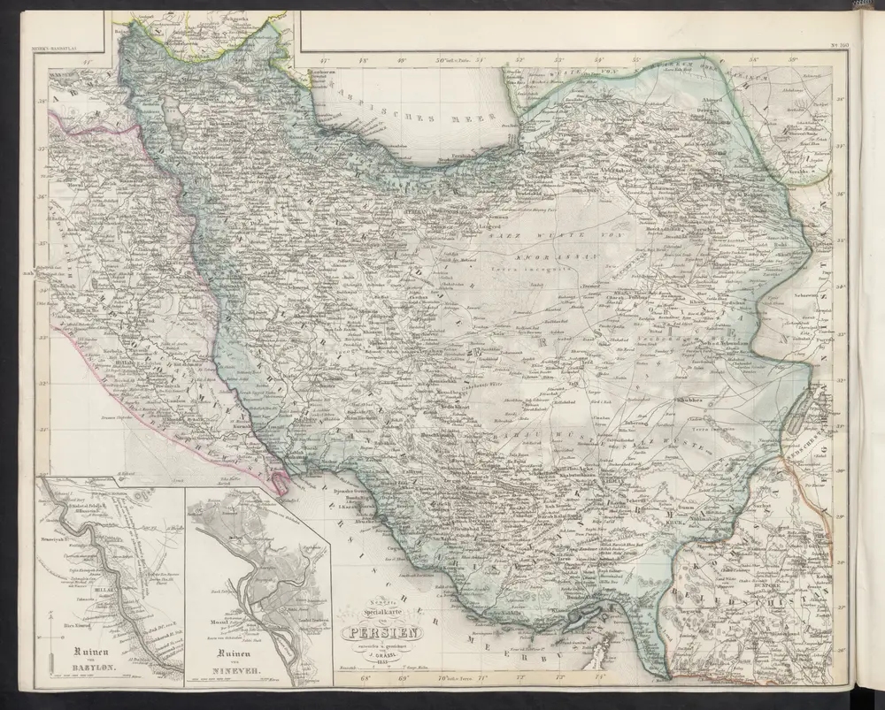
Neueste Specialkarte von Persien
1860
Meyer, J.
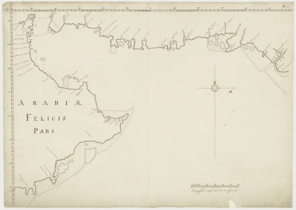
Kaart van een gedeelte van de Perzische Golf
1700
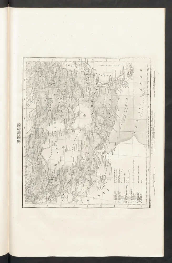
Perse
1844
Hellert, J.J.
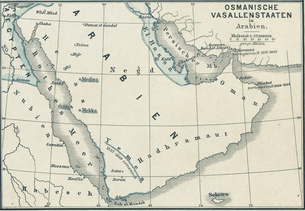
Osmanische Vasallenstaaten in Arabien
1880
1:27m