Maps of Mediterranean Sea

Carte genérale et itineraire de l'Europe
1 : 2300000 Evropa Traux, Maximilian de Schwarzenberg, Karel Filip Artaria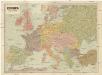
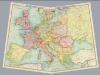
Evropa
1 : 5000000 Evropa V. Neubert
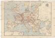
Nová mapa vysílacích stanic Evropy
Evropa Hlaváček, Josef Orbis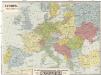
Evropa
1 : 5000000 Evropa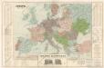
Evropa

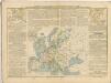
The Mountain Systems of Europe
The physical atlas Johnston, Alexander Keith William Blackwood & Sons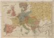
Neueste Geschäfts u. Reisekarte von Europa
1 : 5000000 Evropa Brandes, H. Moritz Perles
Carte Routiere et Postale de la France
Compagnie Internationale des Wagons-lits et des Grands Express européens
1 : 4500000 Evropa L. Hermann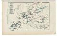
Kriegszusammenhänge V (1788 - 1815)
1 : 20000000 Europa Napoleonische Kriege, Koalitionskriege
Kriegszusammenhänge III (1700 - 1721)
1 : 20000000 Europa Nordischer Krieg <1700-1721>, Türkenkriege
Oorlogskaart van Europa : met vermelding der voornaamste gebeurtenissen van af 28 juni 1914 tot 29 januari 1916 / samengest. en get. door Ph.L. Battefeld
1 : 2600000 Annotatie: Met lijst van: Datums en feiten; Annotatie geografische gegevens: Met schaalstok Ph.L. Battefeld Delft : Hillen's Sigaren en Tabaksfabriek / (Amsterdam : drukkerij Senefelder)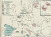
4. Friedensschlüsse nach dem span. Erbfolgekriege 1713/1714. nach d. Nord. Kriege 1719/21. Passarowitz 1718
1 : 30000000 Europa Nystad / Friede, Požarevac / Friede
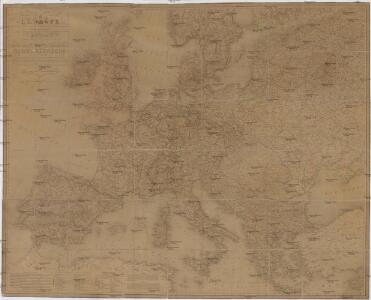
General-Karte von Europa
1 : 5500000 Evropa Bomsdorff, Th. von Verlag von Karl Prochaska
Geschäfts- und Reise-Karte von Europa
1 : 4440000 Evropa König, Th. Straube, Julius Mitscher & Röstell
Europe - physical features & population.
1 : 15000000 John Bartholomew and Son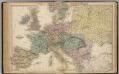
Map of Europe.
1 : 6300000 Walling, H. F.
Europe centrale. Chemins de fer, lignes de navigation
1 : 4000000 A. Taride Paris : A. Taride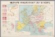
Nieuwste oorlogskaart van Europa
1 : 6000000 A[mster]dam : Meulenhoff
Europe
1 : 4000000 Evropa Andriveau-Goujon, E. E. Andriveau-Goujon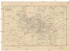
Cestovní spoje v Evropě
Evropa
Machtverhältnisse der Europ. Staaten
1 : 14000000 Schuldenlast Block, Maurice Justus Perthes
Mitteleuropa zur Napoleonischen Zeit

Europa im 16. Jahrhundert (1559)
1 : 15000000 Europa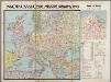
Politieke kaart van Midden Europa 1939 : met aanduiding van de nieuwste grenzen, bijzonderste steden, stroomen en rivieren, spoorwegen, luchthavens, enz.
1 : 4300000 Annotatie: Met demografische en politiek-economische gegevens [Antwerpen] : Patria [etc.]
[Evropa - politická mapa]
1 : 3000000 Evropa Paulík, Antonín Klus, František
Strassenkarte des Bezirkes Joslowitz