Mapa catalogado
Nouvelle carte politique, militaire et routiere de l'Espagne et du Portugal


Título completo:Nouvelle carte politique, militaire et routiere de l'Espagne et du Portugal
Año de ilustración:1812
Fecha de publicación:1812
Editorial:J.C. Hinrichs
Tamaño físico:20 x 30 cm
Sardinia
1630
Mercator; Hondius
n/a
1728
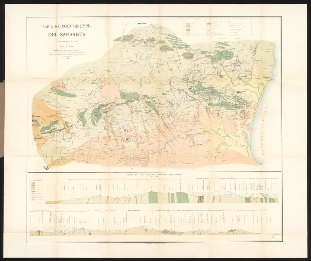
Carta geologico-mineraria del Sarrabus (Isola di Sardegna)
1890
Tipografia nazionale
1:50k
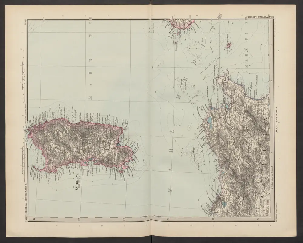
[Italien, Blatt 3]
1892
Stieler, Adolf
Karte von Spanien und Portugal.
1832
Brué, A. H.
Nouvelle carte politique, militaire et routiere de l'Espagne et du Portugal
1812
Tramezini, Michaelo
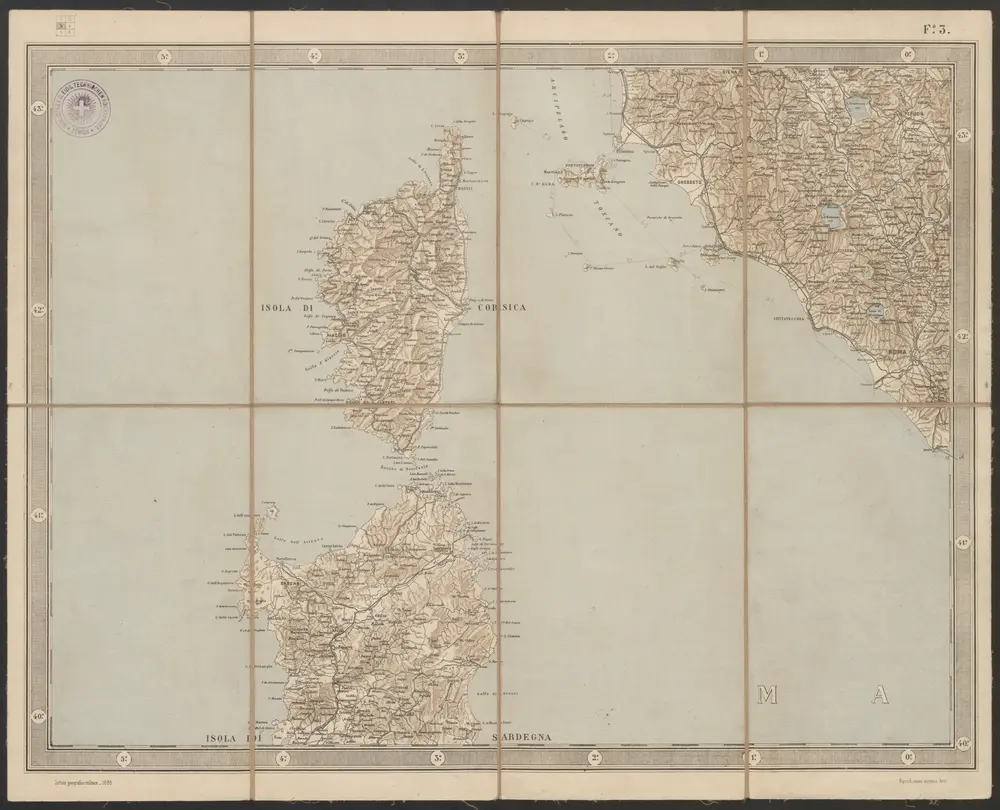
Carta d'Italia alla scala di 1 a 1 000 000
1885
Istituto Geografico Militare (Firenze)
1:1m
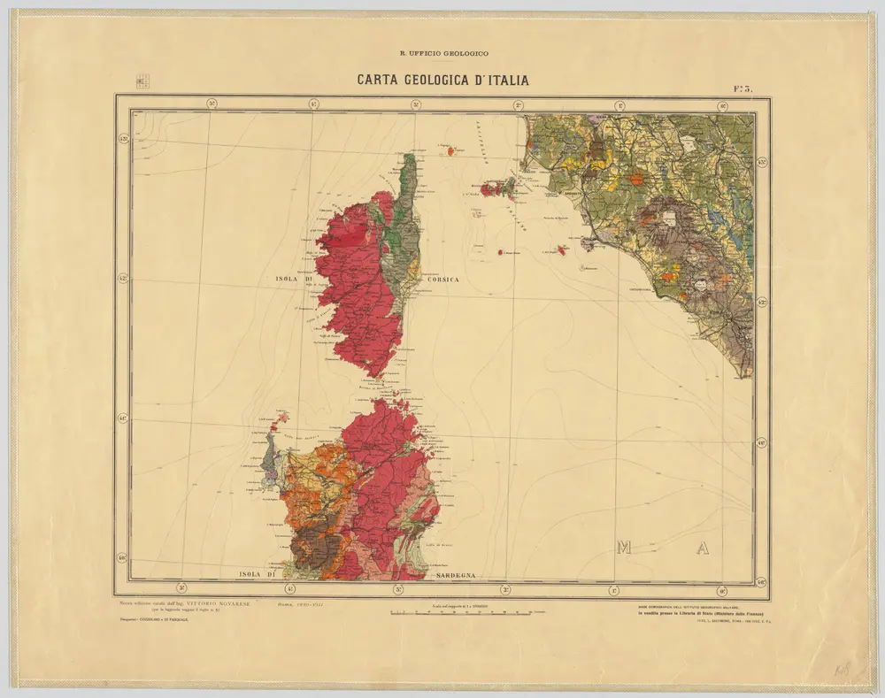
Fo. 3, uit: Carta geologica d'Italia
1931
Rome : R. Ufficio Geologico
1:1m
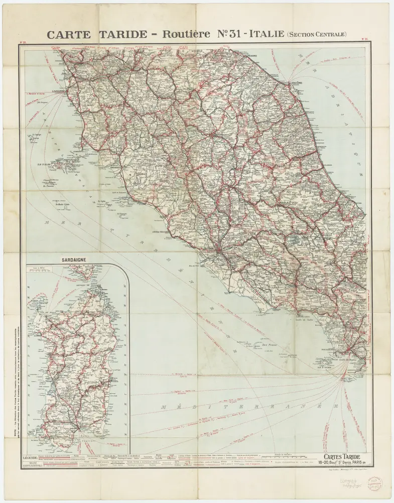
[Kaart], uit: Italie (section Centrale)
1925
Paris : Taride
1:600k
Die Königreiche Spanien und Portugal nach den neuesten Beobachtungen verfast
1809
Votésky, Michael
Die Königreiche Spanien und Portugal nach den neuesten Beobachtungen verfasst
1806
Renner