Mapa catalogado
Liberia (1914)


Título completo:Liberia (1914)
Año de ilustración:1905
Editorial:[London] : [TSGS, War Office]
Tamaño físico:20 x 30 cm
Liberia (1914)
1905
Great Britain. General Staff. Topographical Section.
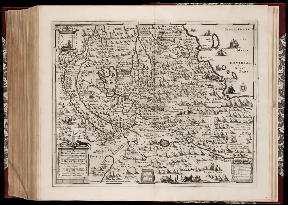
Habessinia seu Abassia, presbyteri Johannis regio perperam dicta ... / Jobi Lodolfi [cart.] ; Christianus Ludolfus J. Filius delineavit ex autographo Parentis
1683
Jobus Ludolphus 1624-1704; Christianus Ludolfus
1:2m
Carta della colonia Eritrea coll'Abissinia : e regioni limitrofe tra il Nilo, Suakin e il Golfo d'Aden
1895
Cora, Guido, 1851-1917
1:4m
Soudan égyptien & Abyssinie d'après divers documents
1884
Amend, H
1:4m
Map of the route explored by Captns. Speke & Grant from Zanzibar to Egypt : showing the outfall of the Nile from the Victoria Nyanza (Lake) and the various Negro territories discovered by them
1863
Edward Stanford Ltd
1:6m
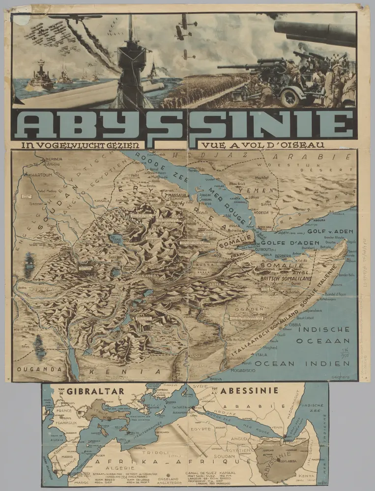
Abyssinië in vogelvlucht gezien = Abyssinie vue a vol d'oiseau / Seghers
1935
W. Seghers
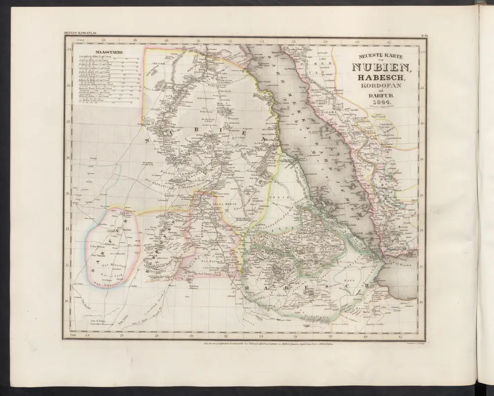
Neueste Karte von Nubien, Habesch, Kordofan und Darfur
1860
Meyer, J.
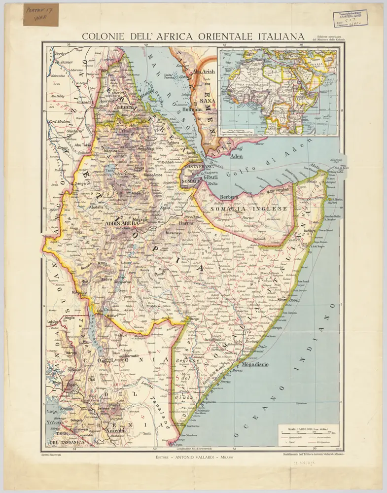
[Kaart], uit: Colonie dell'Africa Orientale Italiana
1935
Milano : Vallardi
1:4m
A map of Rhodesia divided into provinces and districts under the administration of the British South Africa Company
1897
Edward Stanford Ltd
1:1m
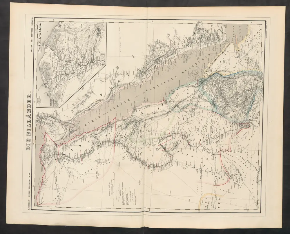
Die Nilländer
1860
Kiepert, Heinrich