Project
Community
News
My maps
Cataloged map
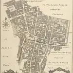
CRIPPLEGATE WARD with its Divisions into PARISHES According to a new SURVEY.
Full title:
CRIPPLEGATE WARD with its Divisions into PARISHES According to a new SURVEY.
History