Project
Community
News
My maps
Carte cataloguée
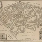
ALDGATE
Titre complet:
ALDGATE
L'histoire