编目地图
LONDON extending from the HEAD of the PADDINGTON CANAL West to the WEST INDIA DOCKS EAST with the proposed improvements between the Royal exchange and Finsbury Square
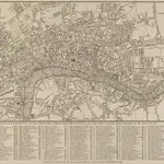
完整标题:LONDON extending from the HEAD of the PADDINGTON CANAL West to the WEST INDIA DOCKS EAST with the proposed improvements between the Royal exchange and Finsbury Square