Mappa catalogata
GENERAL PLAN OF THAT PART OF THE CITY OF LONDON THAT WAS DESTROYED BY THE GREAT FIRE OF 1666; SHOWING THE PRESENT STATE THEREOF
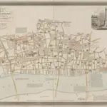
Titolo completo:GENERAL PLAN OF THAT PART OF THE CITY OF LONDON THAT WAS DESTROYED BY THE GREAT FIRE OF 1666; SHOWING THE PRESENT STATE THEREOF
Dimensione fisica:20 x 30 cm