Project
Community
News
My maps
Cataloged map
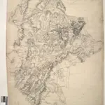
Woburn
Full title:
Woburn
History