Project
Community
News
My maps
Mapa catalogado
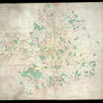
Ulster
Título completo:
Ulster
Tamaño físico:
20 x 30 cm
Historia